Hoodoos & Otherworldly Vistas
May 3, 2026 — Day 40
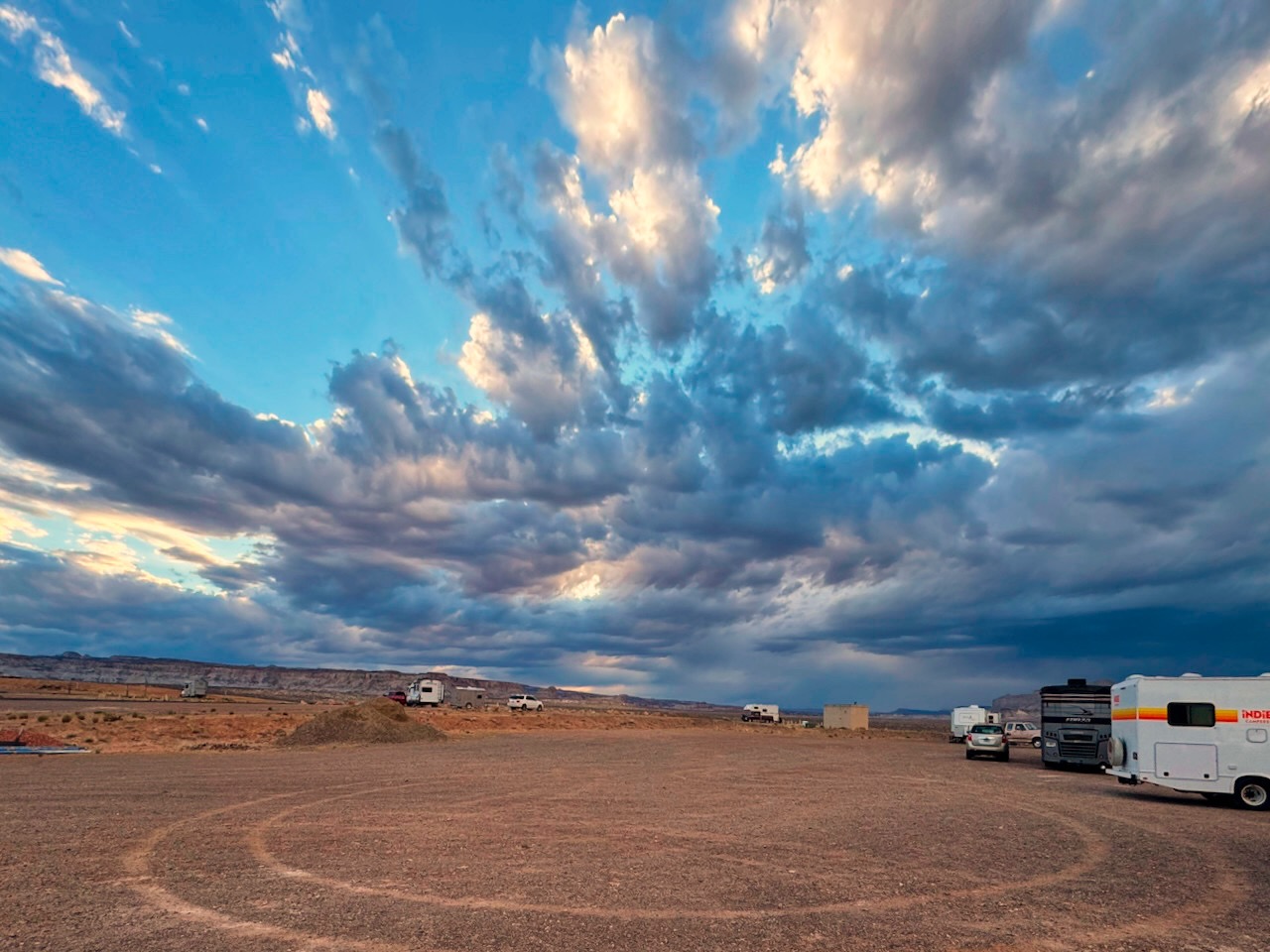
Lone Rock Beach Campground, Glen Canyon Recreation Area, Big Water, UT
This is a long post primarily of pictures, not walls of text. So it’s ok. Put your phone on silent, get a cold drink, put your feet up and dive in.
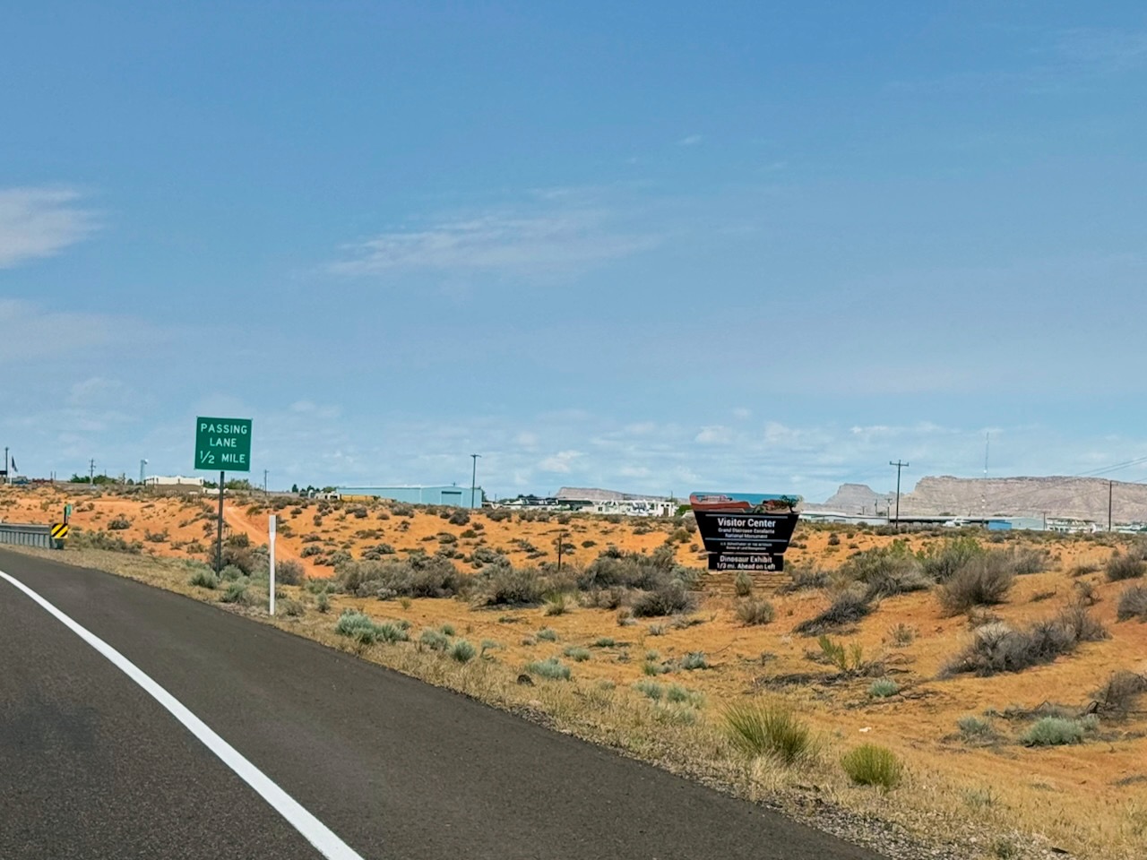
We have two things to do today! Visit the Toadstool Hoodoos and then drive the nearby Cottonwood Canyon Road. But first we’ll stop in at the Visitor Center for stamps in our book! We’re a sucker for a Visitor Center. Sadly, it was closed. We had read that might be but we hoped it was open. You see, supposedly they had a great dinosaur exhibit in there and we really wanted to see it.
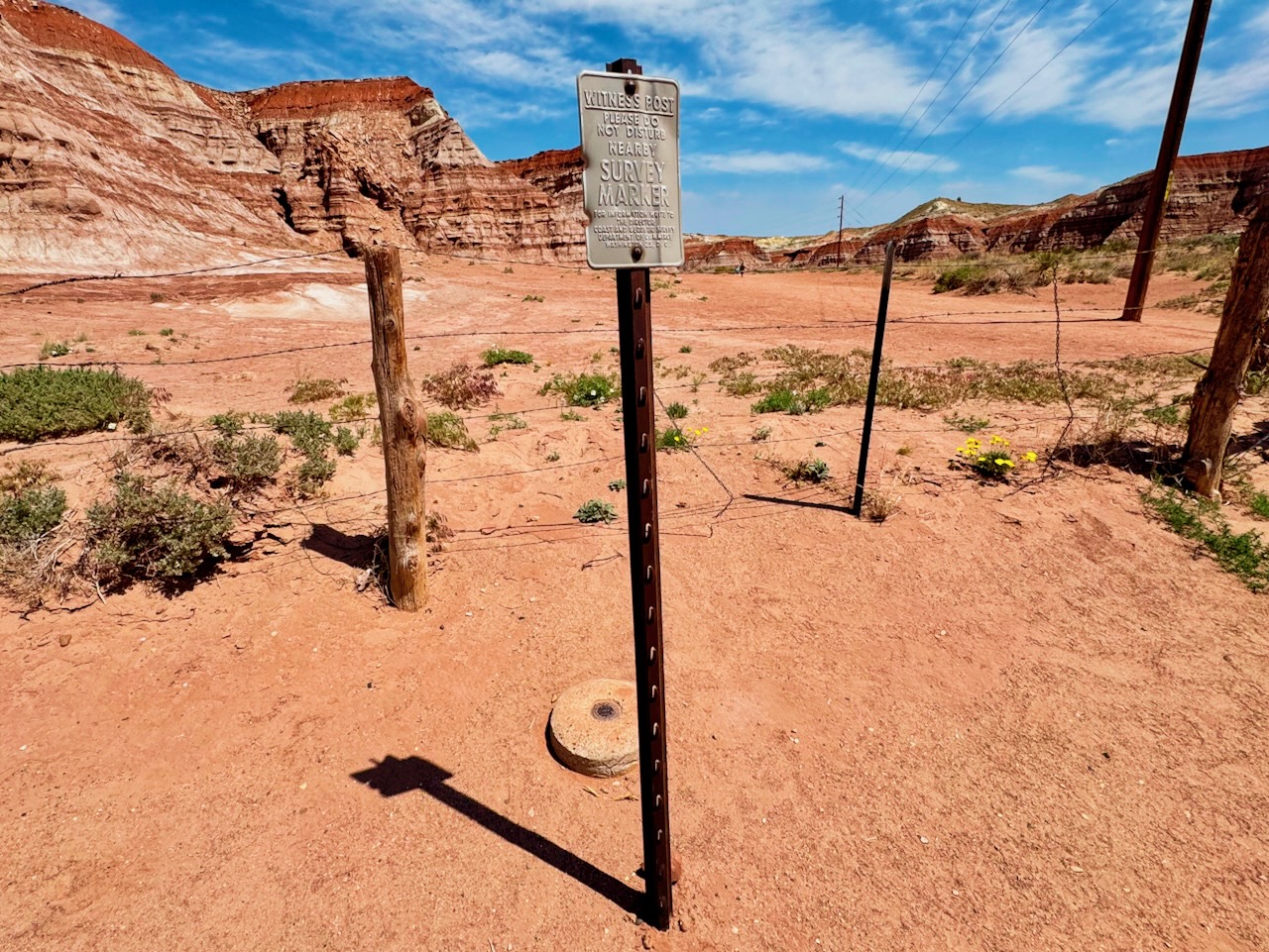
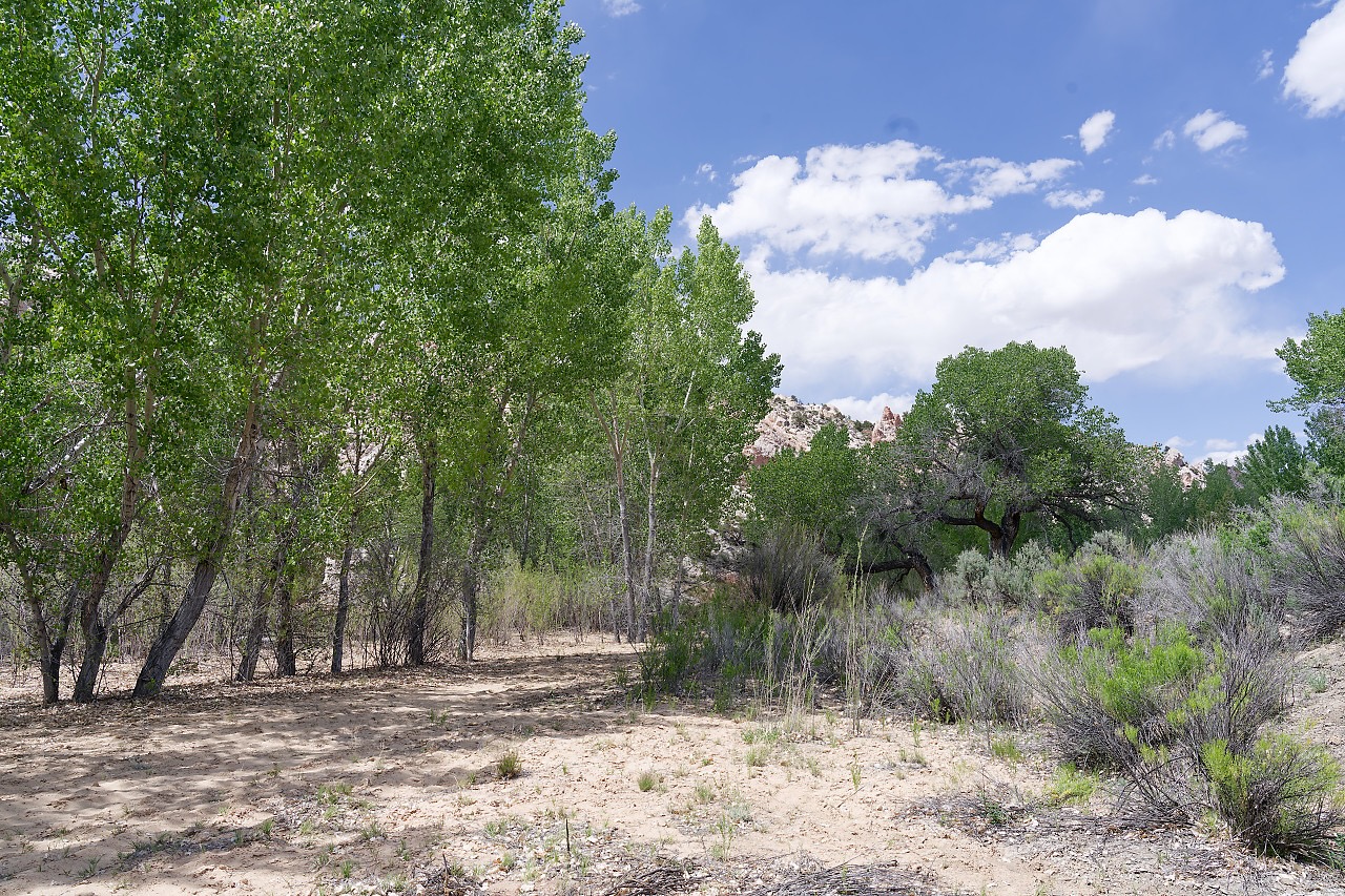
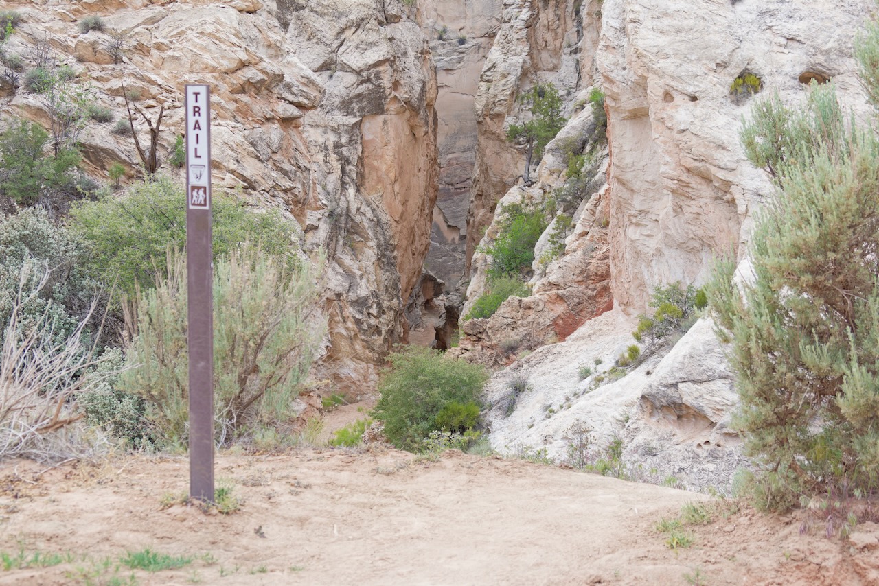
The parking lot for the Hoodoos Trail was easy to find. It was almost full but not quite. We passed the nearby survey marker and headed in. (susan here: as much as we’ve traveled I don’t think we’ve ever run into a witness post or a witness tree.)
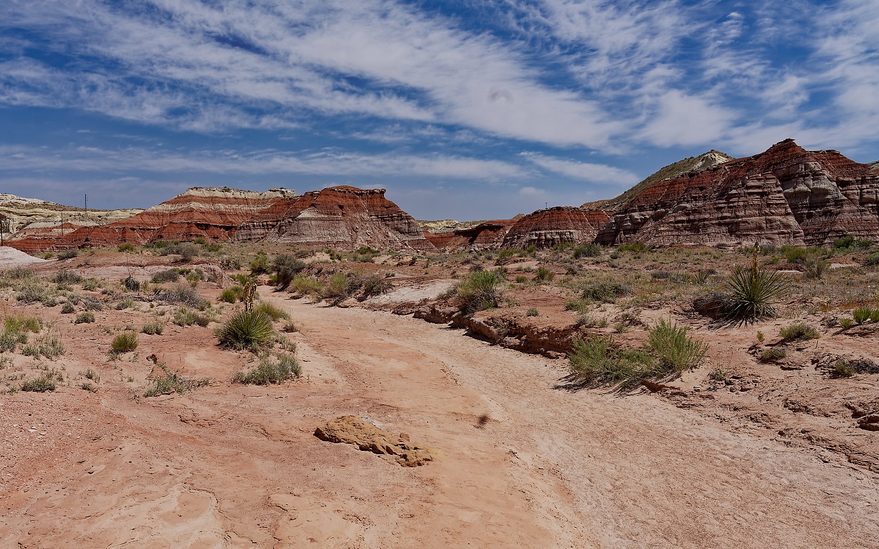
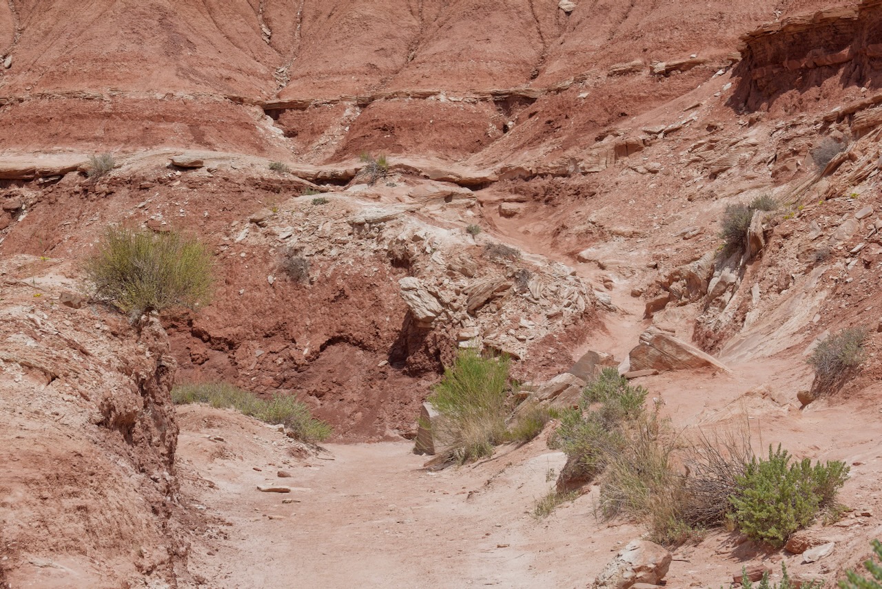
The path was super easy to find. Curiously, GaiaGPS and AllTrails both showed 2 paths at this point. We hate it when people go off the trail, which creates a “braid” which means you now have more trails, and that hurts the wildlife and the bio-crust. Everywhere you go there are signs to stay on trail because it can take decades for the soil to recover.
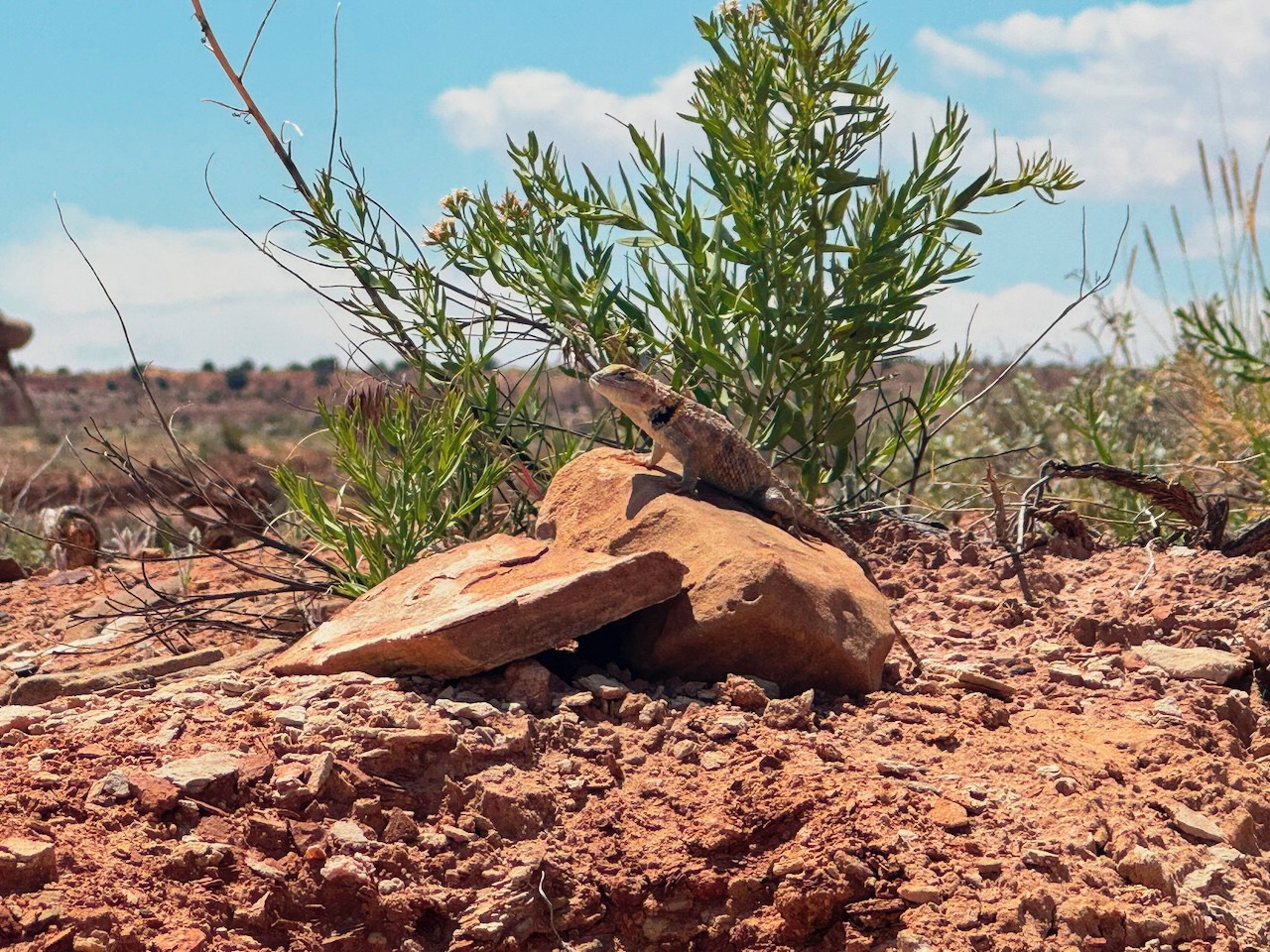
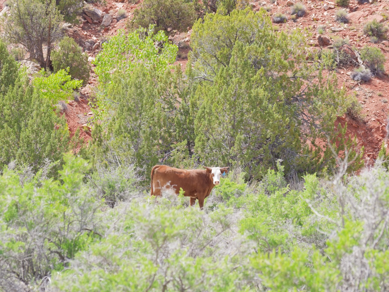
Speaking of wildlife…
See? Super easy trail.
It was hot though, even though it was before lunch. We both grabbed this bit of shade to rest.
Super easy? Yes, the trail goes between the left most plant in the group of 5 bushes on the right and then climbs. But worse, there is a fork here, continue down the wash? Another hiker was coming down from this point and he told is this was the trail, and not to worry, this was the worst section. So up we went.
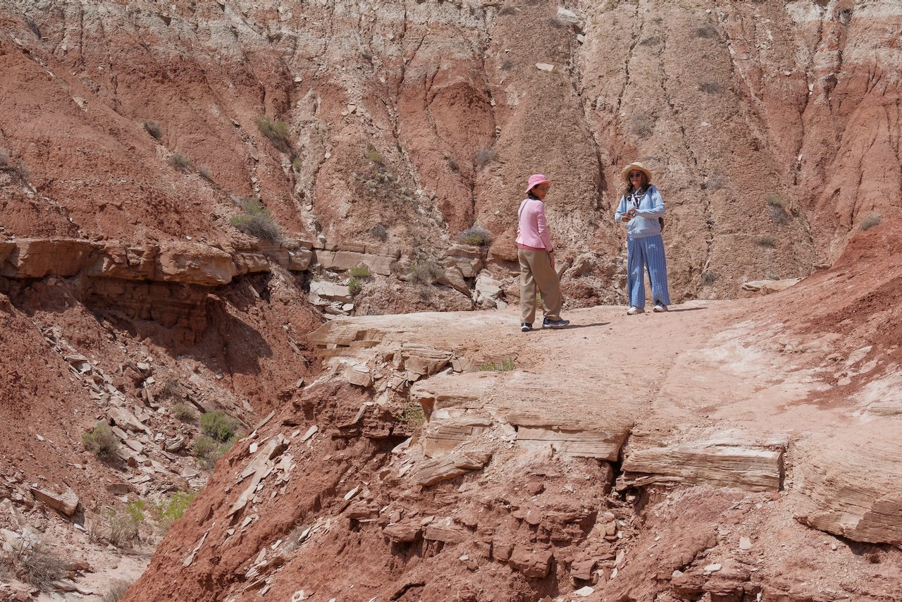
On top we found these two other hikers.
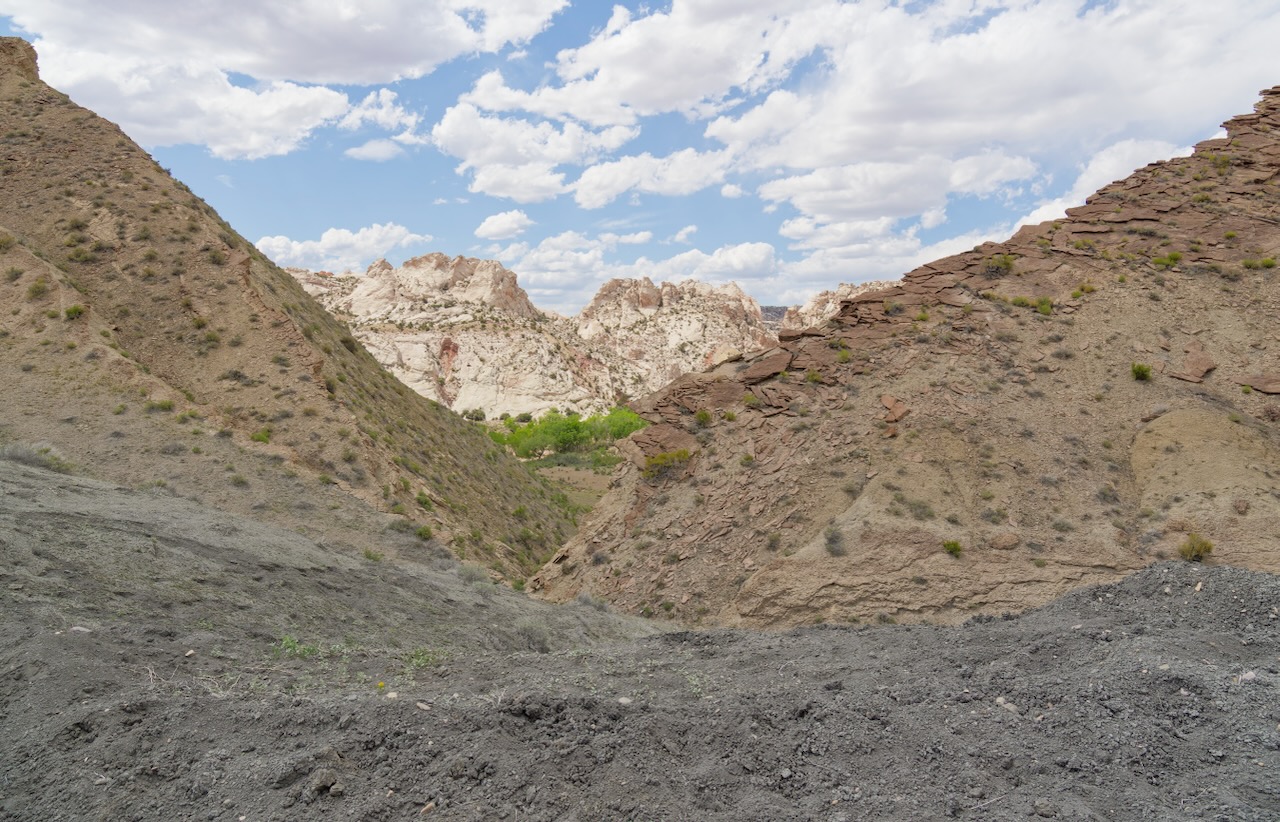
This is the descent from the difficult spot. It is more vertiginous than it looks in the photo. But look to the right, that’s the wash we would have gone through if we hadn’t gone up, and it was a serious scramble to get up there to exit the wash!
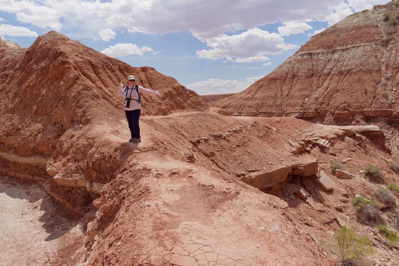
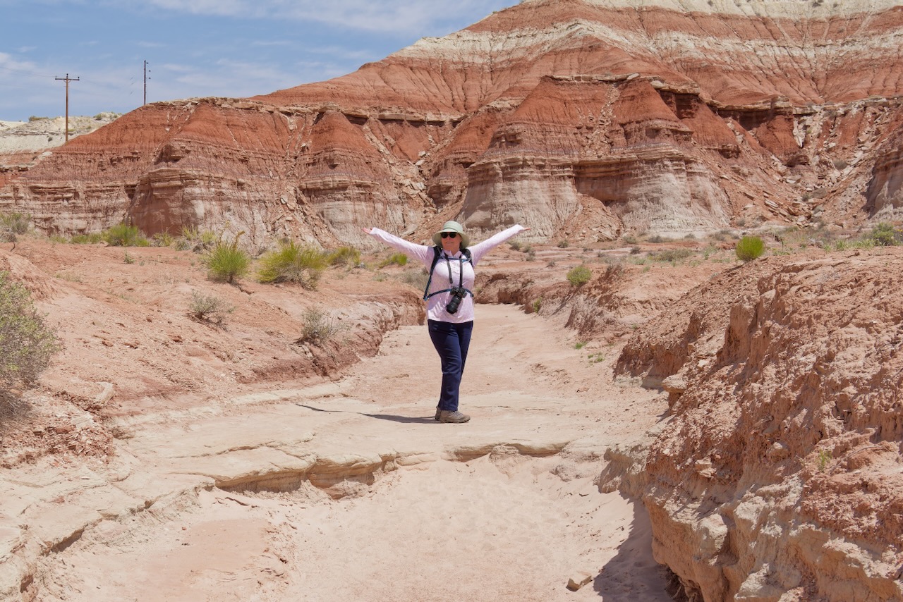
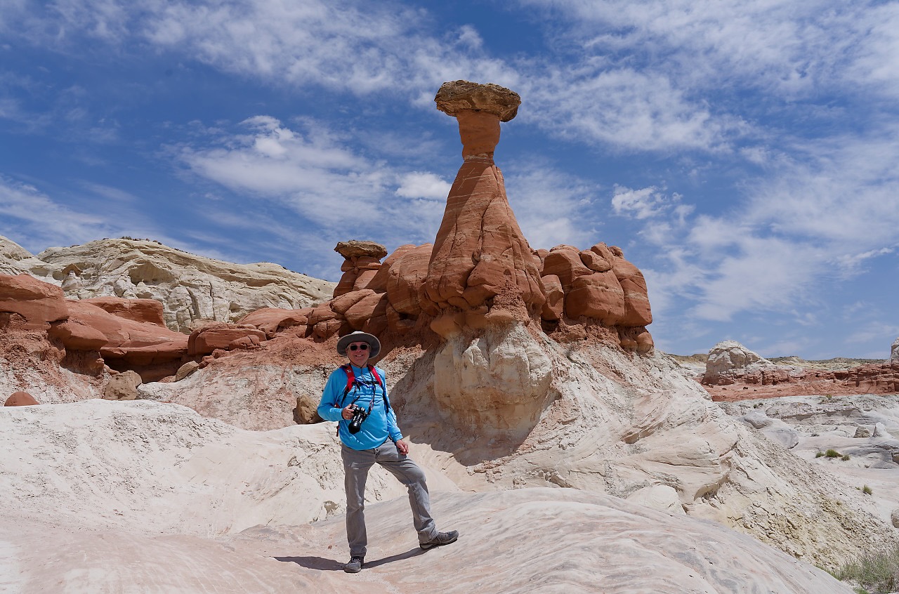
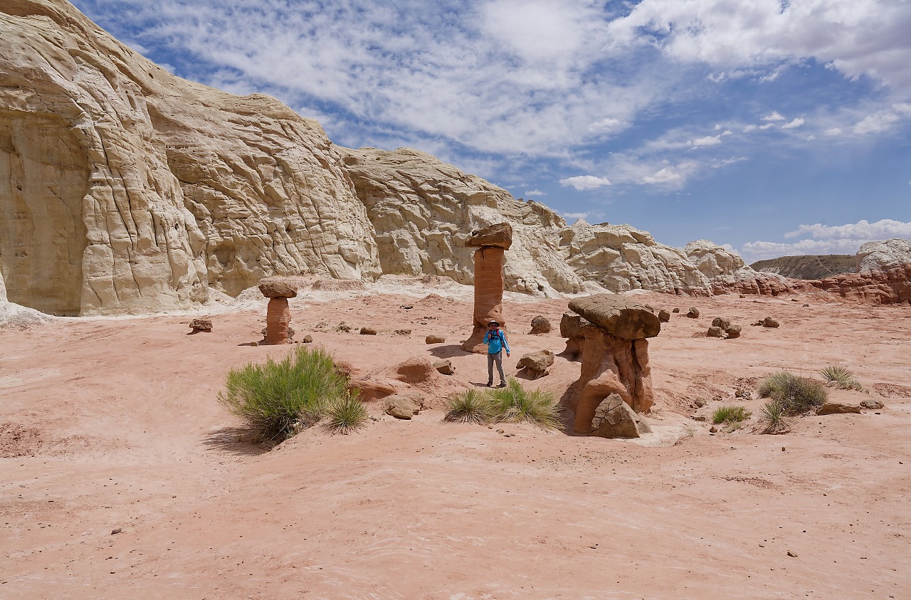
Almost to the hoodoos, Paul is contemplating taking a shot. (Paul here: I didn’t some things are just best appreciated in the moment because photos don’t always capture vistas very.) (susan here: but putting a person in a vista and you got a nice shot!)
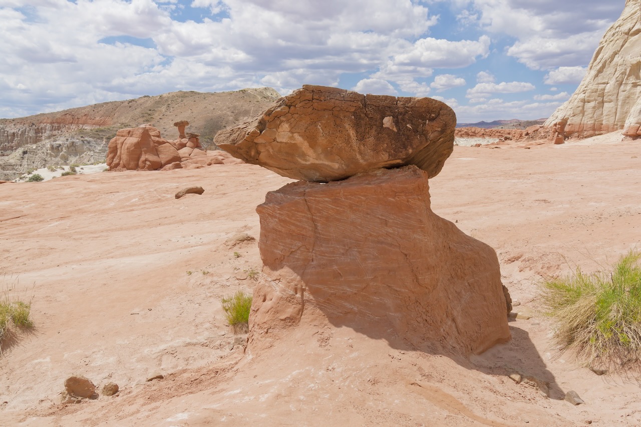
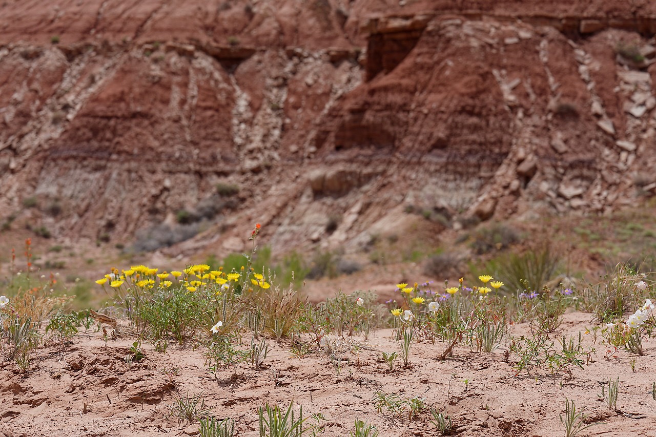
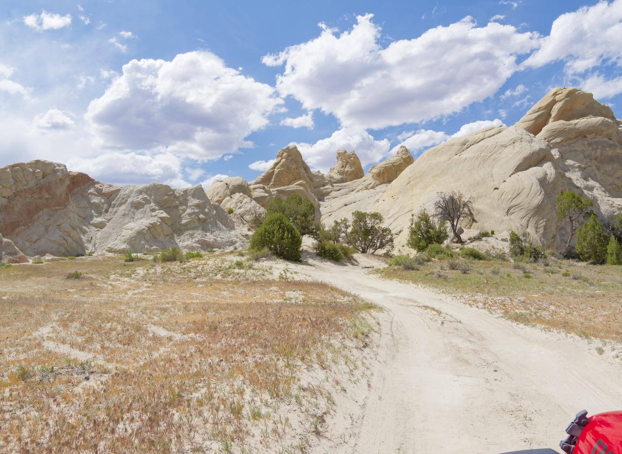
We made it!
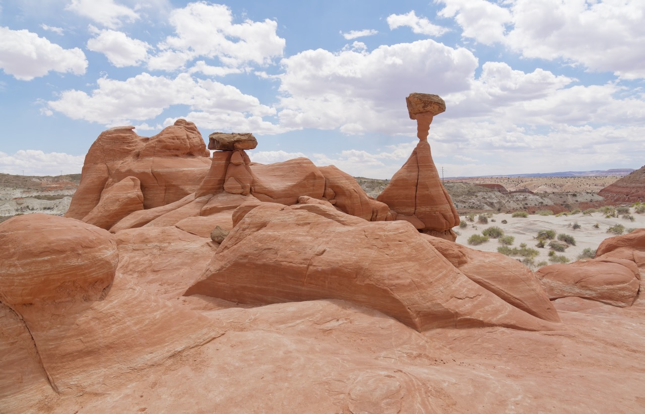
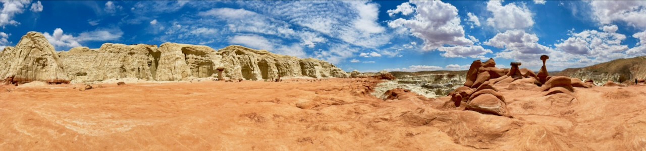
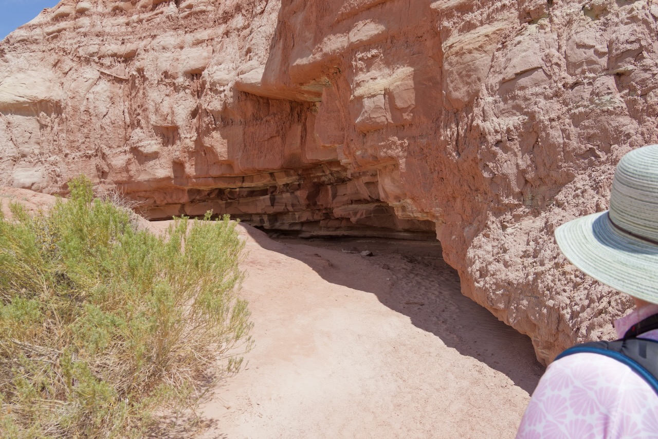
But wait, there’s more!
We huddled in the shade of this rock. It was getting seriously hot now.
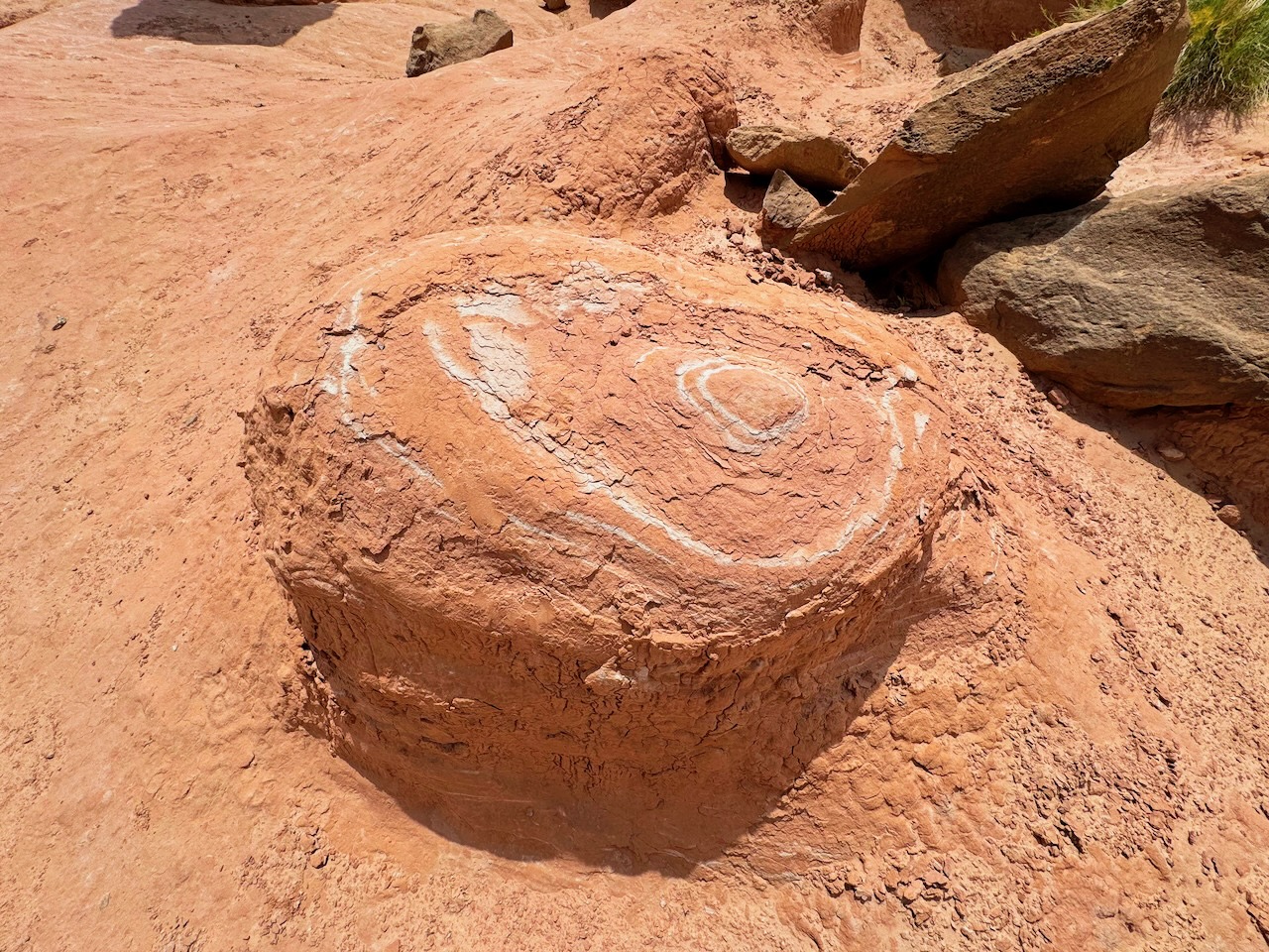
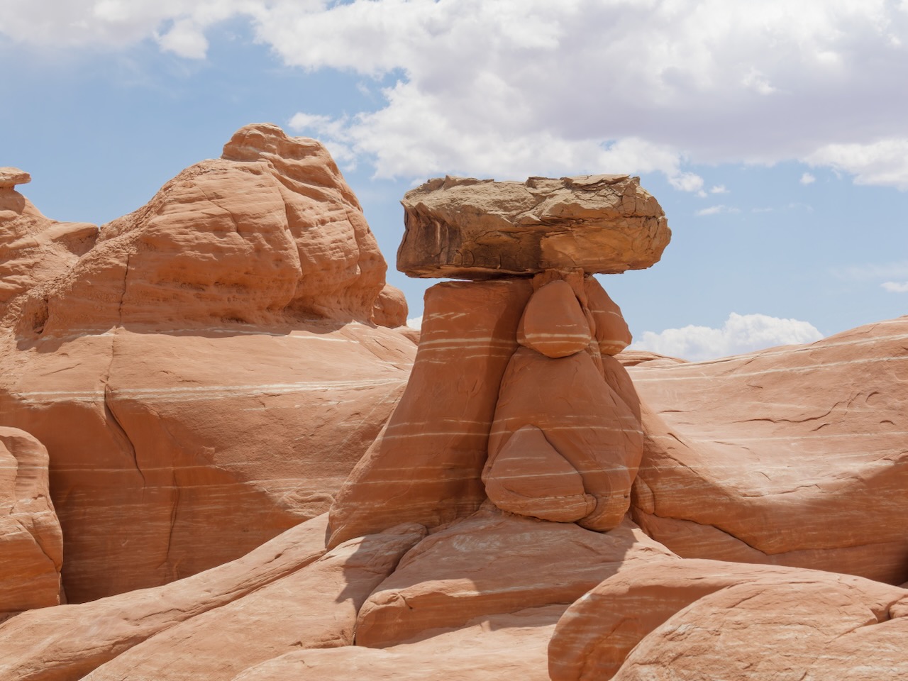
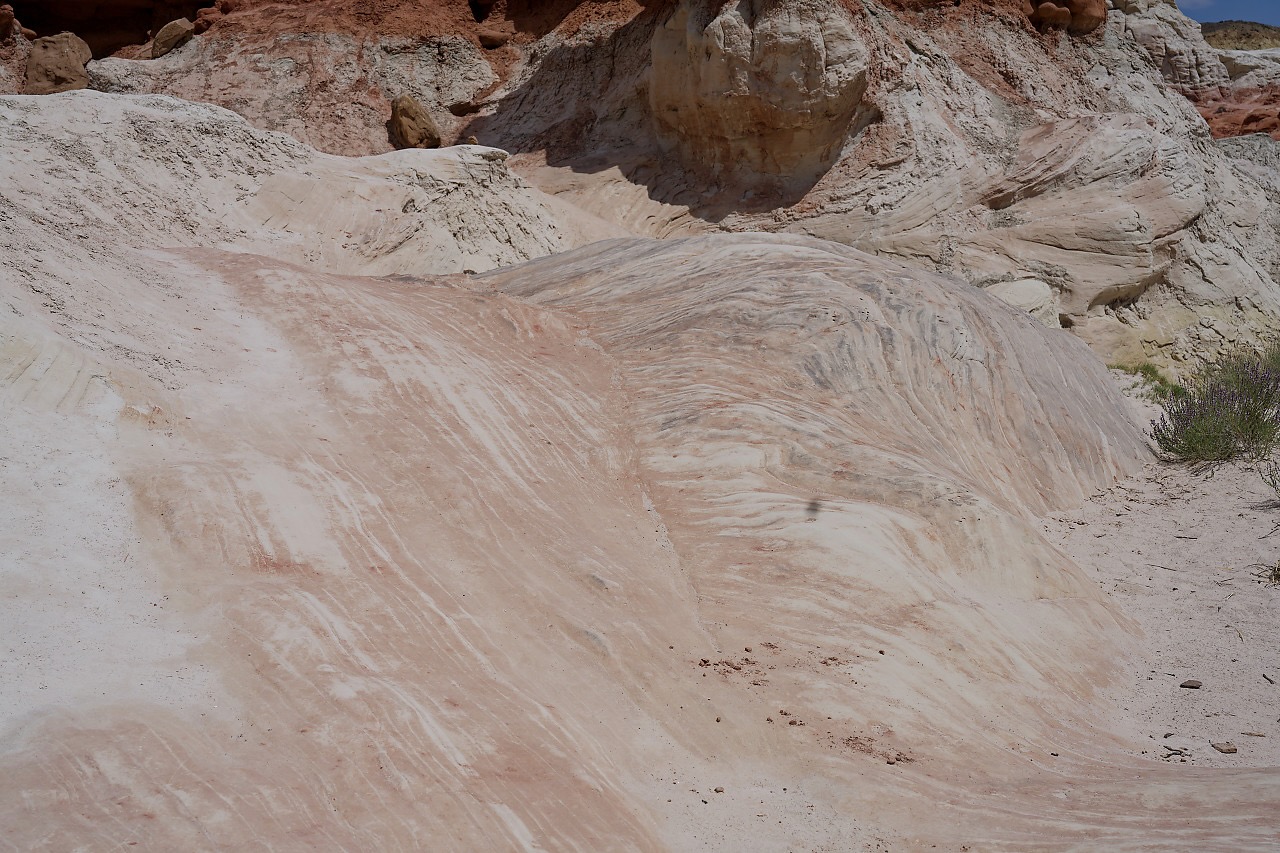
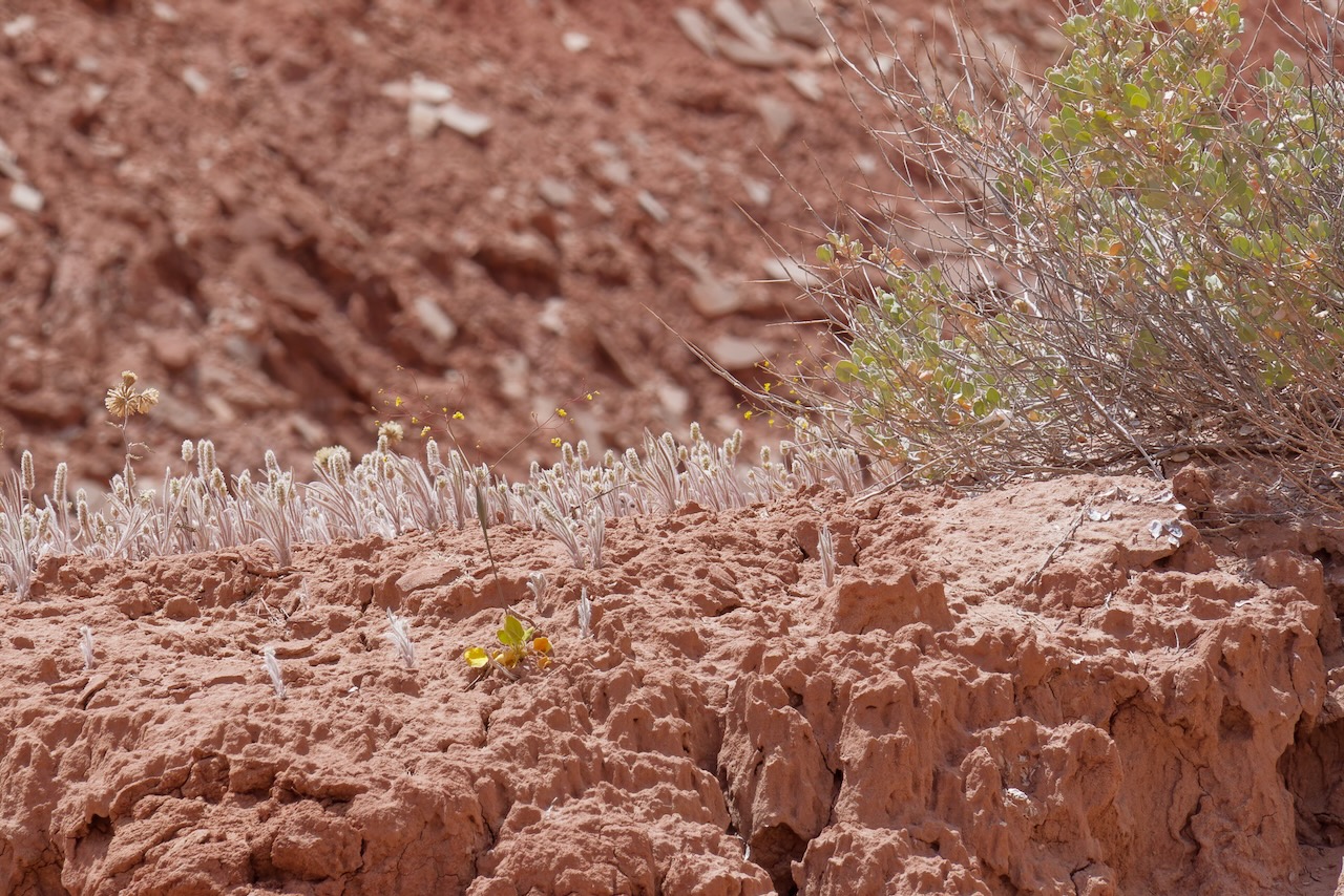
Remember Captain Lance? He taught us that these are petrified sand layers.
Check out these grasses, the light from behind made them glow.
We trudged back to the car, and we mean trudged. We both had a backpacks with water, 2 to 3 liters per person, so we weren’t dehydrated, but the heat and sun were taking its toll. We happily made it to the Jeep, turned on the AC and had lunch.
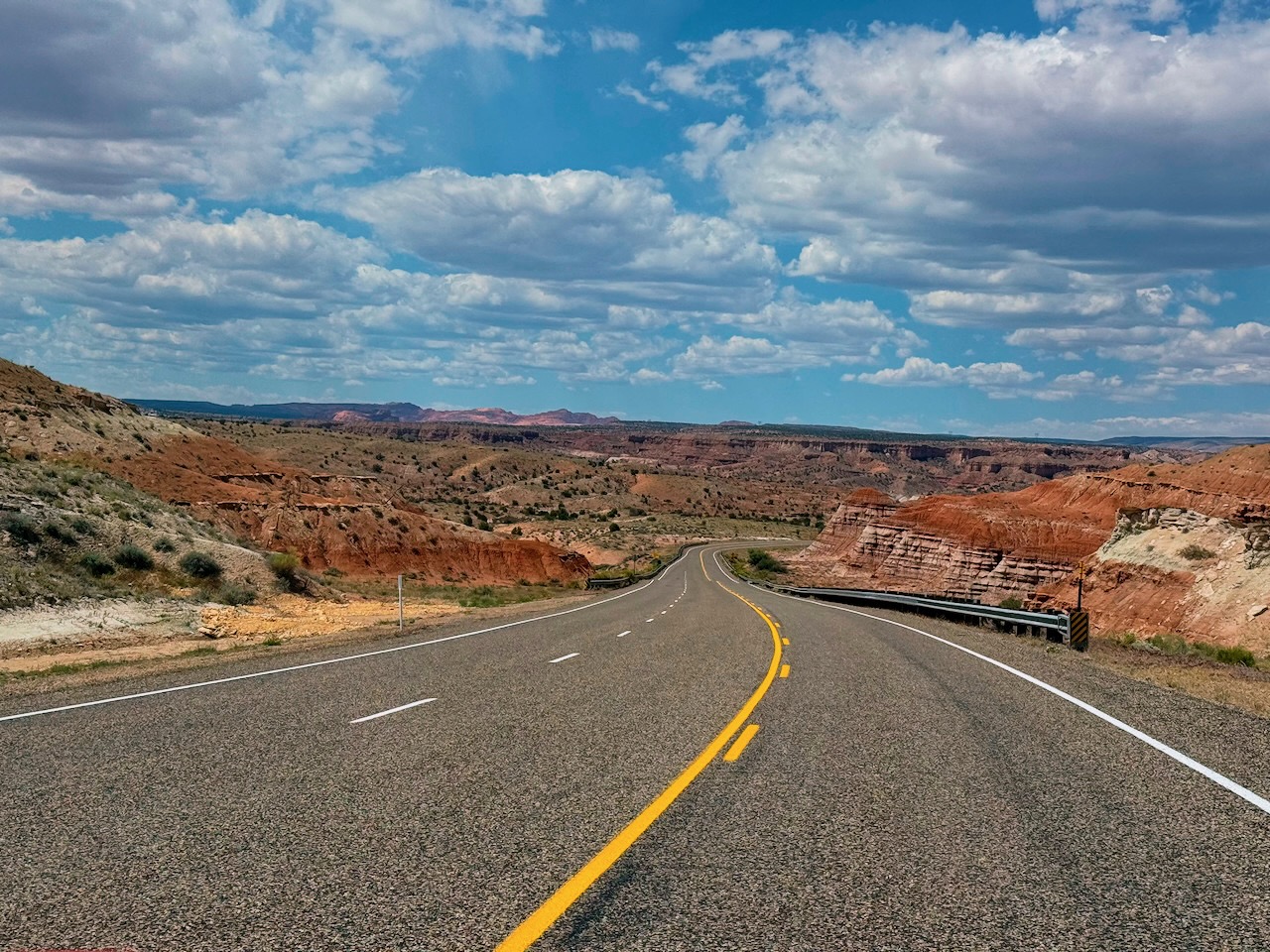
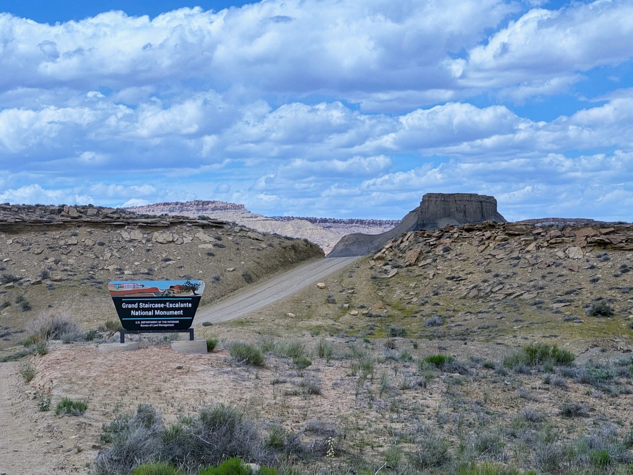
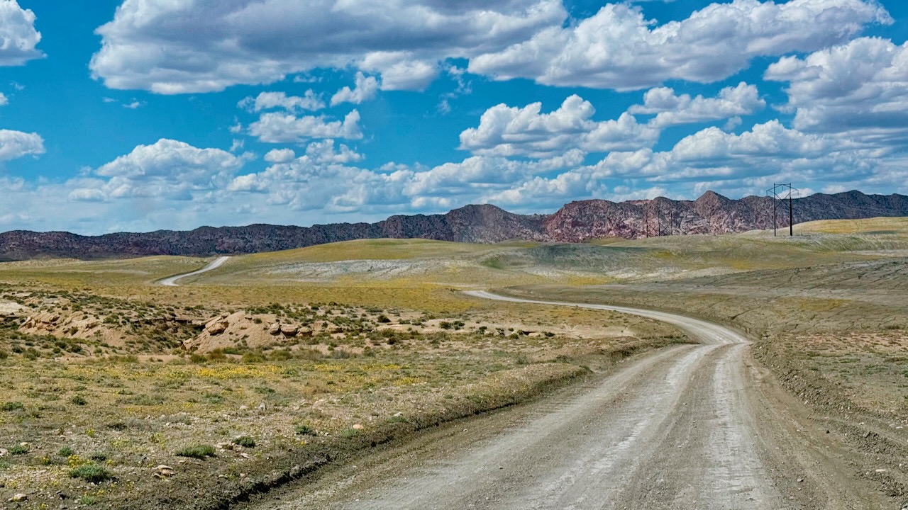
Next up was the long Cottonwood Canyon Road. This is 46 miles long, and only the last 5 miles are paved, but we had read that the scenery was spectacular.
Briefly, the Grand Staircase refers to the geological “steps” of land from the Grand Canyon to Bryce, as you approach Bryce the land gets millions of years younger. The Domínguez–Escalante expedition of 1776 tried to connect the missions in Montery CA to Sante Fe NM. Evidentially, Fr. Escalante had a better agent than Fr. Domínguez.
And to make it even more exciting, during Trump’s first presidency he almost halved the size of the National Monument from 1.9M acres to 1M. When Biden was president he restored it.
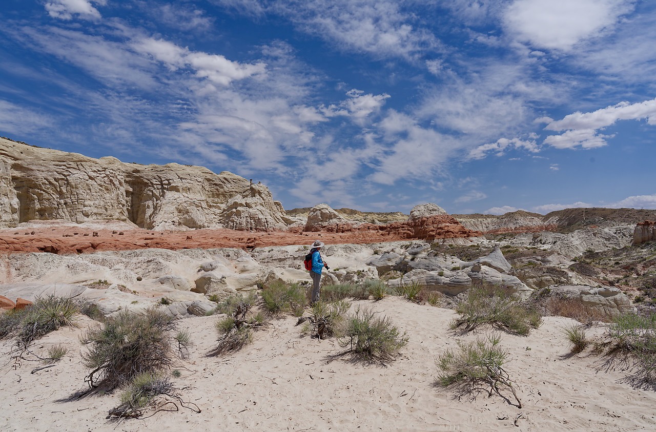
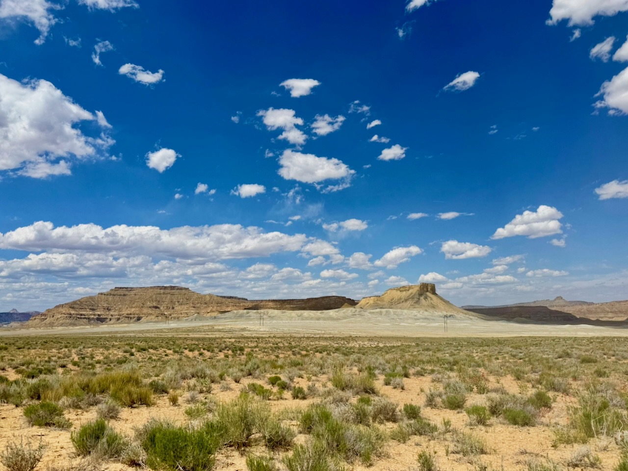
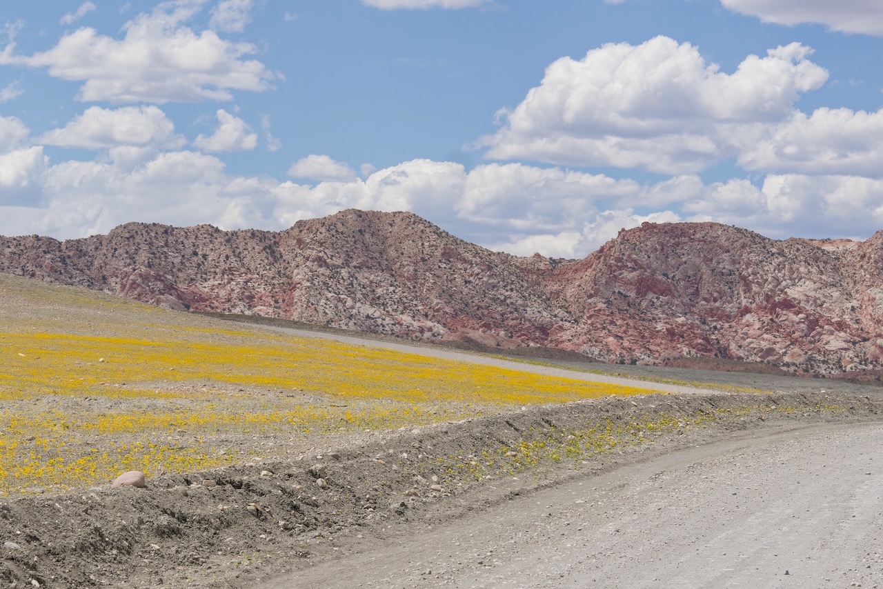
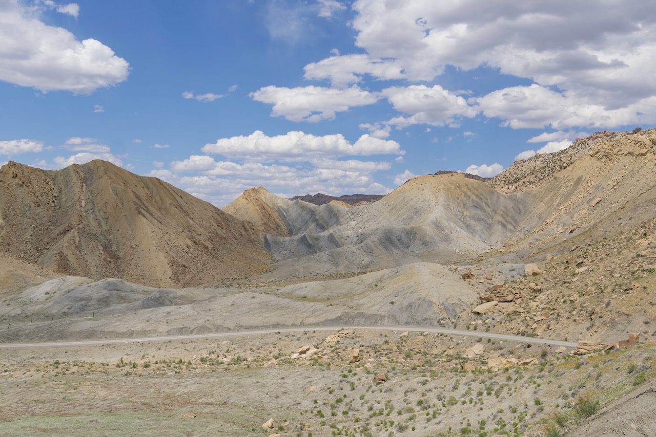
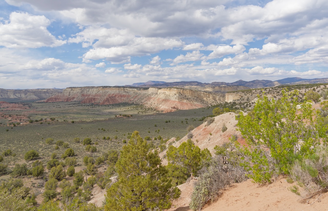
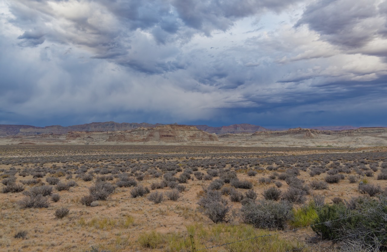
Now we start to see the geological changes in just this short 46 miles.
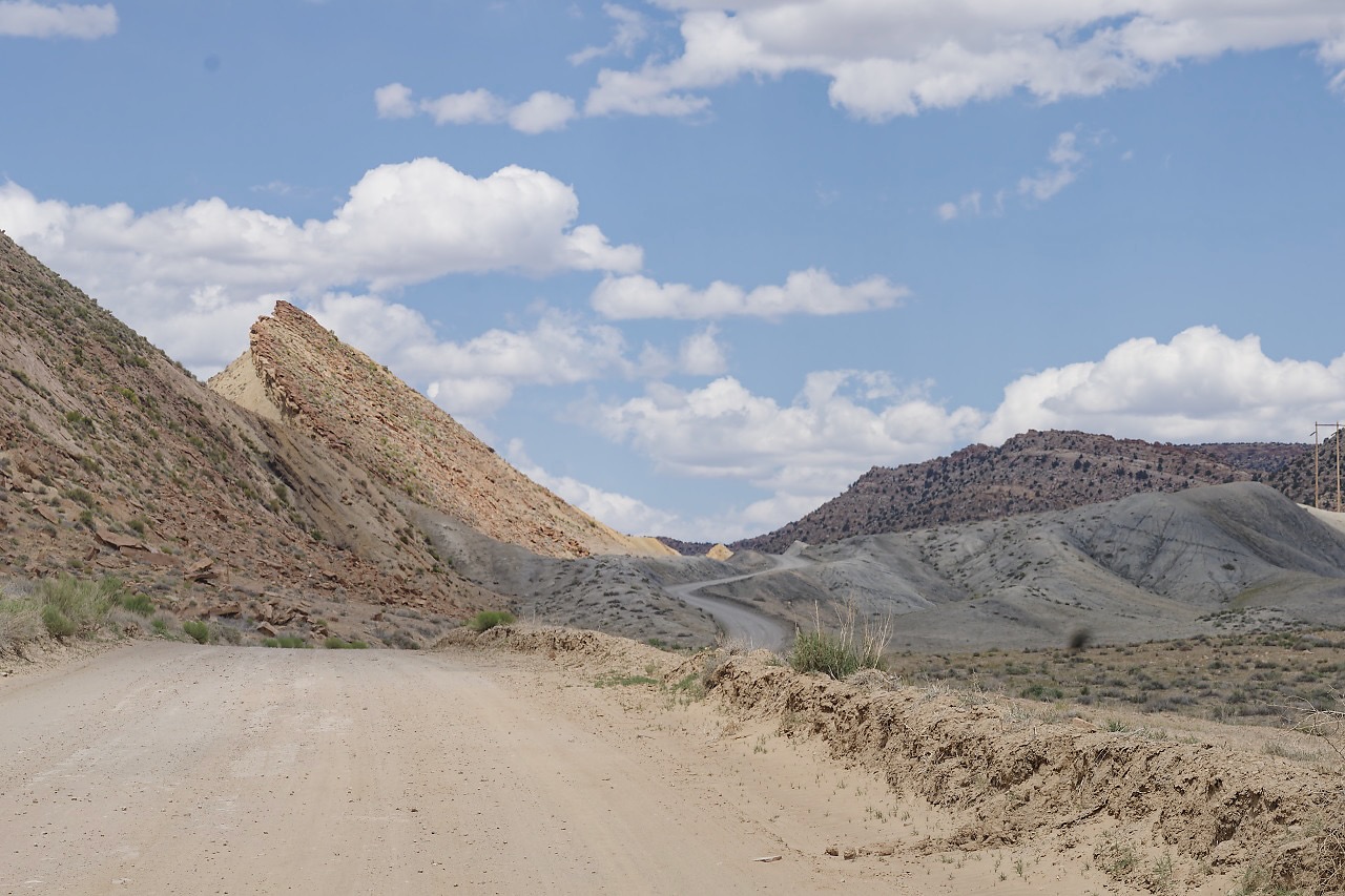
By this point it looked as if we’ve landed on another planet. Yes that’s Earth’s crust at about a 45 degree angle.
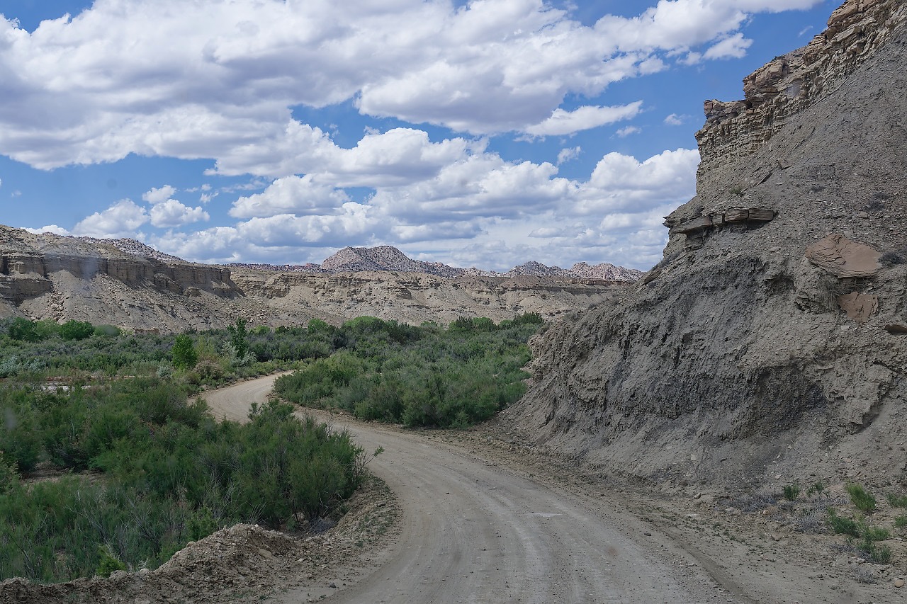
This is BLM land so you can camp here. We followed many tiny spurs, most were vacant. This was in the middle of an oasis, since it was along the Cottonwood Canyon Creek.
That’s our road down there. We’re surprised we don’t have a photo of the steep section, but it was just like off roading in the Jeep, you just saw sky above the hood. You know there is a road there, but you just can’t see it until you’re at the top. We approach these situations carefully because you can’t see where the road is going!
This is a spur off of a spur. There is a campsite with fire ring behind those trees. Clifford would not fit. :- )
And yes, this is open range.
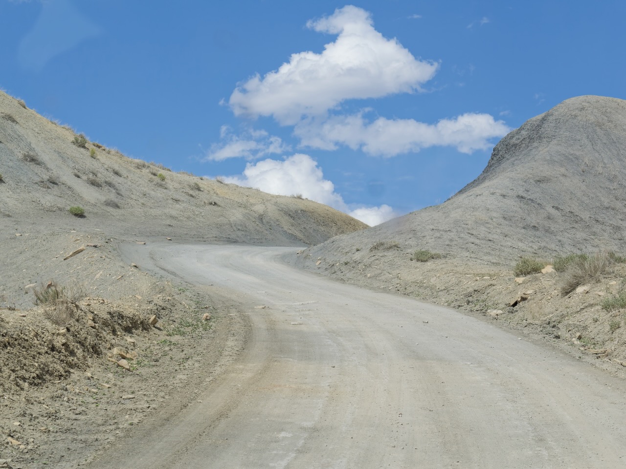
More otherworldly roads.
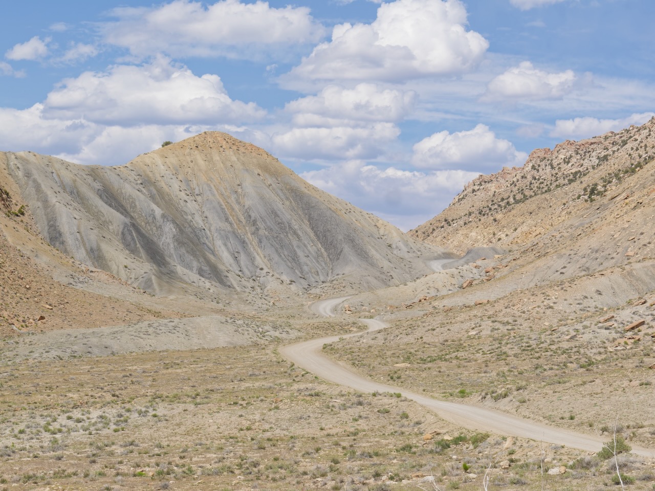
Remember, this road is only 46 miles long and we aren’t even half done at this point.
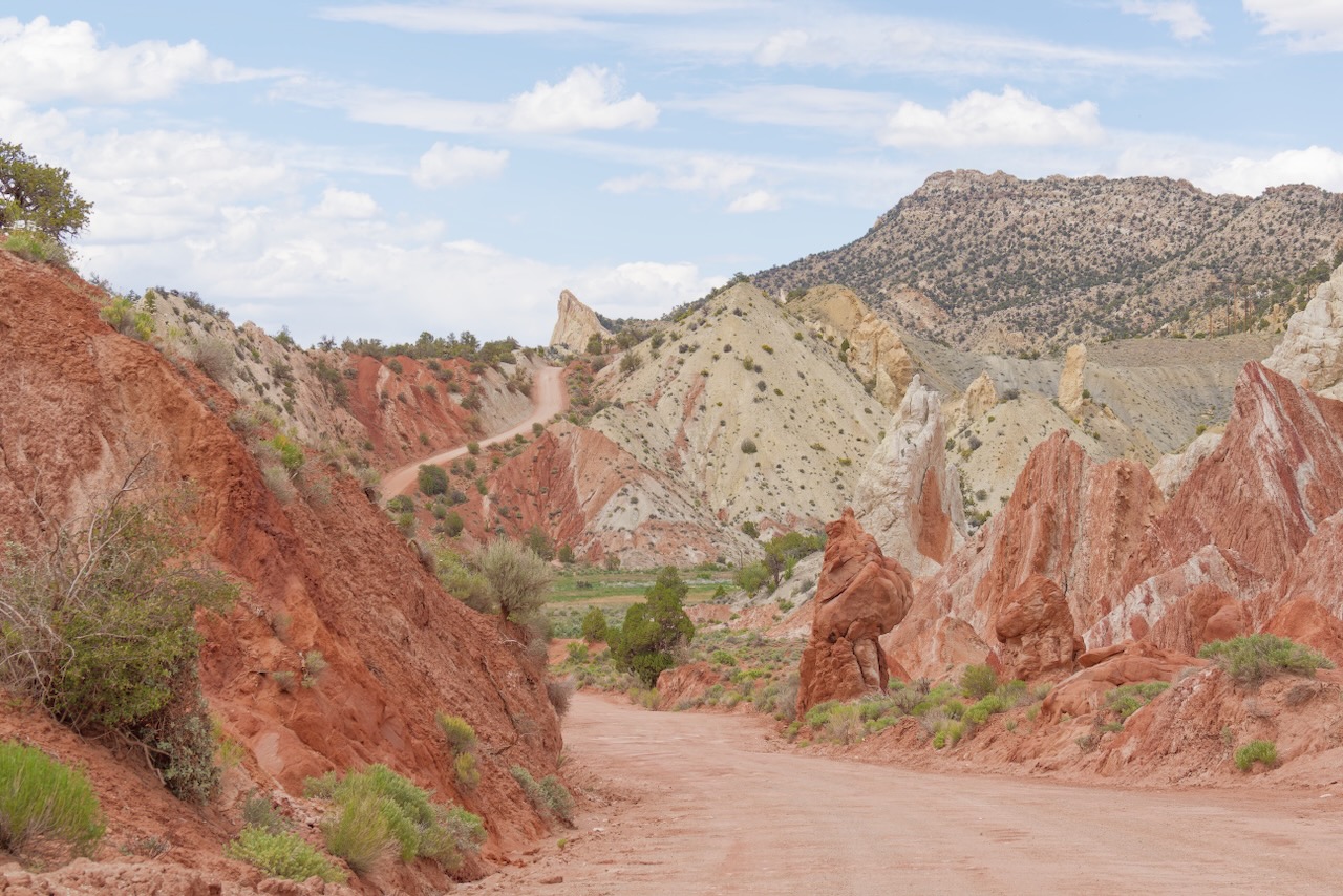
We came around the bend and gasped. This happens a lot out here, but the geology just changed and it was magical.
This is the exit to Cottonwood Canyon, if we had planned better we could have parked the car at one end, walked the 2 miles of the canyon, and then hiked back on the road. People were doing that. It is almost a private, and free, slot canyon tour.
By this time were were beat. Huh? We’ve been sitting in an air-conditioned Jeep. How hard can that be? It was be very hard because the road was deteriorating more and more. Those of you who live in rural areas know what washboard roads are. This is a common problem with dirt roads, they develop small ridges, these make the vehicles bounce, which, creates deeper ridges. This road was nasty in places. We could only maintain about 15-20mph tops or we’d be shaken off the road.
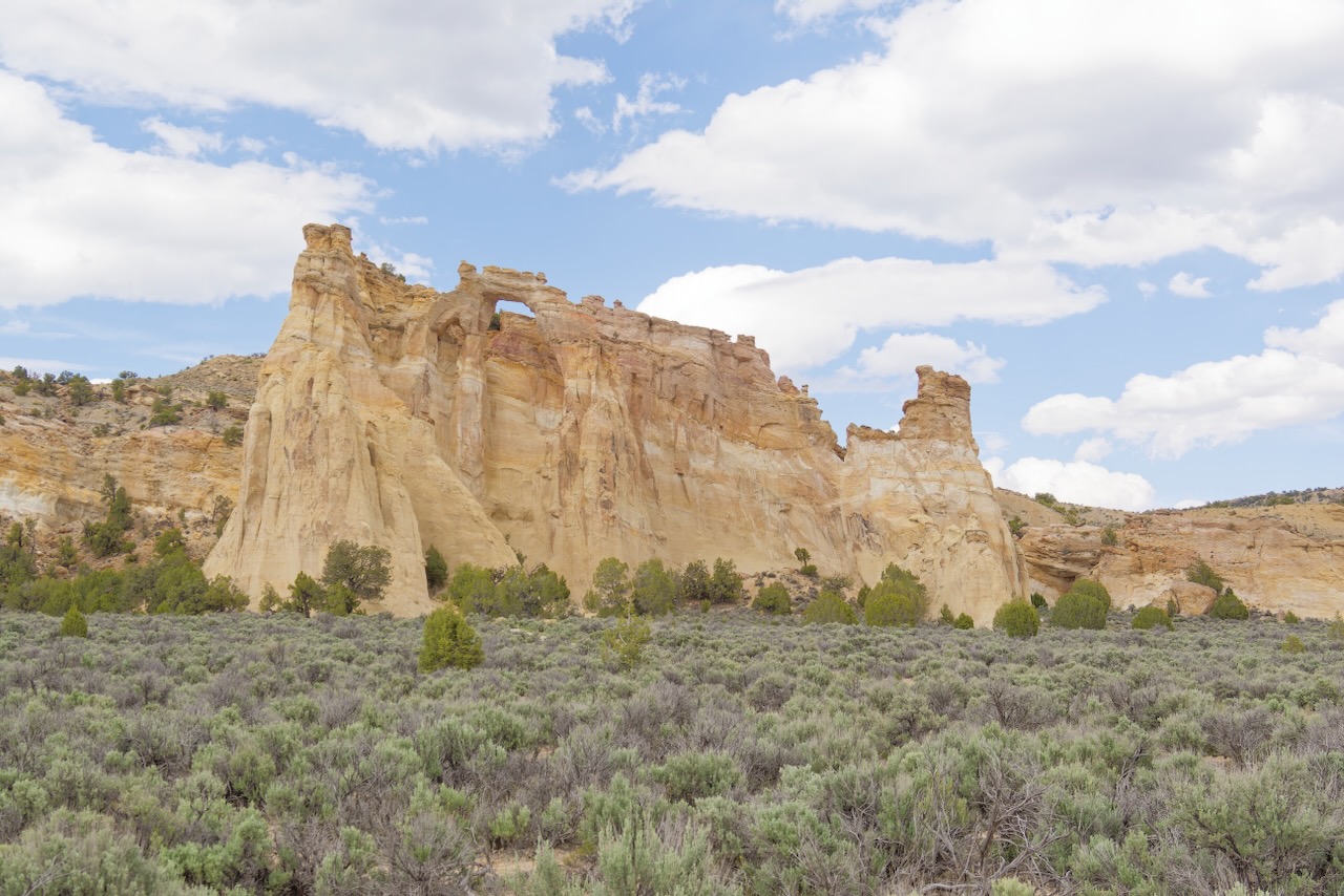
We came to a side road, the last “attraction” on the Cottonwood Canyon Road, Grosvenor Arch. We were so tired we just looked at it from the parking lot. We did kind of miss out on a big deal, it is a double arch, you can see both in the photo, but barely. The second arch is to the left of the visible arch.
Another super scenic pull off. The neat thing here is that we are almost at the end of the lousy part of the road. Even better is there is a campsite at the bottom of this that would fit Clifford. Of course, if some one is there, we’re sort of out of luck. Kodachrome State Park is just north of here, we could stay there if there was space available. BTW, they wouldn’t let us drive through the campground just to look at the sites without paying the day use fee. Boo!
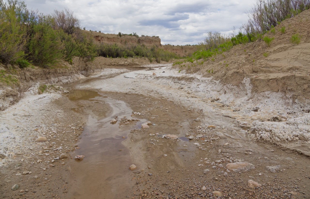
To get to that site we’d have to drive through this wash. It would not be passable after a big rain.
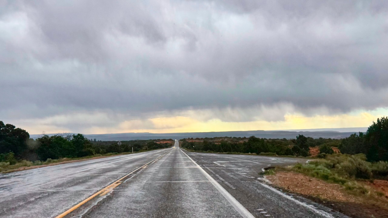
Pavement! And more cows.
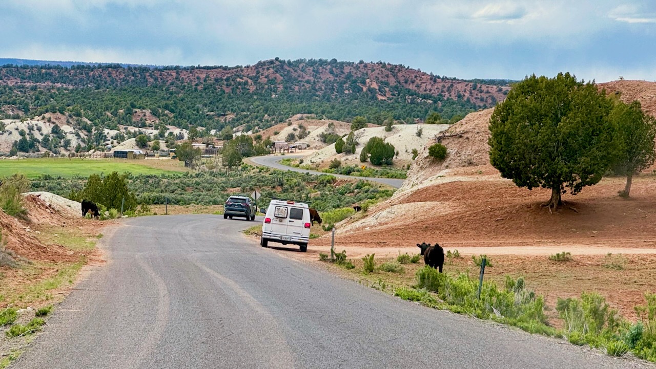
We could have turned around to gone back because it is only 46 miles. But it’s 46 miles of washboard and neither of us wanted a repeat of that drive. Plus it was clear there was a storm coming and the signs at the entrance warned us that the dirt was clay and the roads were impassable, even to 4WD, when a good storm came through.
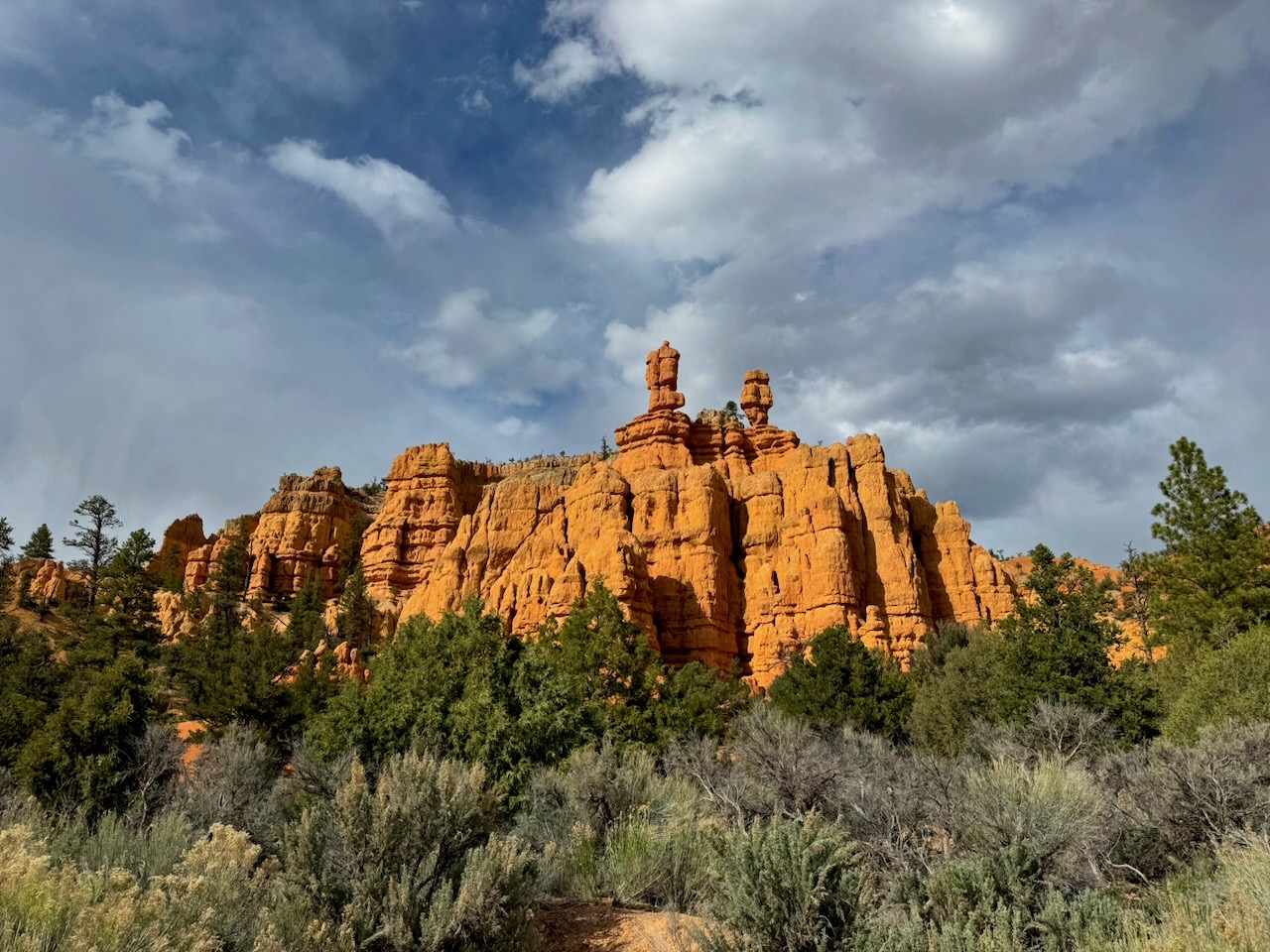
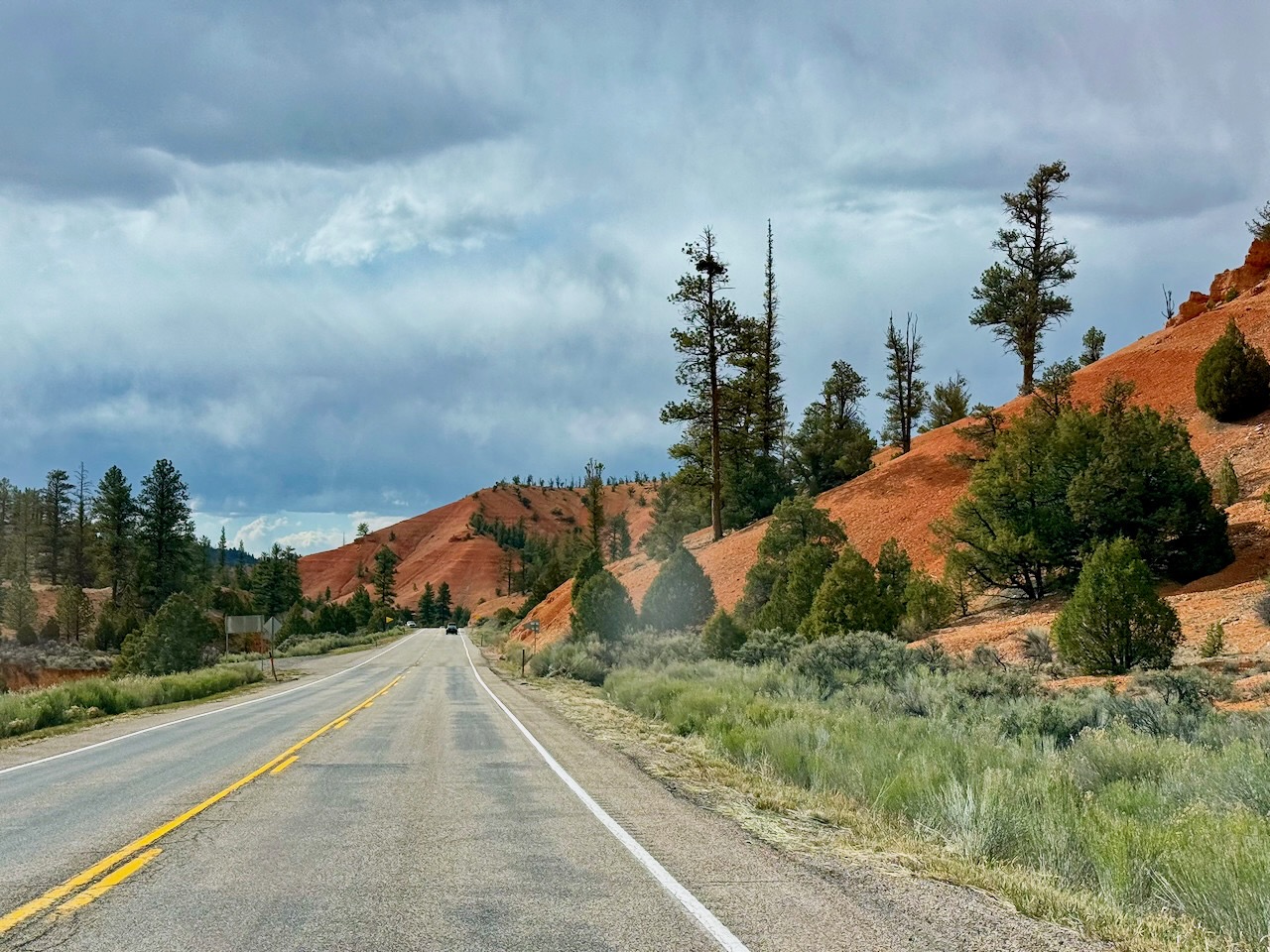
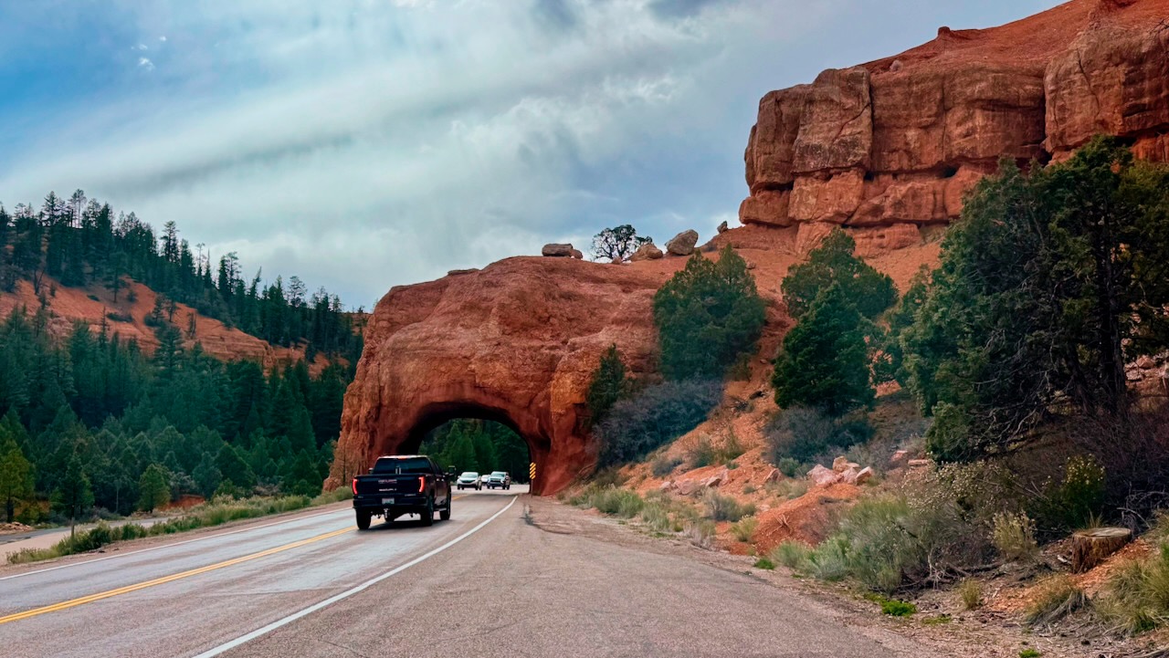
So we chose to drive pavement back to the RV, west through Bryce and then down towards Zion! They look like awesome places and we’ll be back.
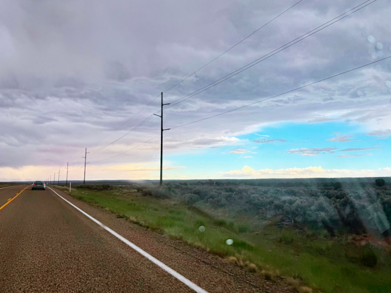
Did I mention a storm? Yeah, a big one was coming.
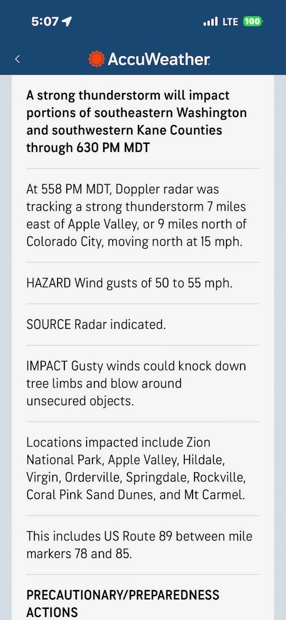
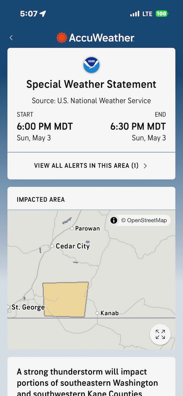
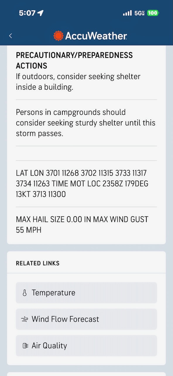
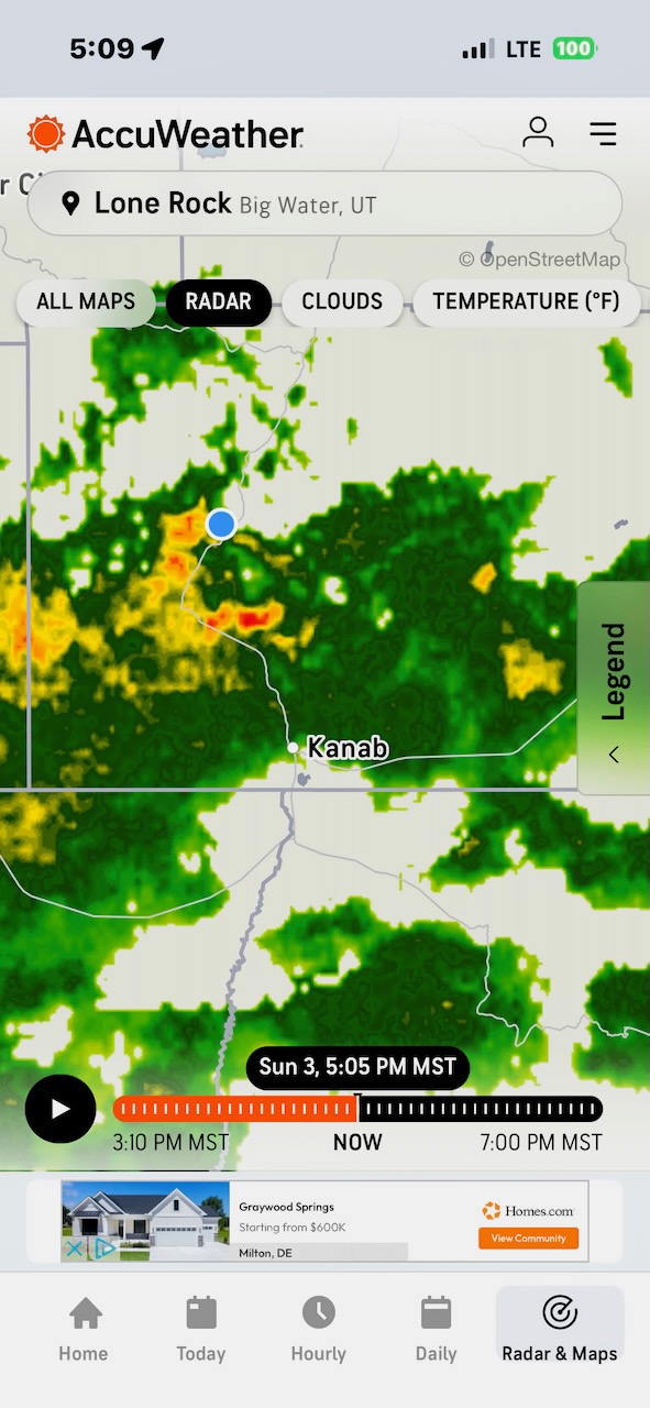
We could see it coming. Soon it hit us and the wipers were on full blast and it was still hard to see.
We were worried about Lone Rock, but it looked like it would miss us by a hair. And sure enough, soon we were out of the storm.
Home!