Bees on a Tree
April 24, 2026 — Day 31
Grand Canyon RV Park, Cameron, AZ
Aside from doing huge amounts of laundry? We took our single day, because 2 sleeps gets you 1 fun day, to explore Wupatki National Monument and the adjoining Sunset Crater National Monument. Lots of pictures today.
Nestled between the Painted Desert and ponderosa highlands of northern Arizona, Wupatki National Monument is an unlikely landscape for a thriving community. The early 1100’s marked a time of cooler and wetter weather, when the ancestors of contemporary Pueblo communities created a bustling center of trade and culture. For indigenous peoples, these sites represent the footprints of their ancestors. — Footprints of the Past
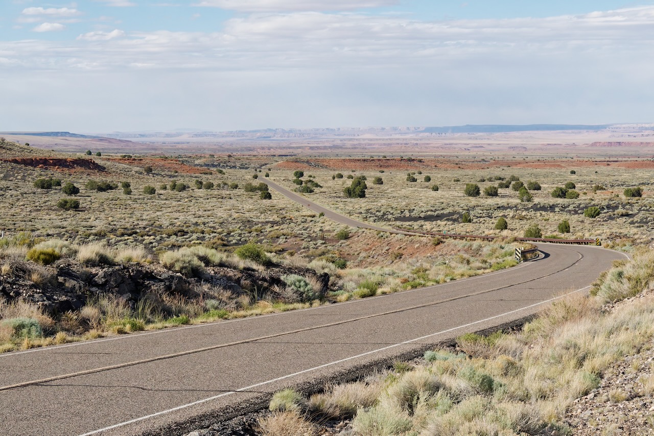
You tour the National Monument by way of a scenic drive with several spur roads where you can visit the pueblos. The hikes to the pueblos are fairly short. The first set had some smaller pueblo ruins.
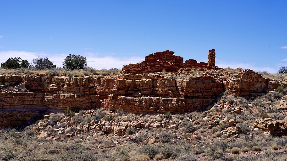
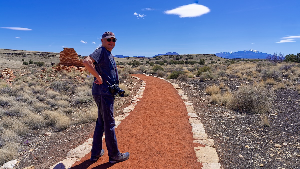
As you can see, the paths are very well maintained. This was true of the pueblos we visited. The first one was still under construction, you could see the old paths, they were pretty rough. (susan here: the paths not the pueblos!)
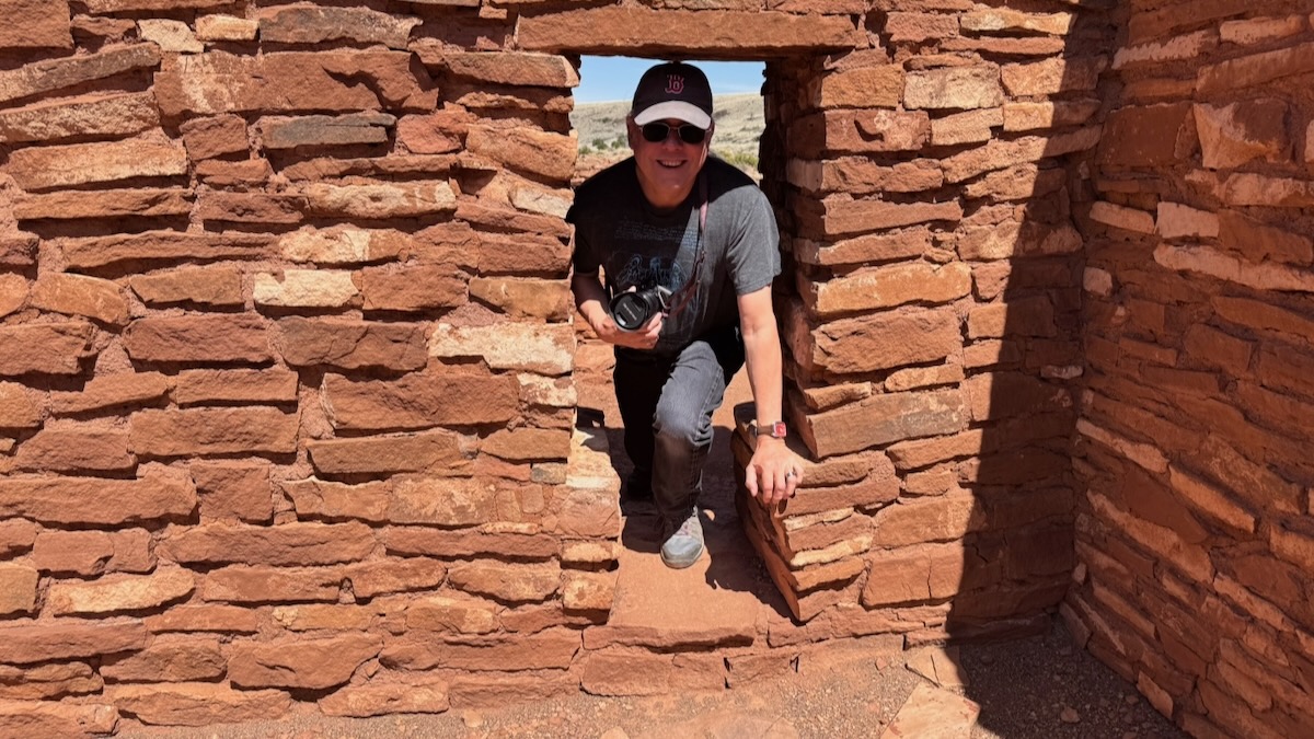
Now we’re onto the second building.
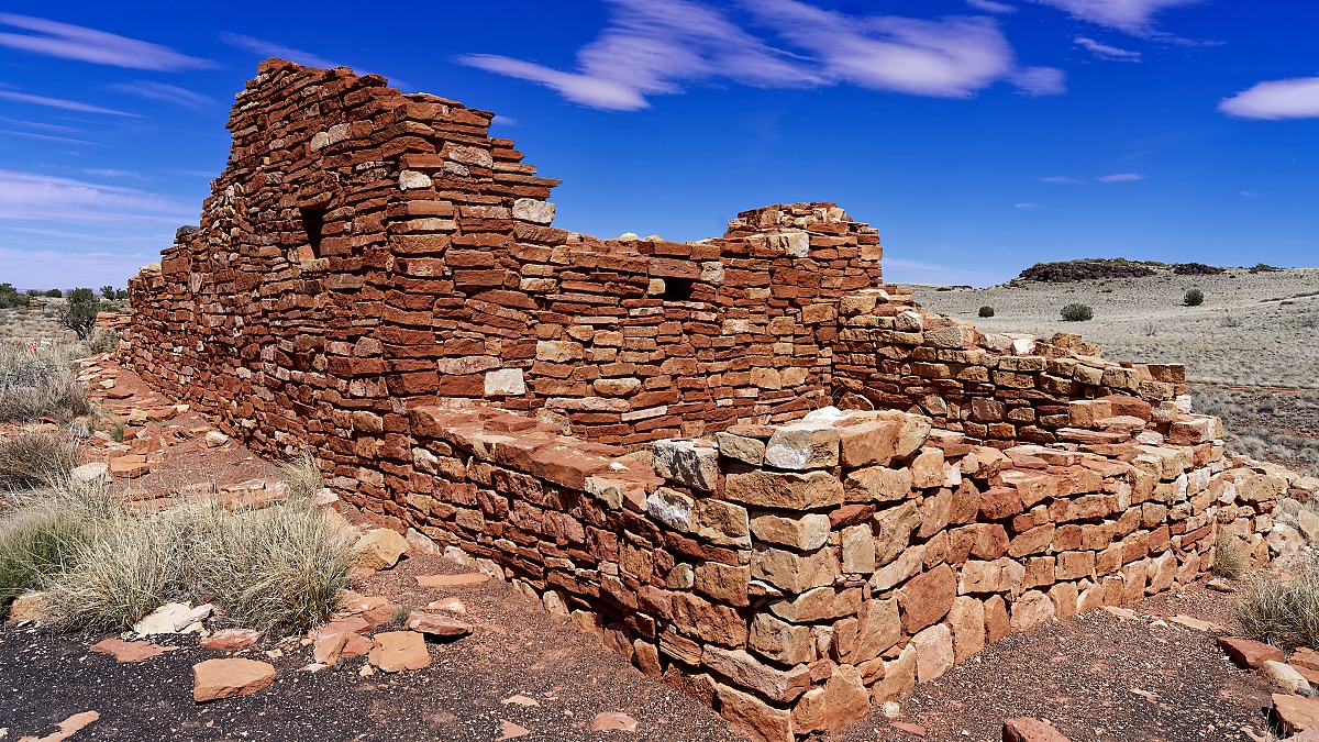
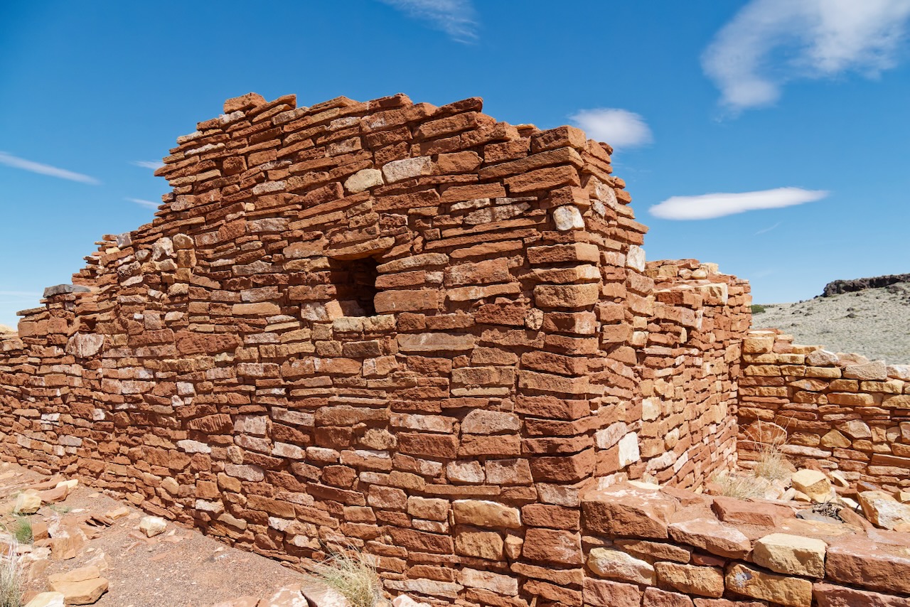
Wow, some of these doors are quite short!
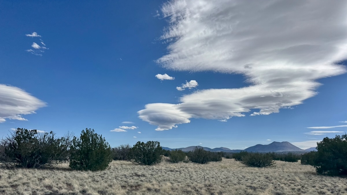
There were lenticular clouds. They look like spaceships!
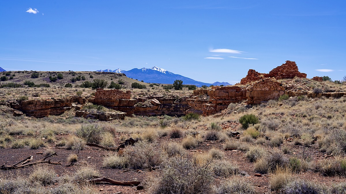
At this point we arrived the Visitor’s Center. There were two huge tour buses there. We chatted with the ranger for awhile about the site. There are 104 rooms and between 85-100 people lived there, but thousands lived within a days walk. This really was a gathering place. There’s a ton of information on the NPS web site referenced above.
But the trail was jammed with school kids. There was no way this was going to be the quiet, examining walk to the pueblos that we wanted. So we left and headed down to Sunset Crater National Monument. It wasn’t extra driving because we were going to go there anyway. We could return via the visitors center or route 90. So we figured we hit it on the way back, late in the day when the crowds had hopefully dissipated.
The lava flow lies on the land like a dream, a wonderland of rock. A thousand years ago the ground was torn open and lava erupted into the sky, forever changing the landscape and the lives of the people who lived here. A thousand years later, trees and flowers grow among the rocks, and people visit the lava flow to see and remember the most recent volcanic eruption in Arizona. — The Destruction and Rebirth of a Landscape
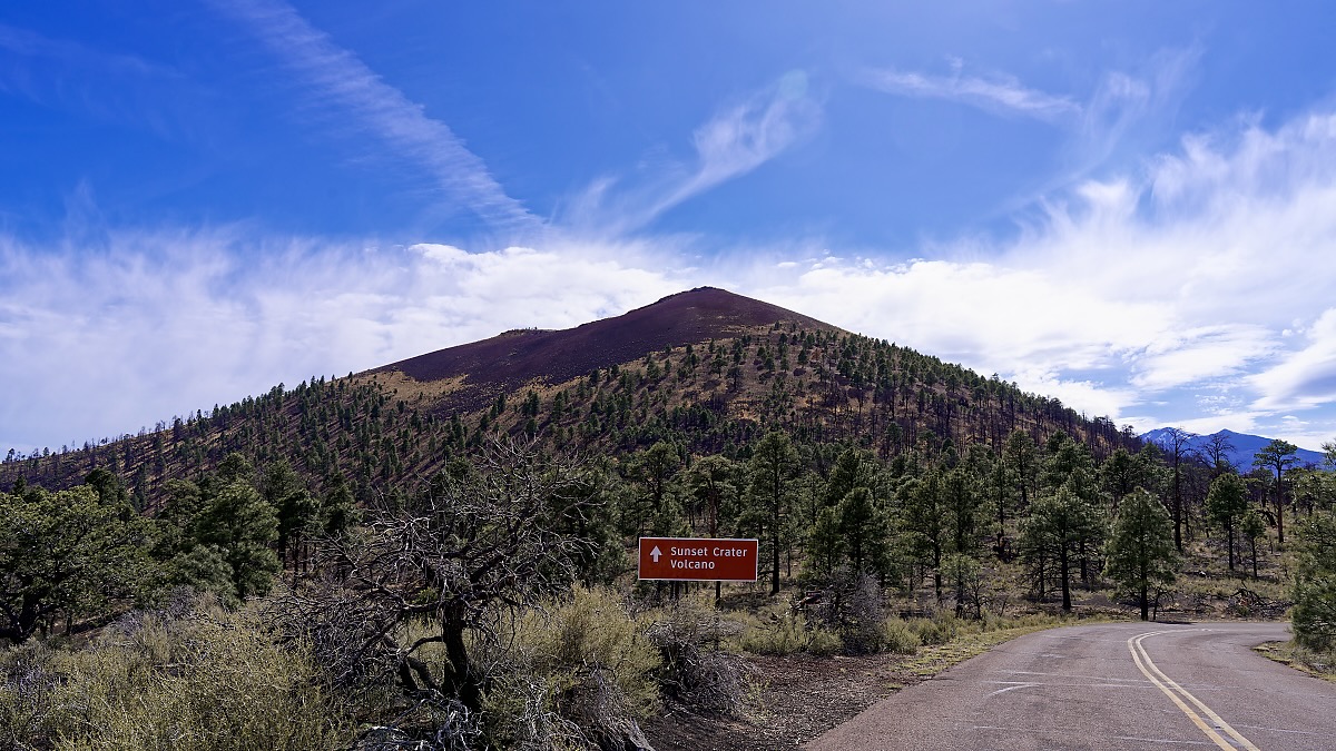
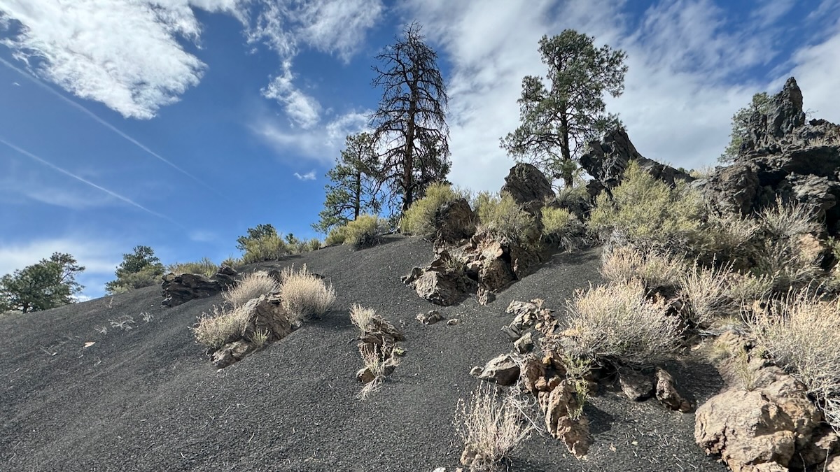
This is a recent volcano. It erupted about a 100 years before the Wupatki settled in the pueblos. It also isn’t the only one, there are about 600 volcanoes in the area. Sadly the area was hit by a huge fire that burned much of the park a few years ago. Nobody was hurt and all guests and staff were evacuated safely.
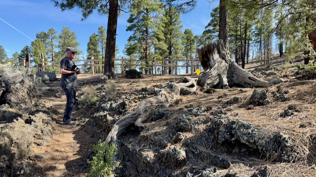
Time for a short hike!
The trail started out on volcanic sand but quickly turned into lava rocks. Footing was tricky in places.
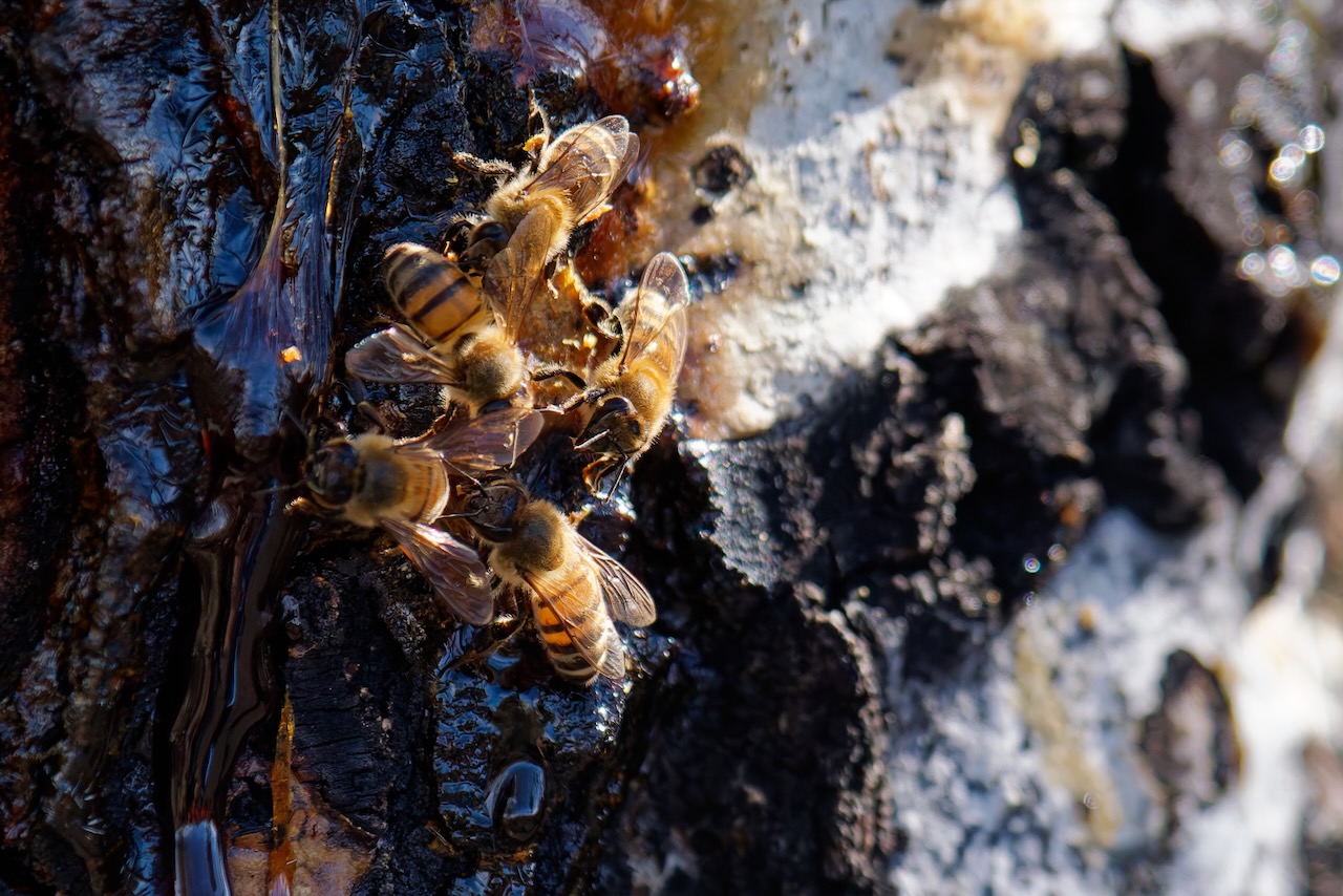
See that burnt tree near the center of the photo? It is still alive!
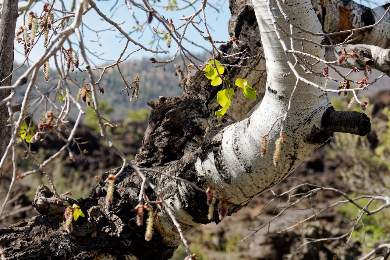
It is so wounded that sap is flowing out a gash, and bees are harvesting it!
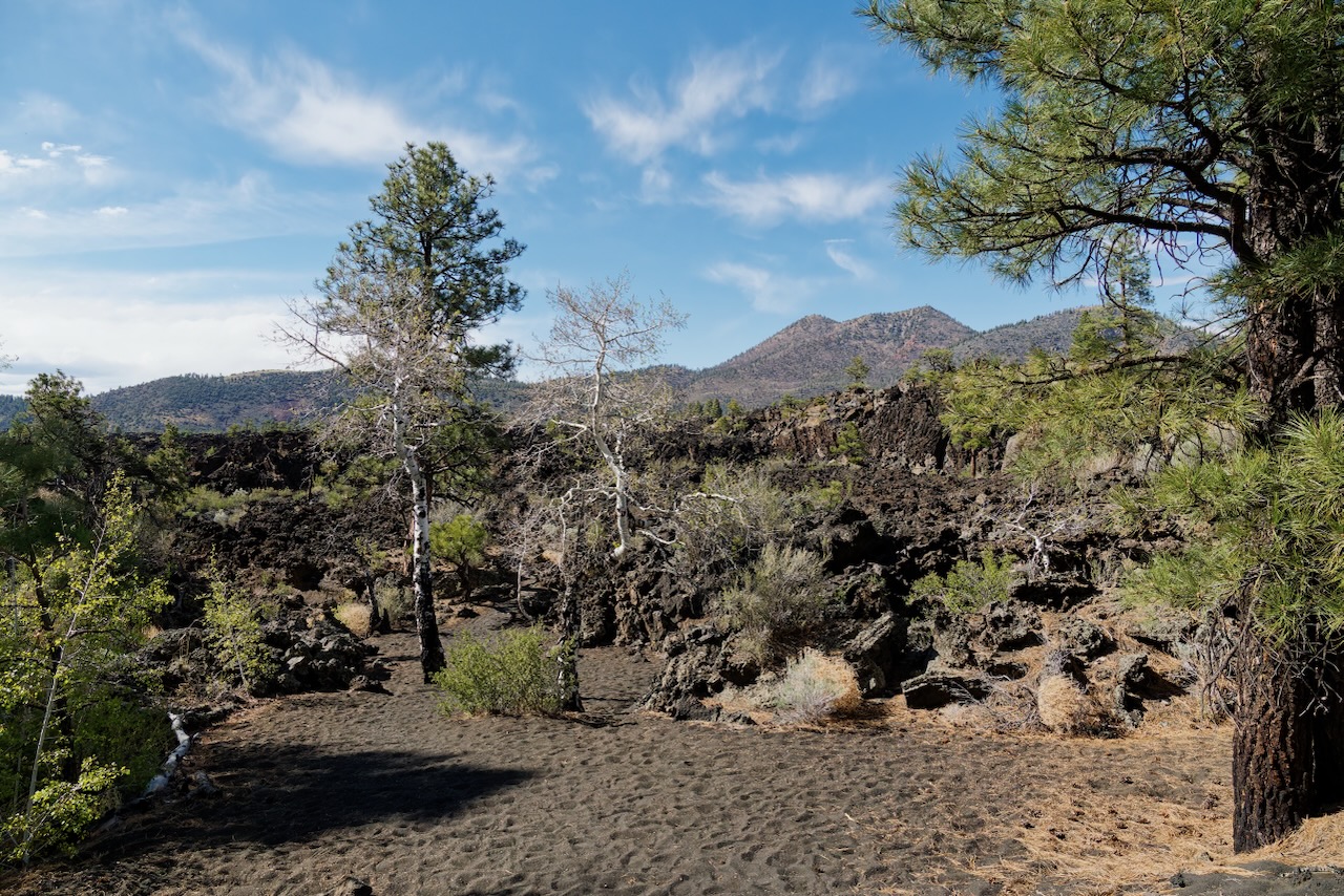
On the trail.
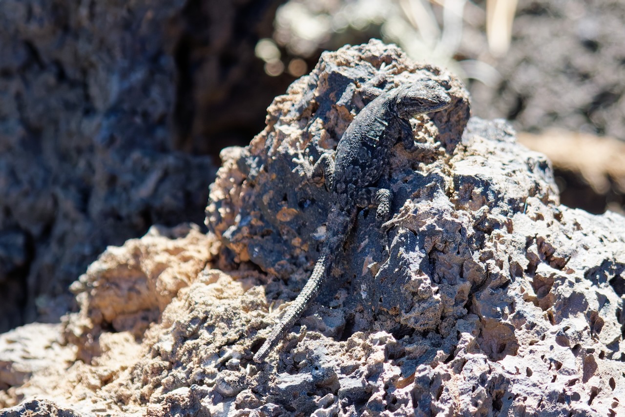
We found a black lizard, never seen one of those. Do they change color to match the ground?
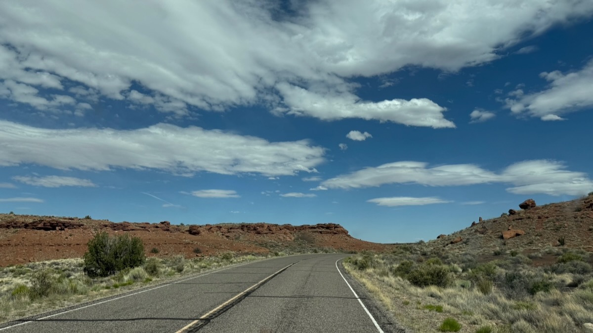
Sometimes you go around the bend or over a hill and the view takes your breath away. Camera’s are bad at catching that. (susan here: but we’re still going to show you the vistas because that’s what we do.)
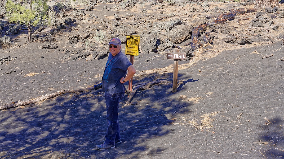
We made it to the Volcano Visitor Center, got our stamp and headed back to the pueblo, hoping the kids crowds were gone.
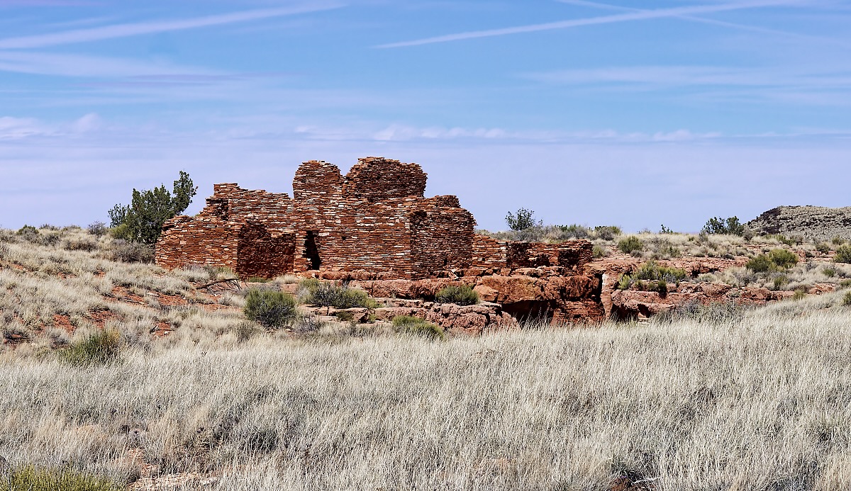
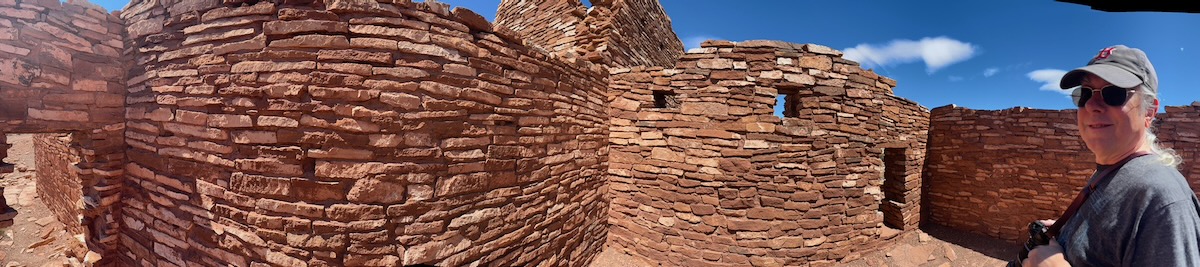
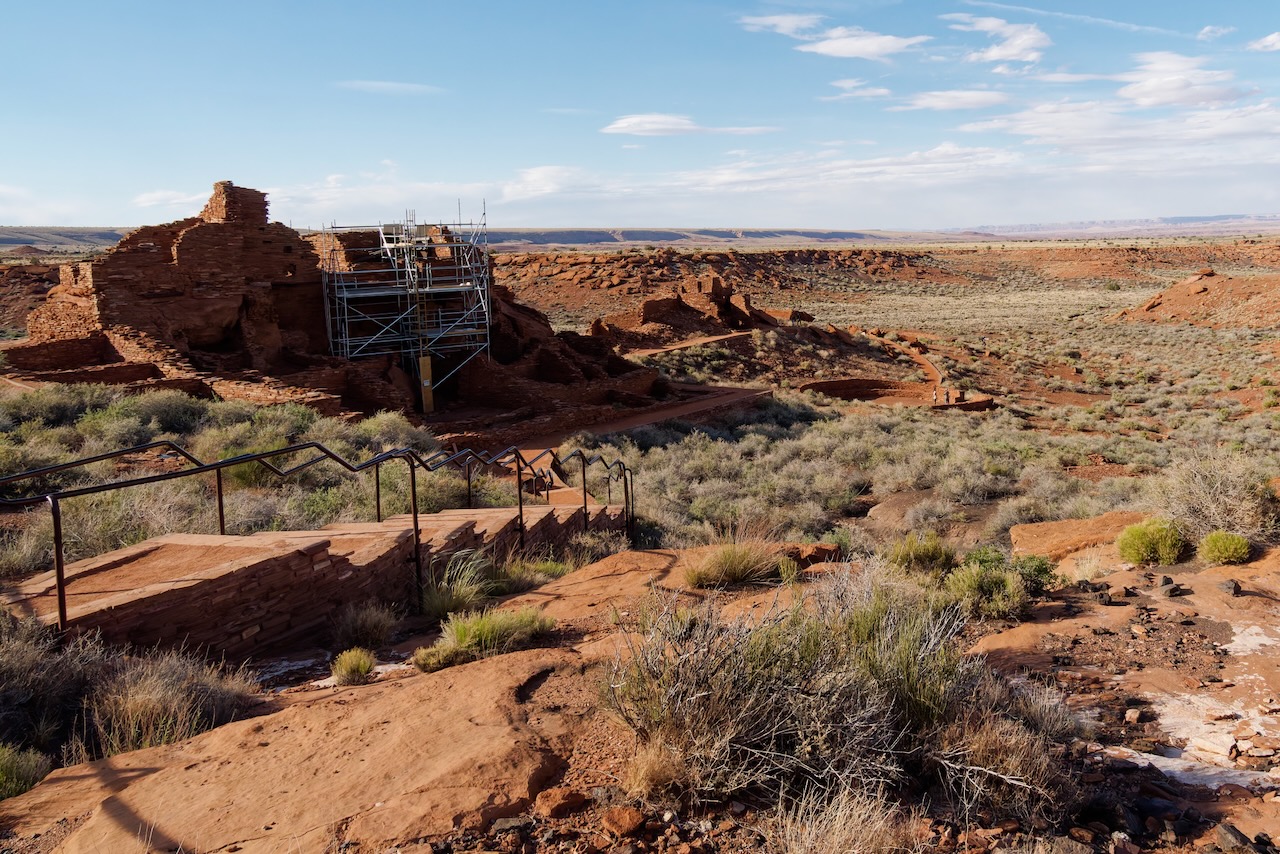
This is the big one, the 104 room one.
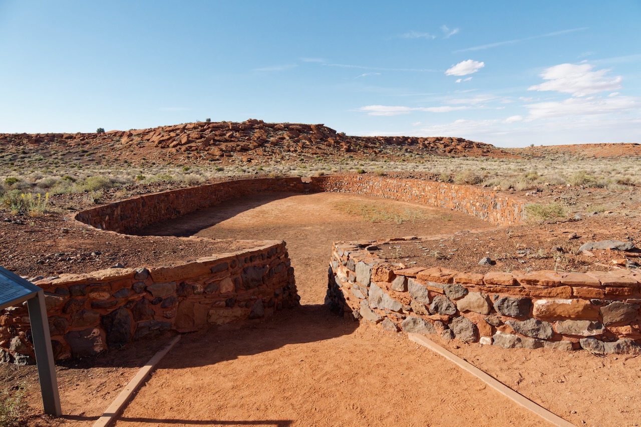
Here’s the ball court. It has been partially restored. The NPS talks about restoration vs stabilization. Back in the 30’s the consensus was to rebuild them. The very first park ranger, and his wife, lived in one!
There are blow holes scattered about the two monuments, this pueblo had one. It was currently blowing with enough force to flip my Red Sox cap!
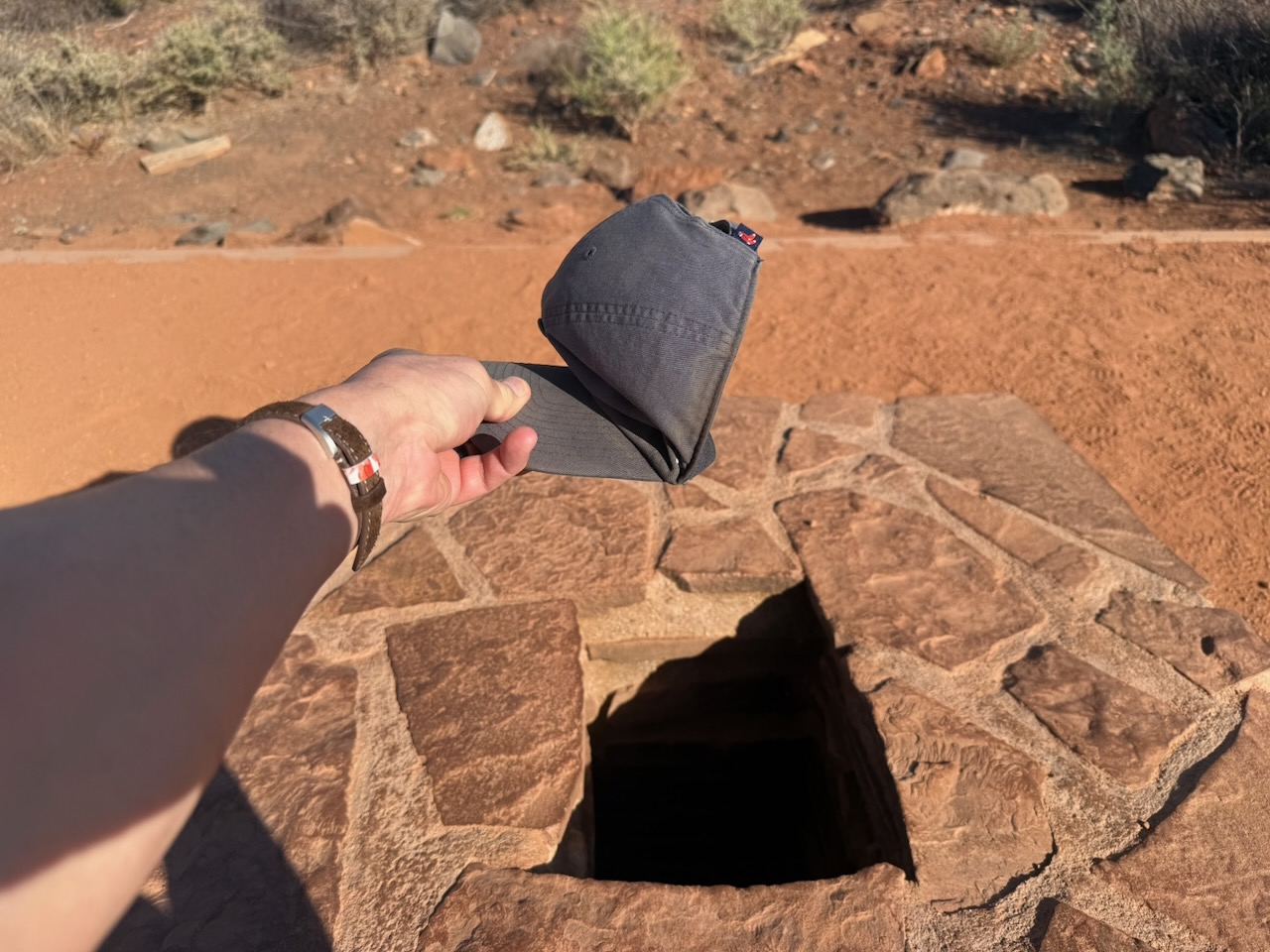
This small opening, or blowhole, leads to miles of underground earthcracks. Groundwater has slowly dissolved limestone, creating long and narrow interconnected caverns and tunnels. Two blowholes within this system connect across 24 miles!
The direction of air currents from the blowhole is tied to regional weather. Complex interactions of air temperature and pressure, and how they differ above and below the ground, make it difficult to predict air current direction at any specific time.
Archeologists are unsure if this blowhole was active in the 1200s. It was first documented in the 1950s and is part of an ever changing system.
Blowholes are spiritually significant to many indigenous people and are known by different names.
HOPI
“wind’s home”
Huukyangwuy Kilat
ZUNI
“Mother Earth’s breath is felt”
Awidehin T’sid’ane
Yanak’inanne
NAVAJO
“wind home”
Nitch lbi ghan
SOUTHERN PAIUTE
“house of wind”
Hurrikanni
Air flows into the blowhole when
- underground air pressure is lower than high pressure weather systems
- surface air is cooler and denser, or heavier, than underground air
Air flows out of the blowhole when
- underground air pressure is higher than low pressure weather systems
- surface air is warmer and less dense, or lighter, than underground air
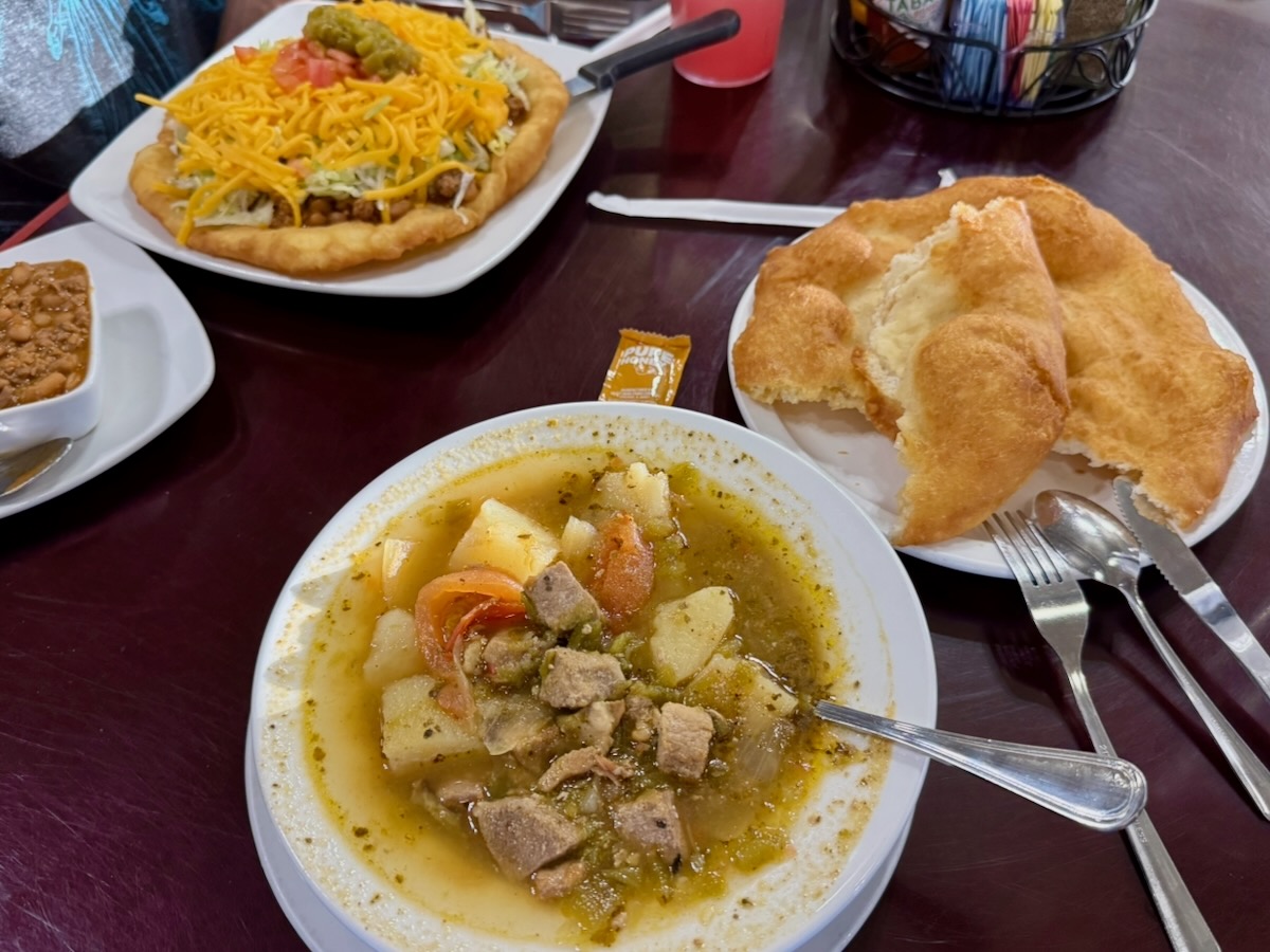
Back at the RV we had a wonderful dinner at the historic Cameron Trading Post. Of course Paul had a Navaho Taco, Navajo Chili and lemonade with prickly pear syrup. All was wonderful. Susan had green chile stew, which is a combo of pork, potatoes, tomatoes onions and green chiles. She reports that it was quite tasty and made even better than Paul’s Navajo Taco!