We Think They Did It Anyway
May 23, 2026 — Day 60
Sun Outdoors Canyonlands, Moab UT
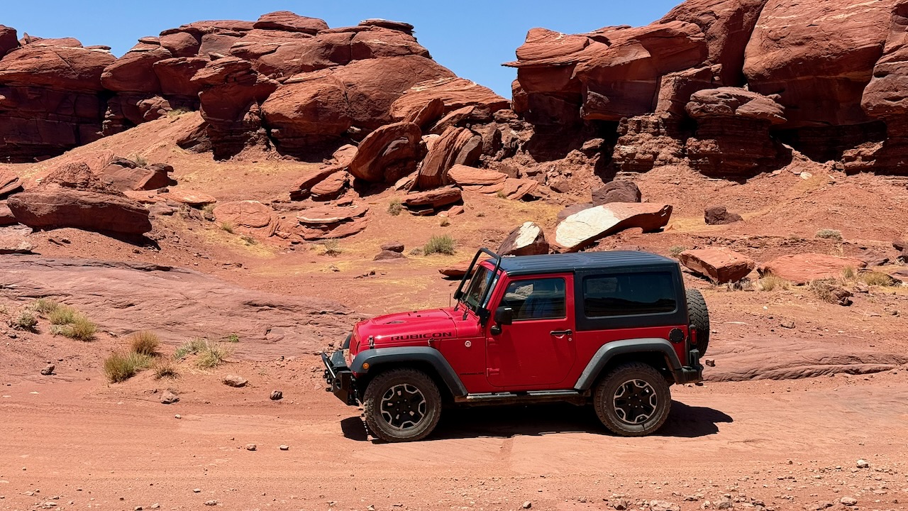
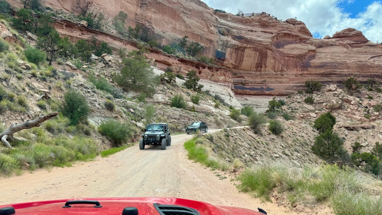
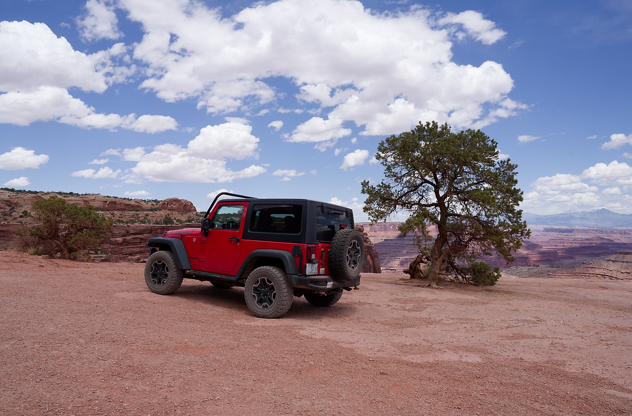
We set out to drive the Potash Road once again. We learned from our mistake and this time we had a full tank of gas! We’ll skip over the parts you’ve already seen. In case you’re wondering, we didn’t try the climb for the dinosaur tracks again!
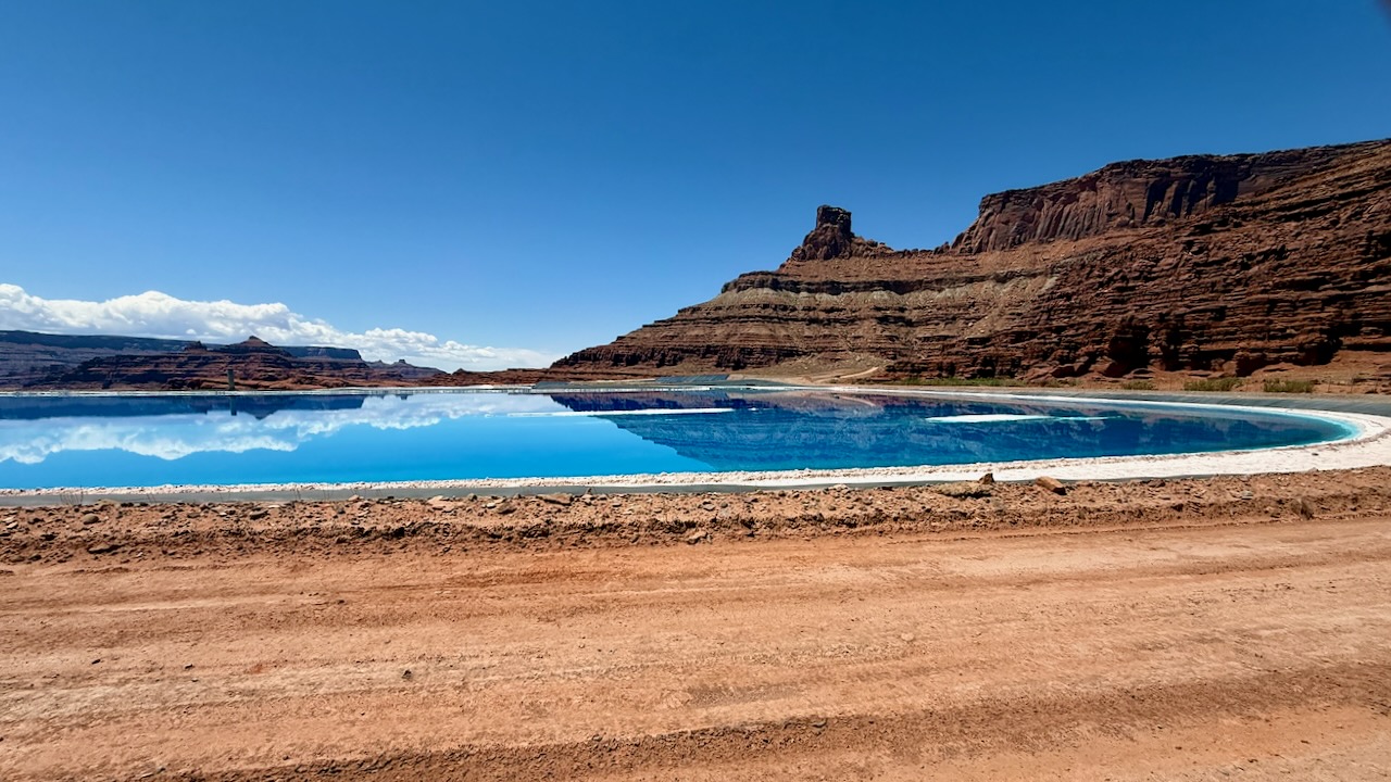
Last time we were here at this spot we turned around. We could see the leak in the potash pond far off in the distance. We wanted a closer look but we turned around. It was a good lunch spot that day. Today we just pressed on.
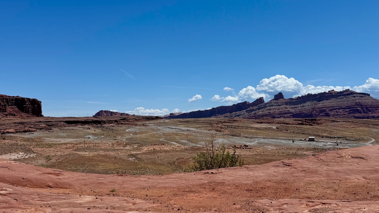
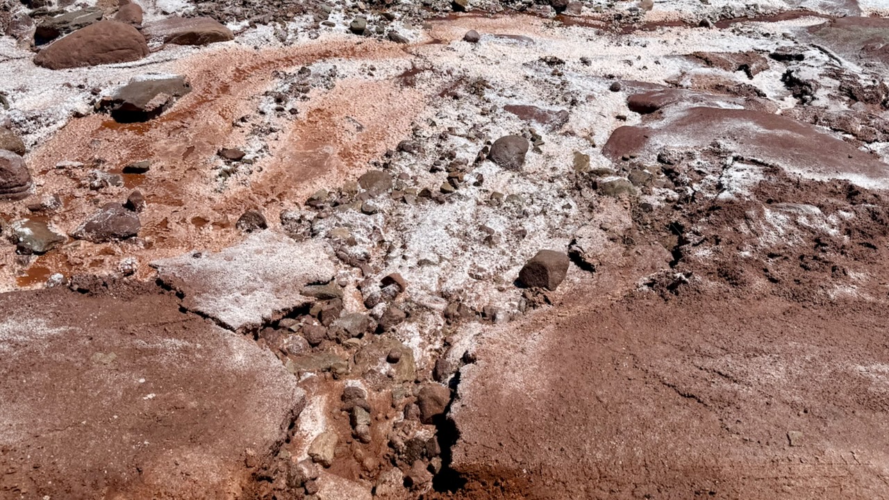
Potash is a mineral that they mine in this area. Here we can see some of it leaking from the potash pond. It was quite striking. We were on a public road and wanted to get closer but signs warned us that we’d be trespassing if we left the road so we didn’t go.
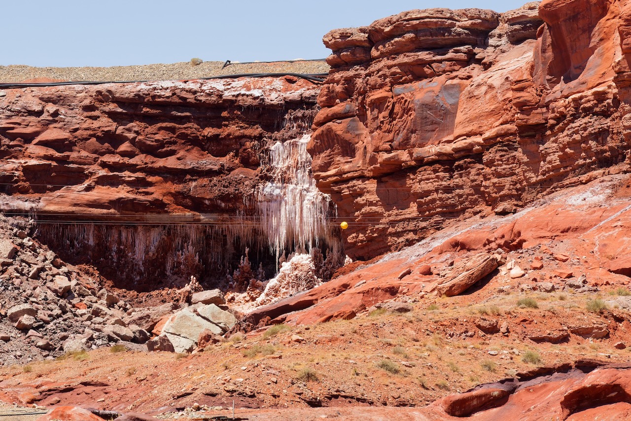
You can see how far we were.
The colors were just that vivid, it was striking.
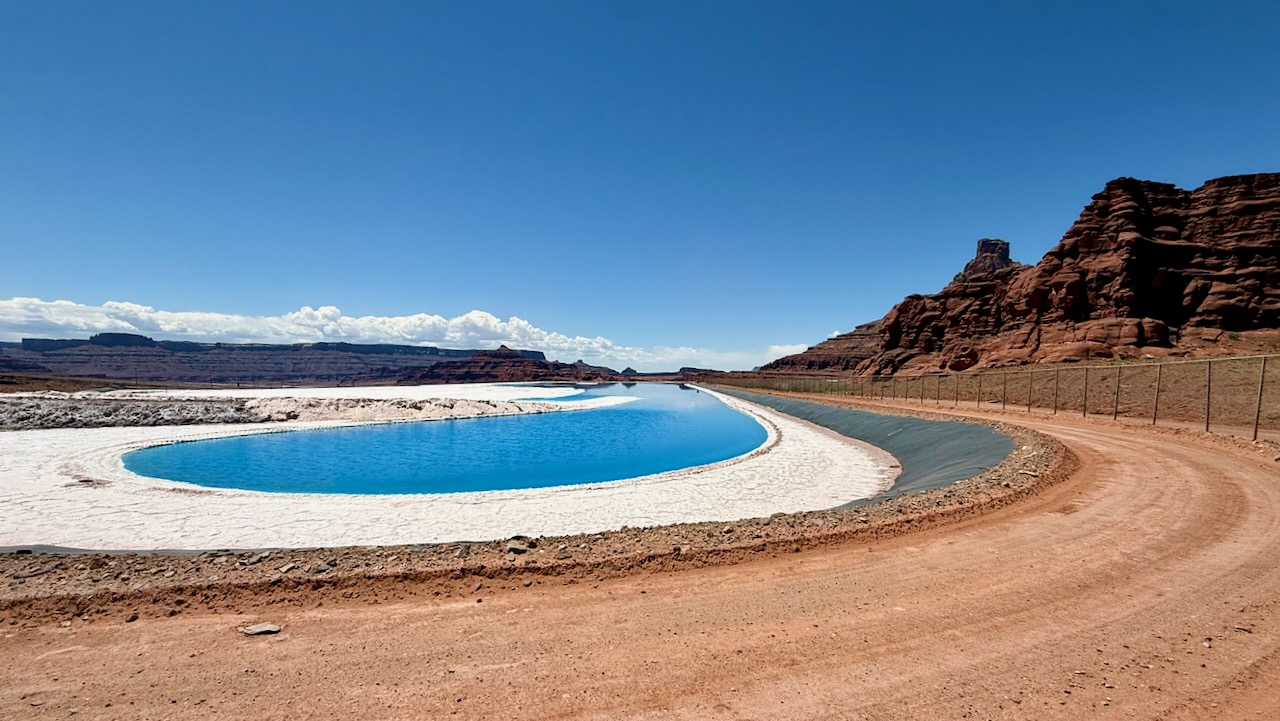
This intense blue shade seen in potash evaporation ponds is not natural but it’s the result of dye added during the mining process.
Mining companies add blue dye to the brine to absorb more sunlight, thereby increasing the rate of solar evaporation. The dye enhances the thermal absorption capacity of the water, allowing for faster potash crystallization in sunny climates.
Additionally, the bright blue color makes it easier for aerial surveys to track evaporation rates and manage pond productivity.
In essence, the blue isn’t a result of mineral content but rather an artificial additive designed to maximize mining efficiency.
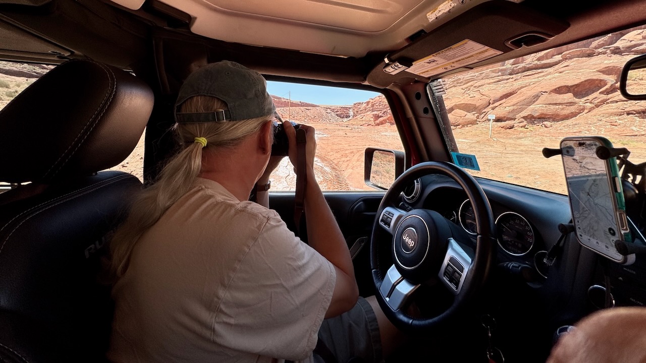
All the ponds were surround by chain link fences, but you could put your phone’s camera up to a hole and take lots of pictures, hoping some came out. (Potash Ponds Explained)
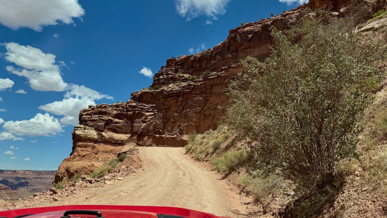
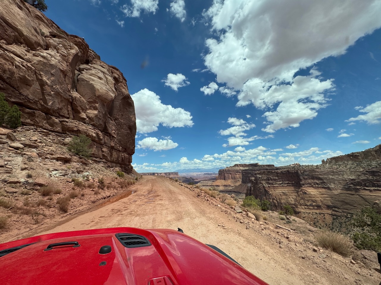
We gained some elevation up the road.
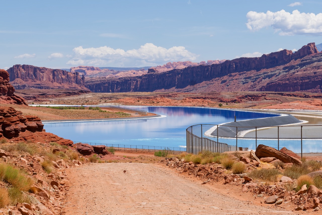
Yes, this is an industrial site.
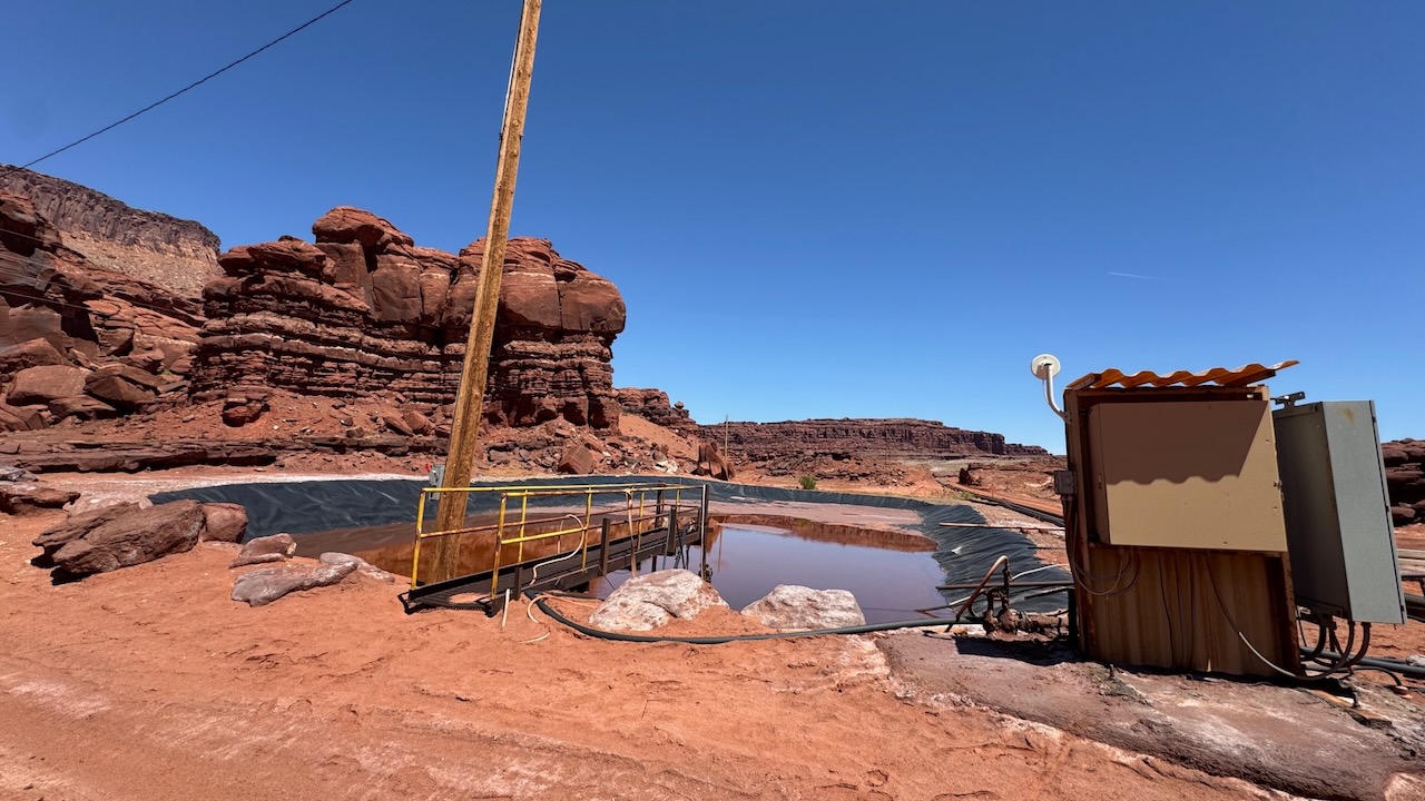
There’s a story here…
You could see crystals of the salt, sadly, it doesn’t come out in photos.
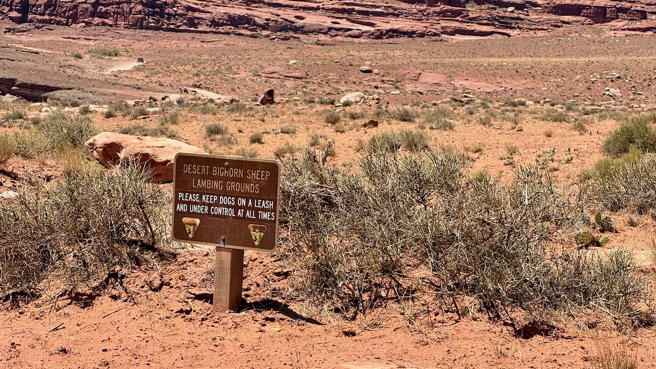
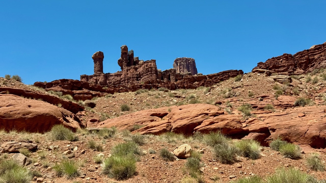
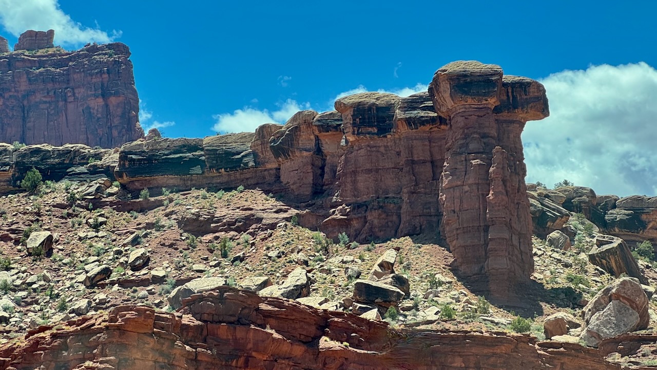
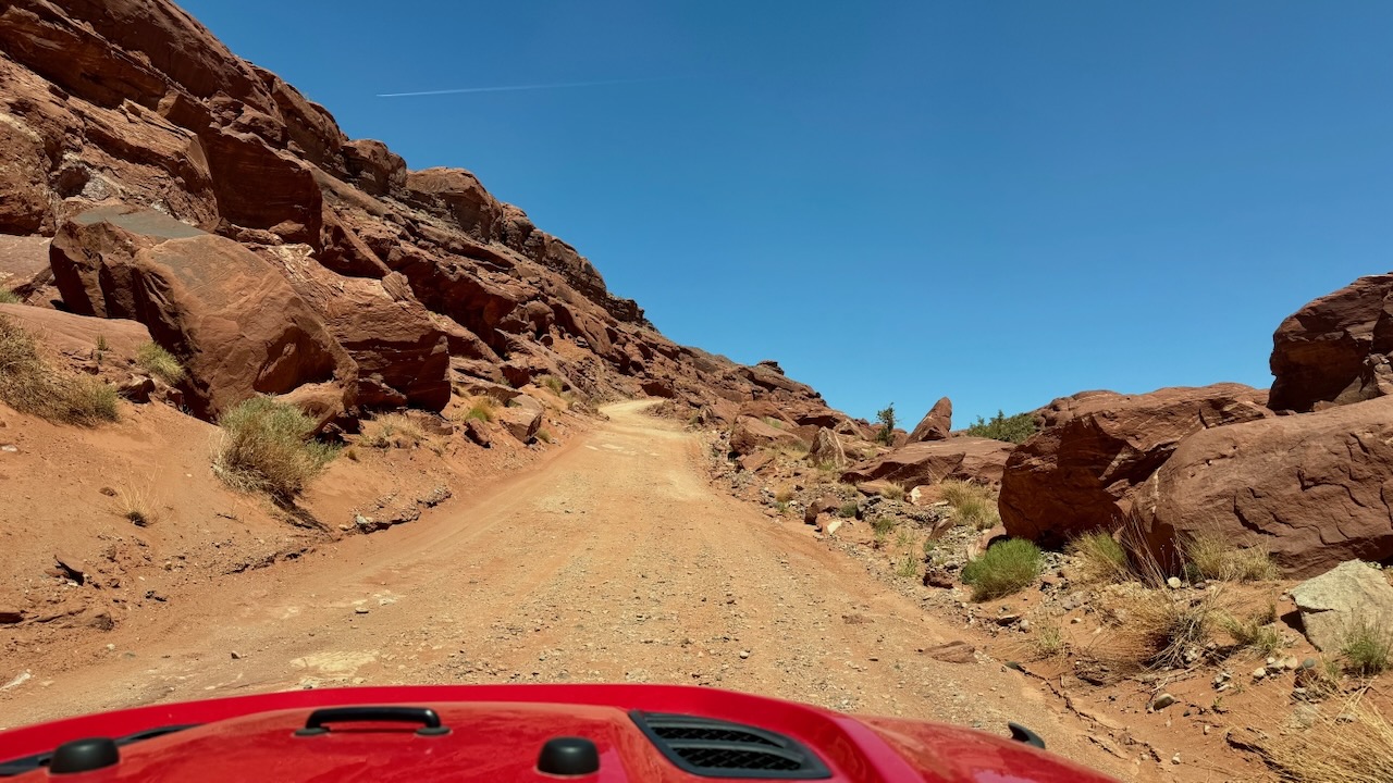
This is where we ate lunch this time. We were hoping to see Bighorn Sheep since this was a lambing grounds. Sadly, we didn’t see any Bighorn Sheep. There was a Jeep trail doing off into the mountains. Our maps showed some significant elevation changes so we skipped it. Sometime trails like that are better done is small groups just in case you get in trouble you’ve got people to help you get unstuck or a ride out.
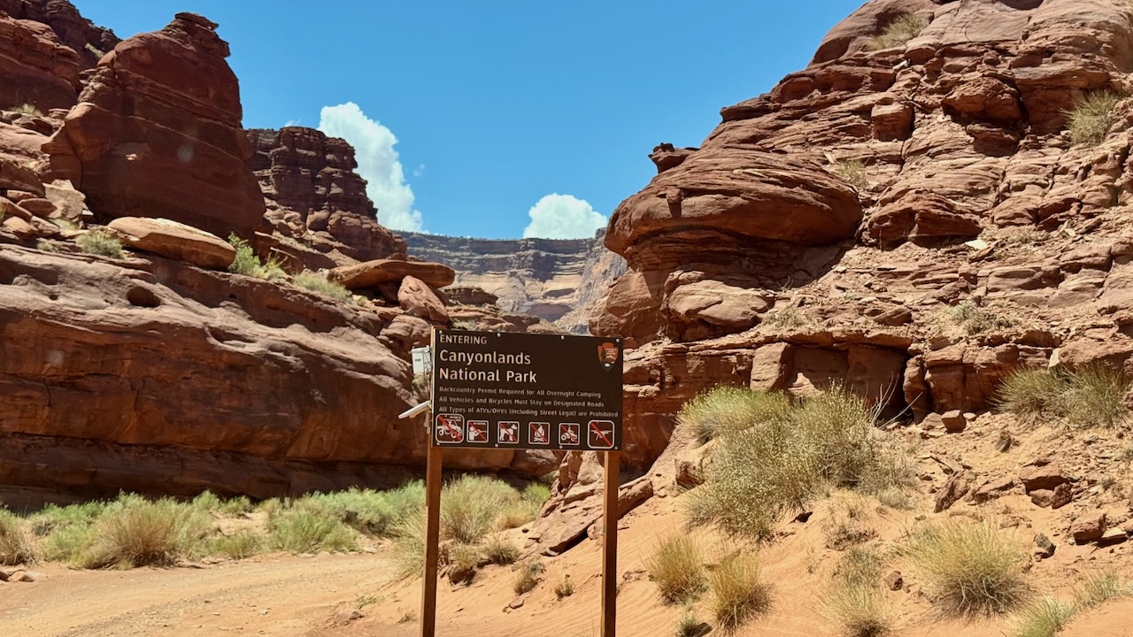
We next crossed into Cayonlands National Park. We think this is where the Potash Road ends and the Shafer Trail begins, but really, it doesn’t matter, it is the same road.
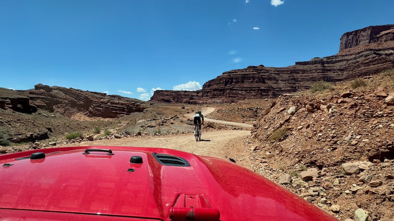
This biker was pretty quick down the hills. We went slowly because of the washboard. We soon left him behind.
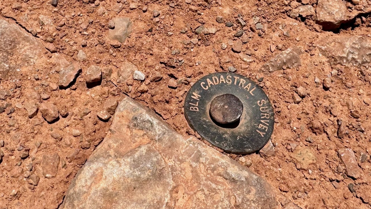
At the “Thelma and Louise” point there was this survey marker.
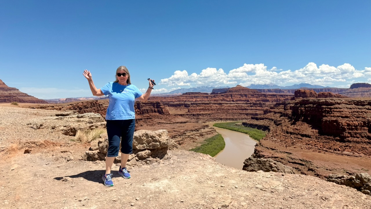
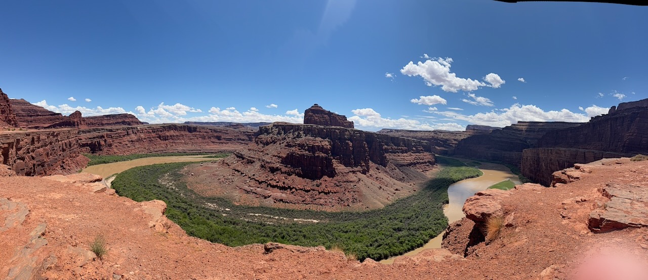
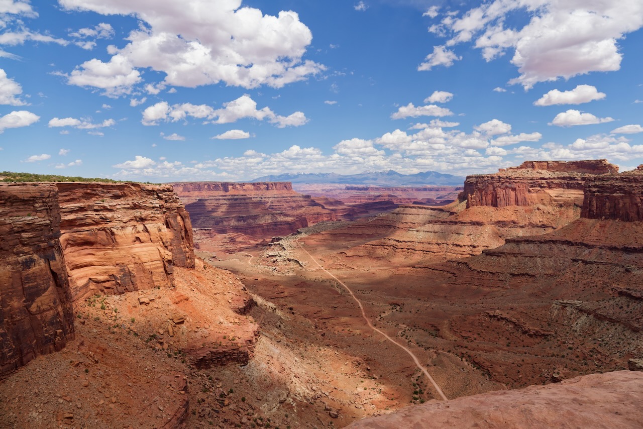
This is the view from Thelma and Louise Point. Yes, it was filmed here. You can find a clip on YouTube if you want to watch the final scene again. But don’t do it if you haven’t seen the movie yet because…spoilers!
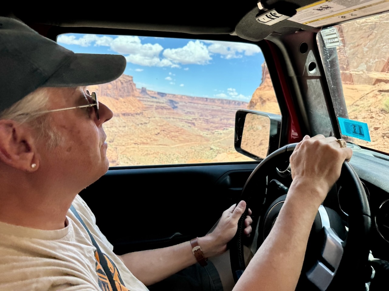
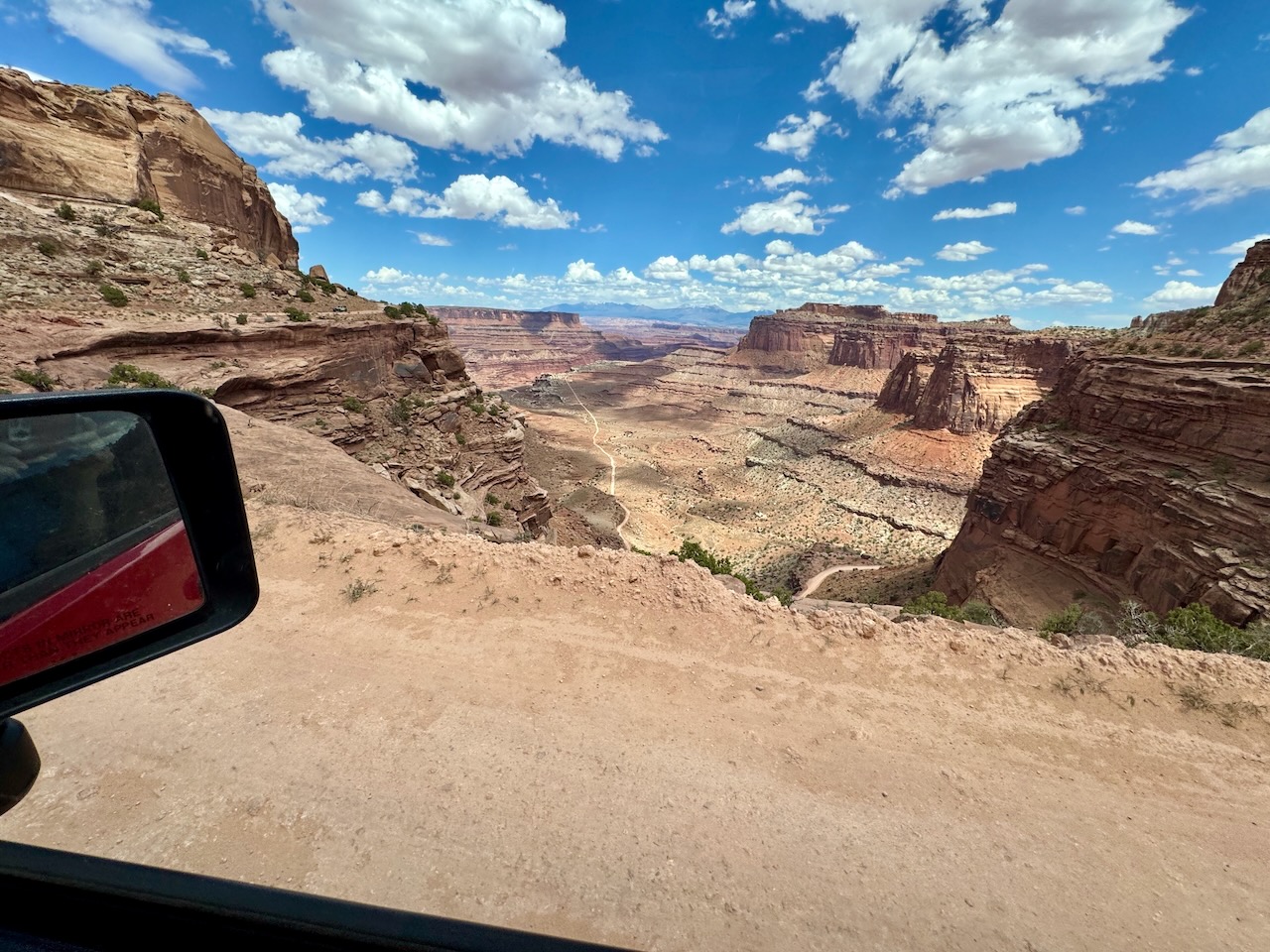
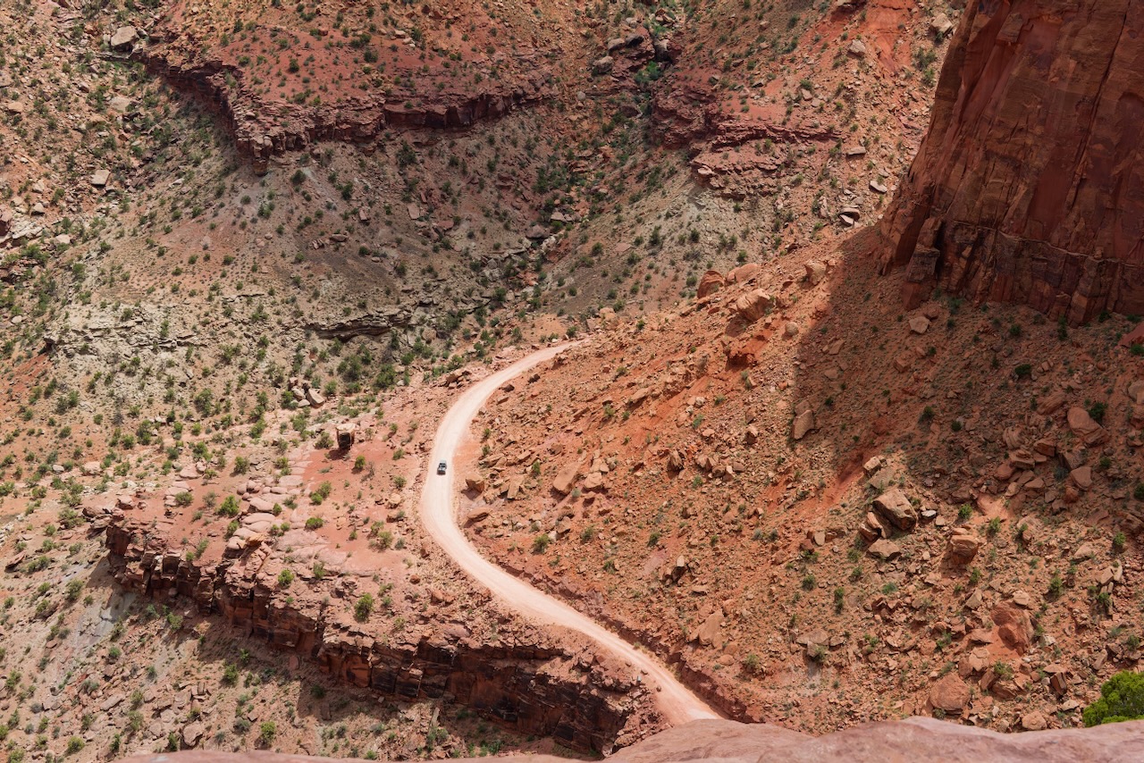
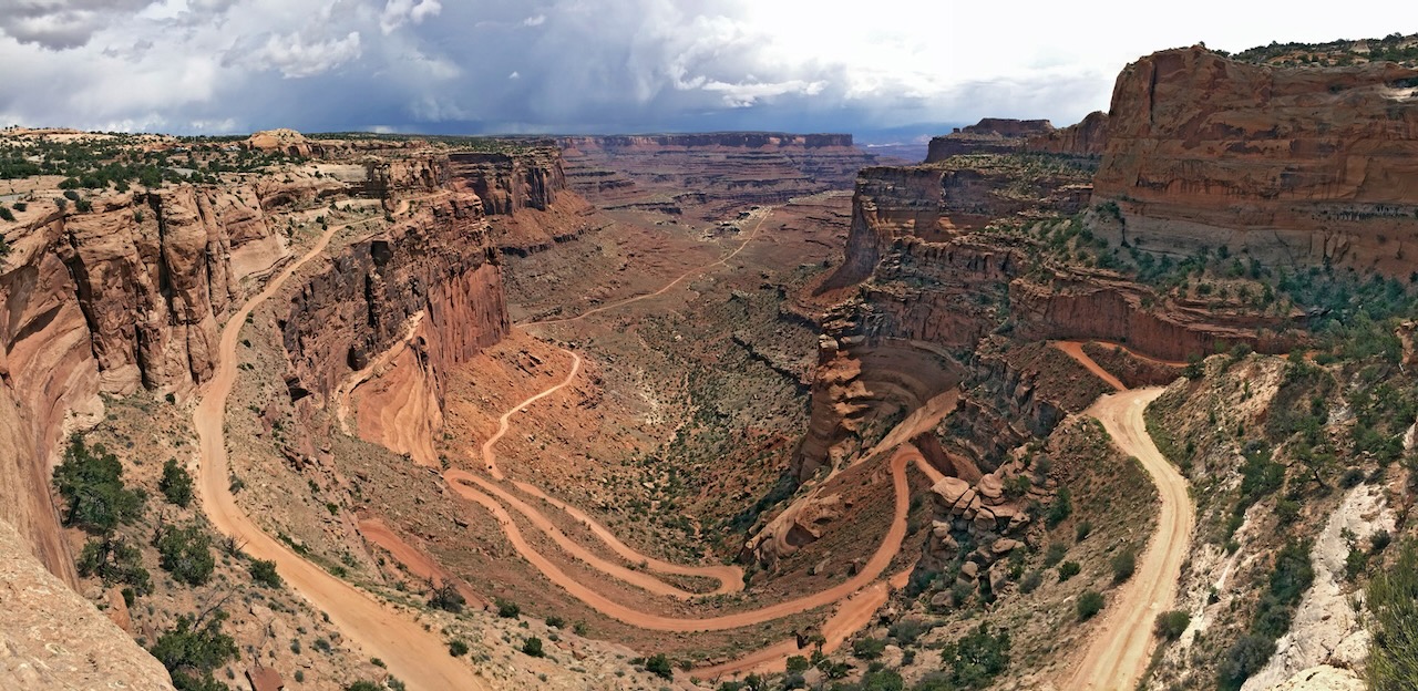
And now we start the climb of the famous Shafer switchbacks. We’re going to climb approximately 1,300 feet with no guardrails.
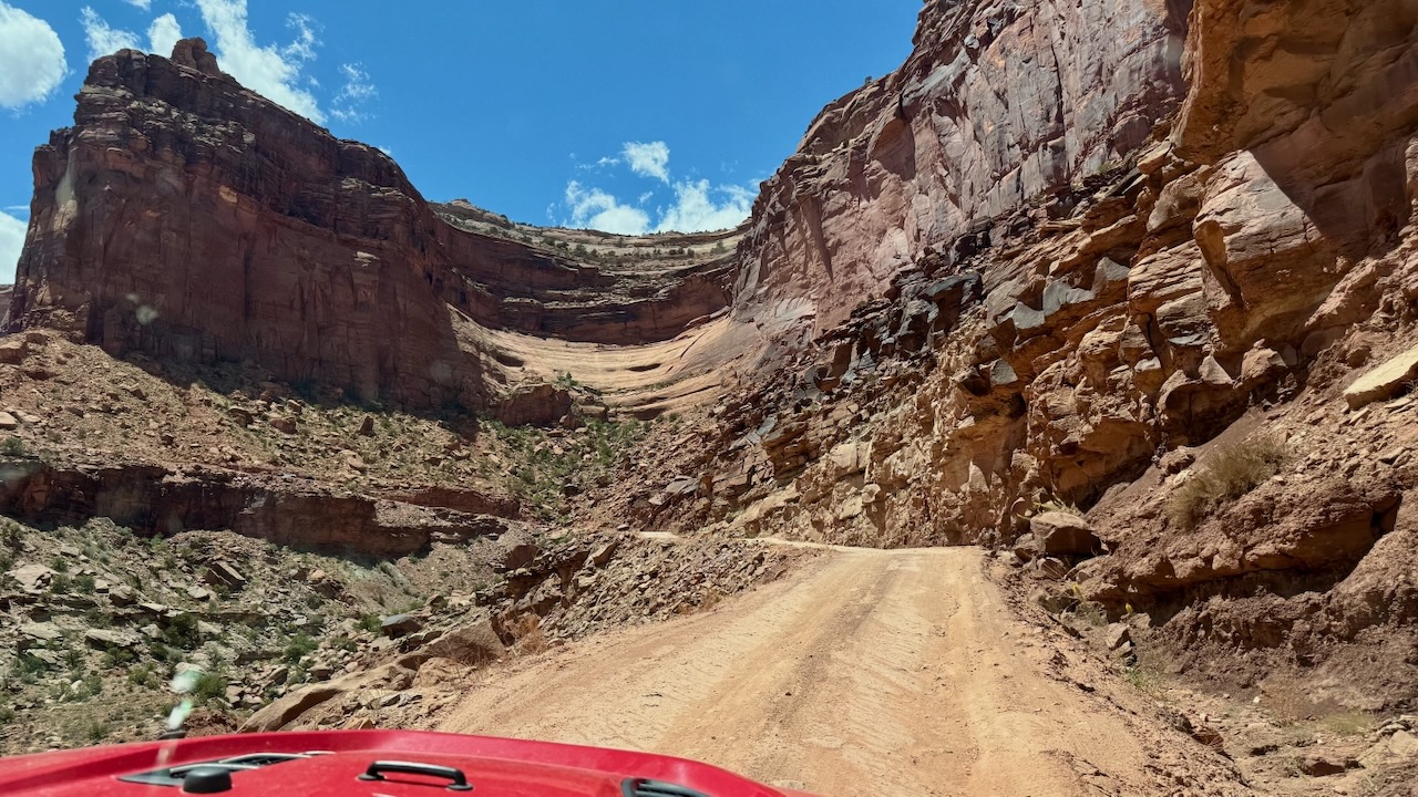
Buttes in the background are level but the Jeep is climbing at this point.
We had just passed a Jeep that had a flat tire. Someone had stopped to help them. We stopped and asked if they needed a breaker bar or a torque wrench, Paul carries those. They were all set. Susan noticed that the uphill good samaritan had chain his truck to their jeep. That’s remarkably clever because the flat was on the rear tire and once you lift the rear off the ground you lose your parking brakes!
We really had to skooch over to the right here, there was another vehicle descending, and they pulled over at a wide spot.
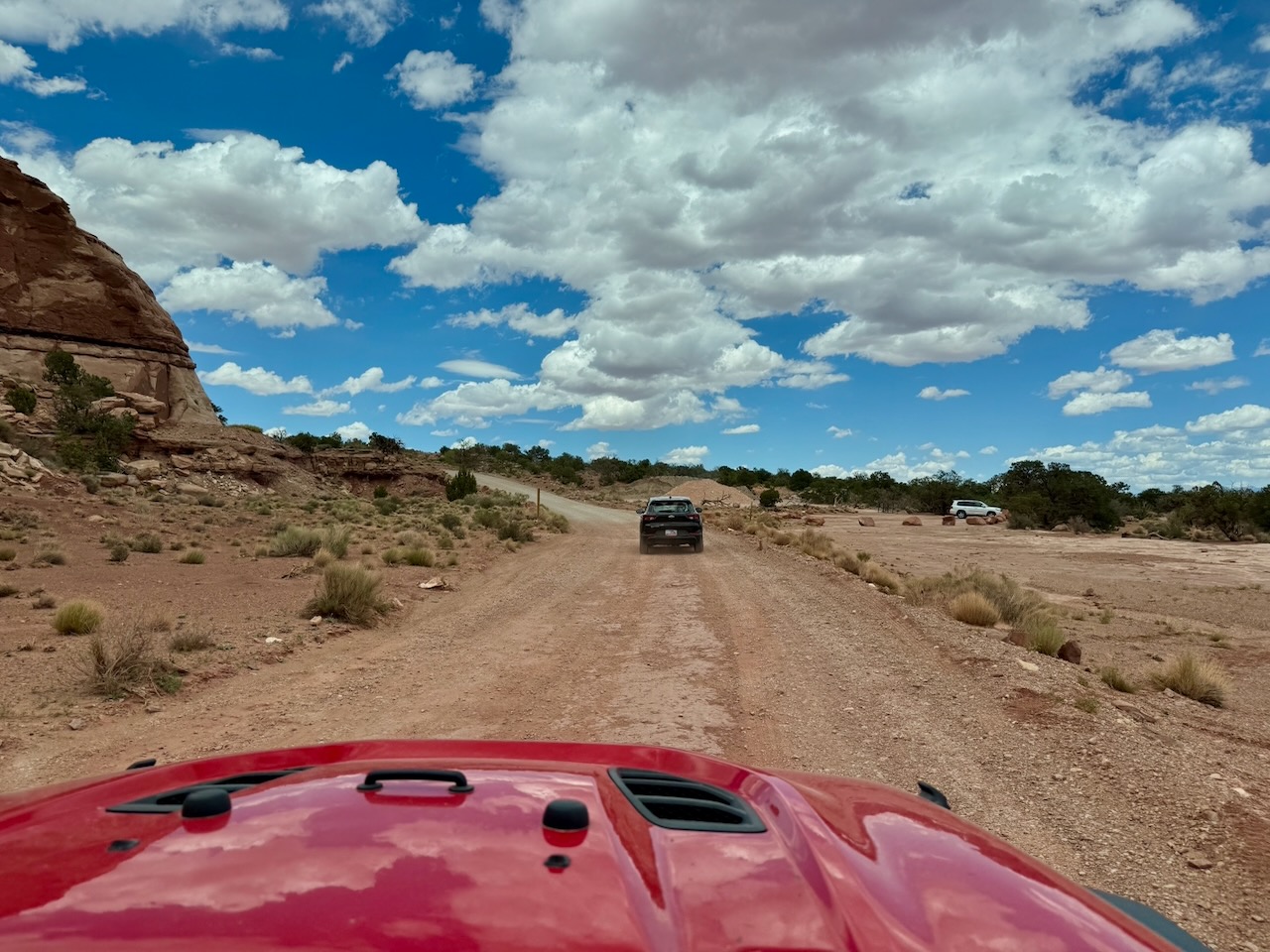
Speaking of wide spots just 1 vehicle can proceed at a time. There were many wide spots (we’re parked in one in this photo) so it made things easier.
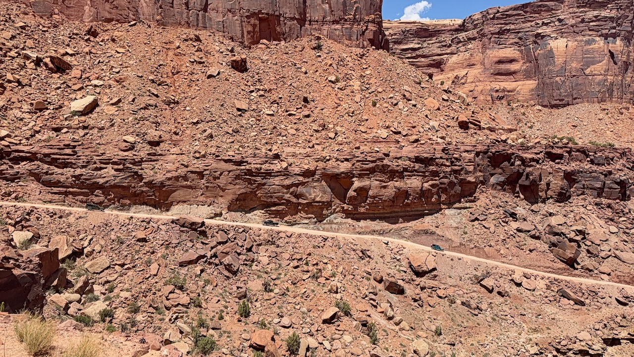
We’re getting near the top. That thin sand colored line in the middle of the photo is road we drove over.
This was a very wide lookout point.
We met another couple here, they were looking for the Shafer Trail. Paul was very confused because they were on Shafer Trail. He thought they were looking for a hiking trail, named Shafer Trail. We managed to convince them to not go down to the bottom. This vehicle was only partway to the bottom.
If they started, they had to finish. There is no bail out point. And once at the bottom, and we pointed out the bottom to them, their little compact SUV was not capable of making the road to Moab. It wasn’t hard, Gemini Bridges was harder, but still, it was clear they would be incapable of making it. We have significant off road experience and we both could have done in our Subaru Ascent. Neither of use would want to do it in their little car.
We followed them out, both to make sure they made it and also, first is worst! You get to meet the head on traffic around the blind corners!
We made it to the Vistors’ Center, got our stamp and fridge magnet, then went down to the lookout point to take it all in.
Paul spoke with 2 couples at this overlook. He convinced one to not do it because their dually-truck was too wide. The other had a Subaru Crosstek. He advised them against it but we think they did it anyway. Maybe they are still out there, begging snack bars and bottled water.
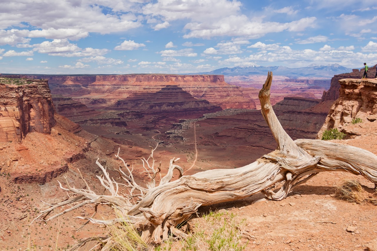
All the travel blogs have a great shot from this point showing all the switchbacks. Paul was unwilling to walk to the edge and look down. (Note the person in the upper right in the photo above!)
So here’s one he stole from the internet.
Are we glad we drove it? Absolutely. Will we do it again, no, there isn’t a need. (susan here: that’s a firm, hard, NOPE from me.)