The Not So Perfect Day
October 15, 2023 – Day 17
Paul wanted to title today’s blog “Clifford and the Terrible, Horrible, No Good, Very Bad Day” after the classic children book with a similar title. But the book is about a whiny kid and the day wasn’t that bad. Oh, it was probably our 2nd worse travel day ever so far (Day 1 of the Stuart trip tops this one.) The day started off so well.
We woke up just before sunrise. This is more difficult than it sounds. The bedroom of the coach is purposefully dark and the mattress is better than our one at home. (Note: buy a new mattress for home once we get back.) For our efforts we were rewarded with spectacular views of the lava field.
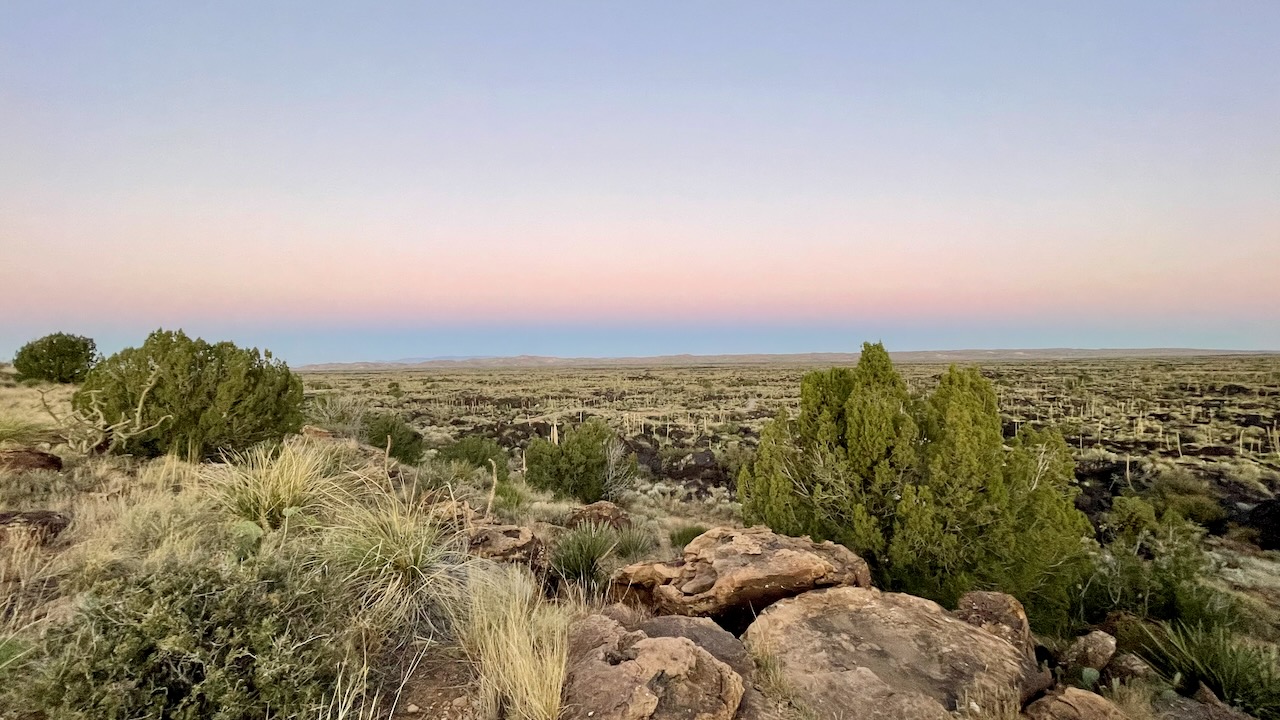
There was a short, paved, walking trail that lead down in the lava fields. You can’t tell from the photo above, it looks pretty bright, but the trail was mostly in the shadow of the hill the RV was perched on.
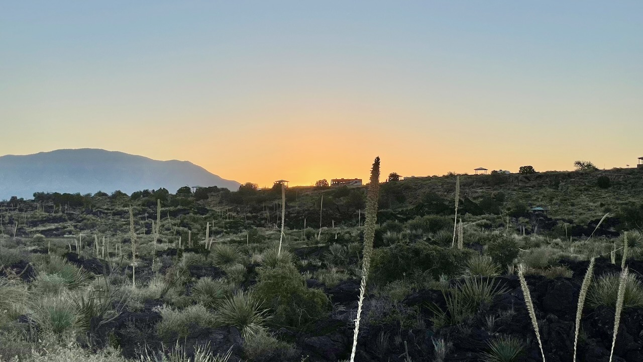
That’s Clifford up at the top of the hill. Paul wanted to be down there before the sun lit up the yucca plants and then the rest of the trail. He left camp too early and the sun didn’t come over the hillside until he was off the trail. The trail had several different species of birds. Of course he’d forgotten his binoculars so they were difficult to see at a distance. This is on a short list of places to come back to because it’s that beautiful. Paul will remember to bring his binoculars.
We didn’t need an early start. So what did your intrepid explorers do with all that extra time? Paul did ham radio stuff while Susan relaxed. We had plenty of time to enjoy the views and still not have to rush out the door (susan here: more accurately it’s get behind the wheel and drive.)
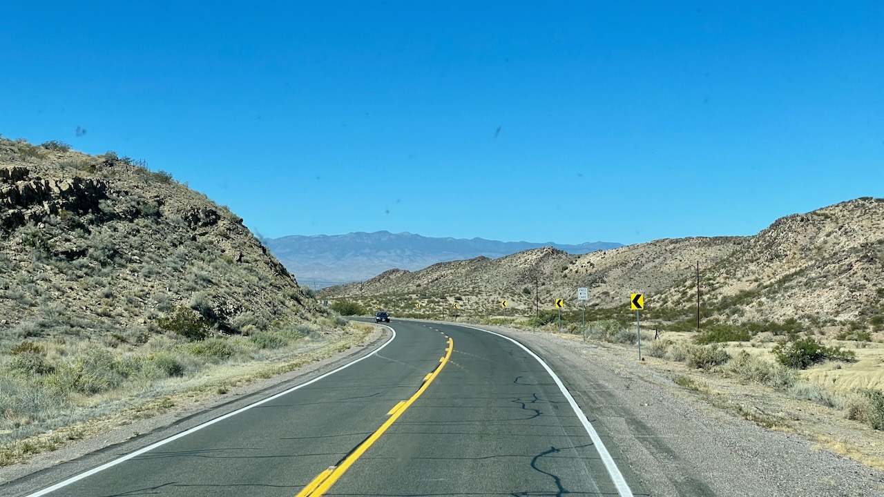
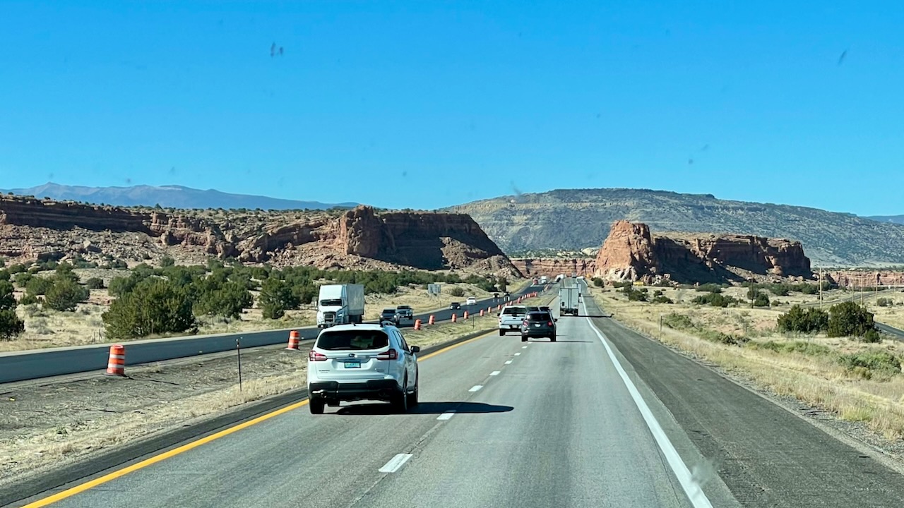
The road continued to be beautiful.
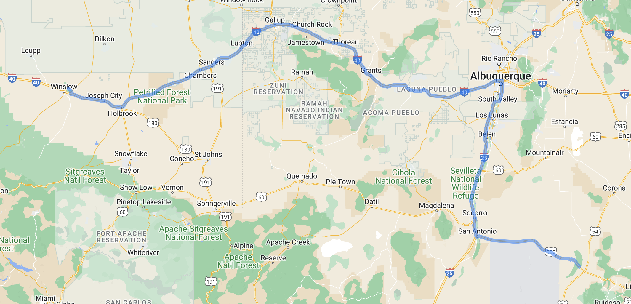
It was time to make that incorrect decision. You might recall that we are halfway from the middle of nowhere going to the middle of nowhere. Having enough gas for the trip is paramount. There are two choices to get to Winslow, AZ. The first is to take the secondary highways, like the one above. Or, drive farther but taking the same amount time via Albuquerque. We took the latter choice since there would a Pilot/Flying J and the road should be easier, right? Except it wasn’t.
Paul owns this one. He’s not sure how it happened. You see, the Pilot app gives you a station number but no physical address. It routes you to it using Google or Apple maps. He used the Apple map choice. Curiously, when checking out the location in Google maps he didn’t see the RV fuel lanes, the but the station geometry was perfect for driving the RV. We both thought that perhaps the RV friendly lanes were a new addition and Google didn’t have the info yet. We put the info into the Apple map and off we went.
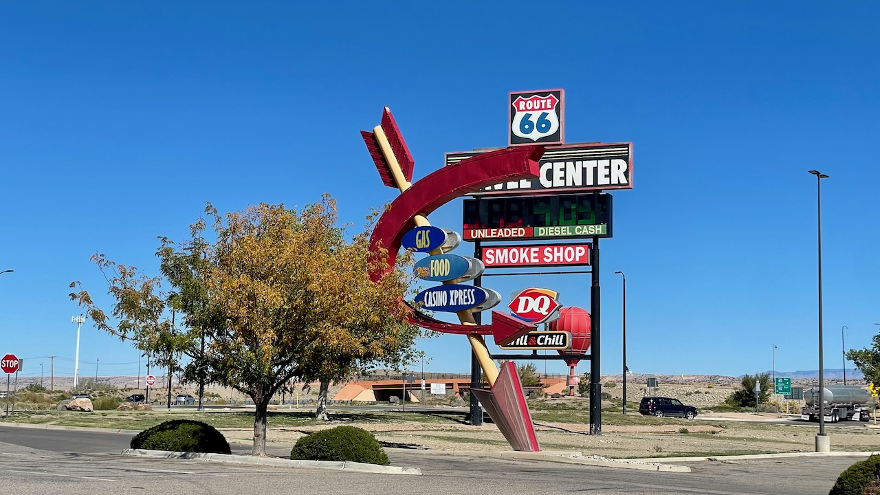
Some distance down the road Apple maps told us it was time to exit. When we got to the “arrived” spot we looked around. There was no Pilot/Flying J! Only a Love’s station. They’re an absolute nightmare to navigate in a car and we weren’t about to try it with this set-up. We regrouped, got back on the highway and took an exit further down the road. There was supposed to be a Pilot/Flying J there. It did have a nice rotary and sign and there’s a Route 66 Travel Center! A quick decision about lane orientation and we decided that “Yes, we can work with this.”
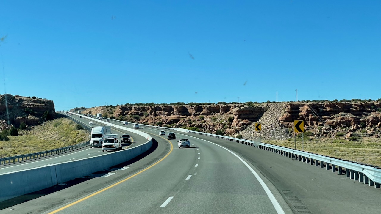
Route 66 and I-40 are the same road here and although we didn’t take the secondary highway the views didn’t disappoint.
Then the Garmin made the dreaded beep: “66 minutes of delay have been added to your trip. You are on the fastest route.”
Paul handed the GPS to Susan and said, find another route. Of course there weren’t any options. A few exits later it found one that saved a whole 3 minutes but would lead us into who knows what later on. This locked in the delay. We both hoped that the 66 minute estimate would get better as we got closer to the clog point.
It didn’t.
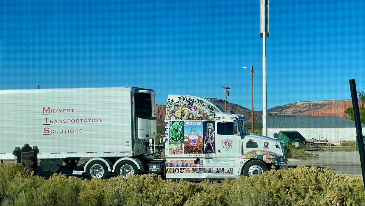
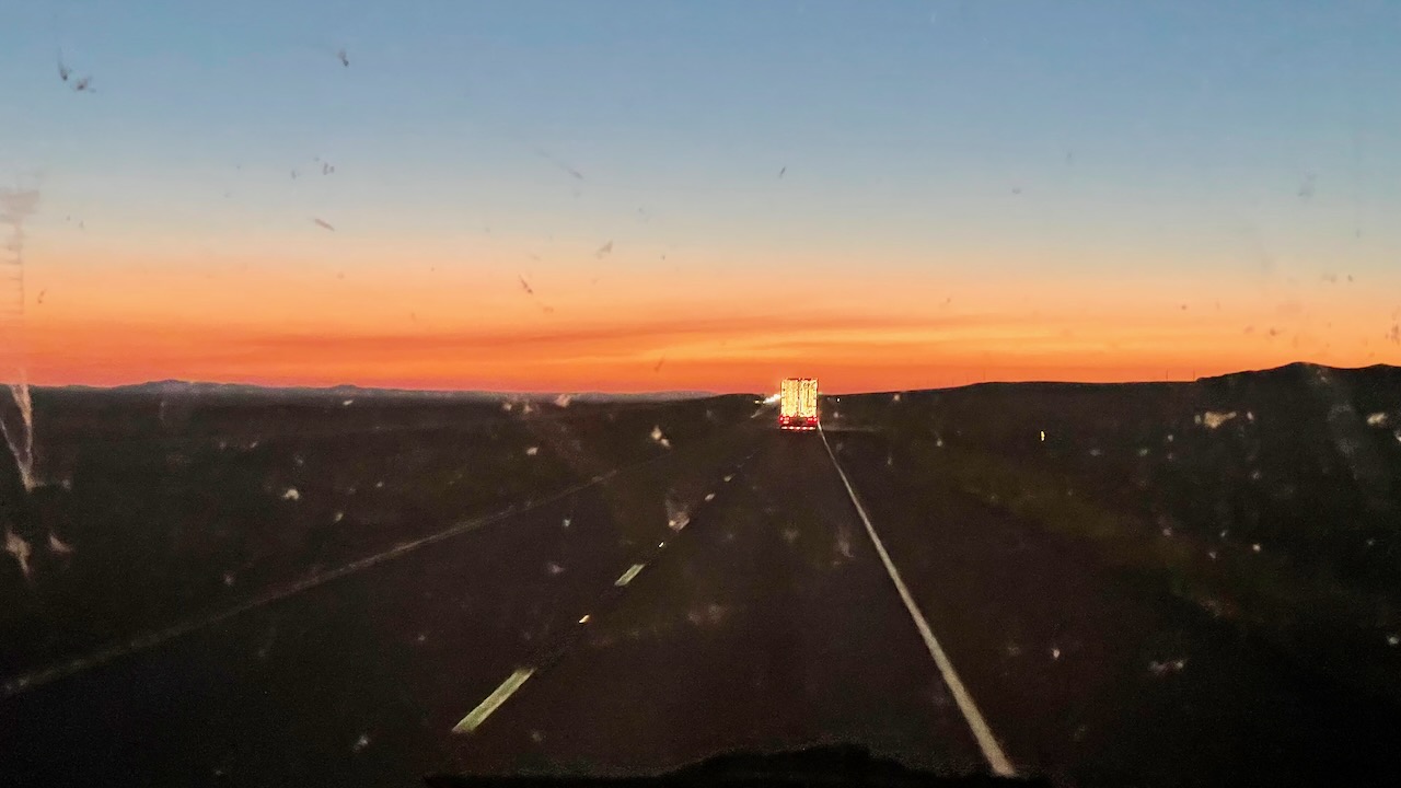
Susan did get to see a cool truck.
The traffic jam was caused by a lane drop for construction. We’re certainly going to look for traffic jams caused by construction when we head out on future legs of this trip and take alternate routes when feasible. The sun was setting as we passed through Holbrook, AZ. Oddly, the time on our watches didn’t change on the NM-AZ border crossing. We eventually figured it out. We weren’t in Arizona we were in Navajo nation. They use Daylight Savings Time while AZ doesn’t.
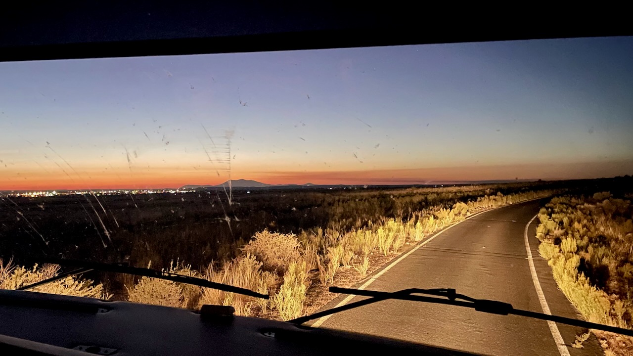
The setting sun was pretty as it set but it caused an awful glare. Fortunately traffic was light and fast, so he chugged along right hand lane doing 75mph, which was the speed limit, and let everybody else pass him. We hate driving this fast. Paul had been doing that since before the traffic jam trying to make sure we arrived before dark. We find setting up camp in the dark to be difficult and we didn’t want that happen again.
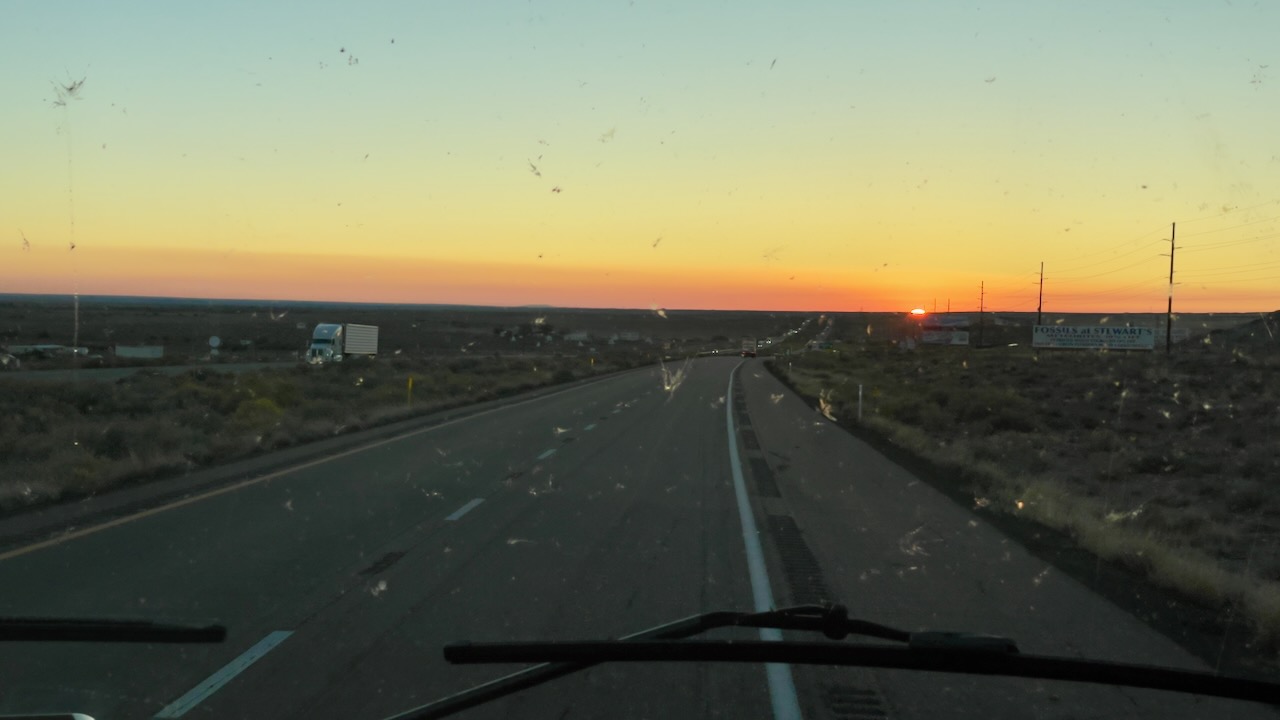
We still had more than an hour to go!
Susan took over the driving. The sky got prettier and prettier.
The headlights on the RV are pathetic. Paul asked Susan to just use the high beams, she said “I am!” (susan here: and then I went to low beams which essentially made it feel like we had none at all. This was a surprise for Paul and he quickly said “Put it back!”)
Eventually we made it to the campground but by that time we were well past sunset so it was pretty dark.
This is a huge state park with a very long road leading into the turn to the campground. The camera really makes it look brighter than it was. It was pretty dark at that point and very difficult to see anything at all. Plus, the park’s signs are tan letters on brown background and they’re faded a bit. Difficult to read in the day and nearly impossible to read at night. There were no streetlights, that’s a good and a bad thing. Bad thing: It was difficult figuring out where to go. Good thing: no light pollution.
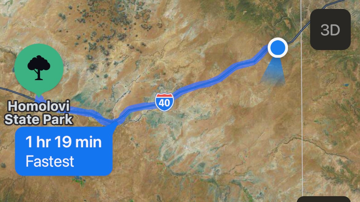
The campsite was wide and level–the exact opposite of last night. It was a breeze for Susan to back the RV in. Paul remembered about the rattlesnakes and used a headlamp to light the ground for every step he took when hooking up the power cord. Lizards and snakes will come off the sand at night to soak in the warmth of the pavement so you need to be careful. We’re going to be here for 5 days. It will be nice to be adventuring and not driving.
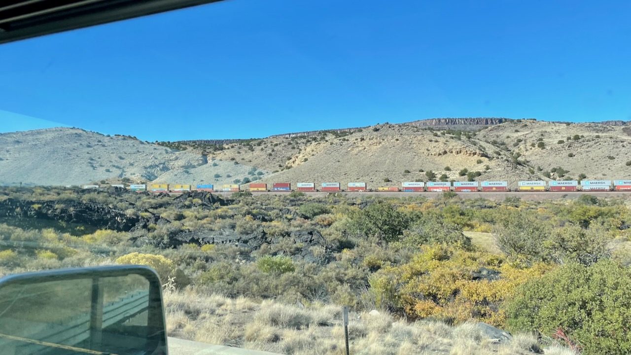
The Santa Fe railway is near I-40. It would be our constant companion over the next 5 days while we were camped at Homolovi State Park. In Hopi language, Homolovi translates to “place of many small hills”. This was the first of many long trains we would see from our vantage point up on the bluff.
Daily: 412
Total: 2,916
Moving Miles/Day: 324
Overall Miles/Day: 172
mpg: 6.64