Introduction to the Covered Bridge 54
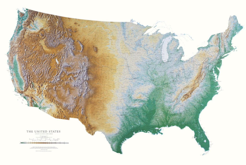
I’ve always liked maps. I think this goes back to when I was a kid. My Dad fixed up part of the basement for my brother and sister as a play area and he put two huge wall maps up, the United States and the World. They were 3-4 feet tall, made of plastic, with bumpy mountains, green forests and beige deserts. They were wonderful. (Thanks Dad!)
Many decades later, I still love maps. My wife and friends will attest to that. Whenever a trip is planned I spend lots of time pouring over destinations, routes etc..
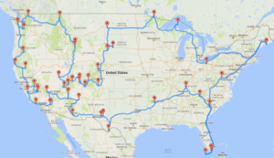
Retirement is coming up in some number of years and I had the idea of a massive tour of the United States. This was certainly inspired by Randal Olson’s The Optimal U.S. National Parks Centennial Road Trip blog along with a day trip Susan and I made the Muir Woods. The trip to the Muir Woods was wonderful. The bus trip from San Francisco only let us spend a few hours there, we want to go back and spend days there. We had never seen a place like that, and it wasn’t even a National Park. We had to find more awesome places to visit.
“My” USA tour would visit the four corners, Roosevelt Campobello International Park, the northern terminus of Route 1, which is another nod to my Dad, Mile 0 of Route 1, again thanks Dad who visited Key West as a young adult and Fort Kent decades later, Border Field State Park in San Diego CA, and of course, Prudhoe Bay, Alaska, but I’m tempted to skip Prudhoe Bay and go to Tuktoyaktuk, Northwest Territories, Canada, instead since you can more easily get to the Arctic Ocean.
And yes, that 5 corners, or six, math is hard, deal with it.
But that’s just a big digression. We know we need to do small road trips to see if we like that. A trip, as described above, is easily 16,000 miles.
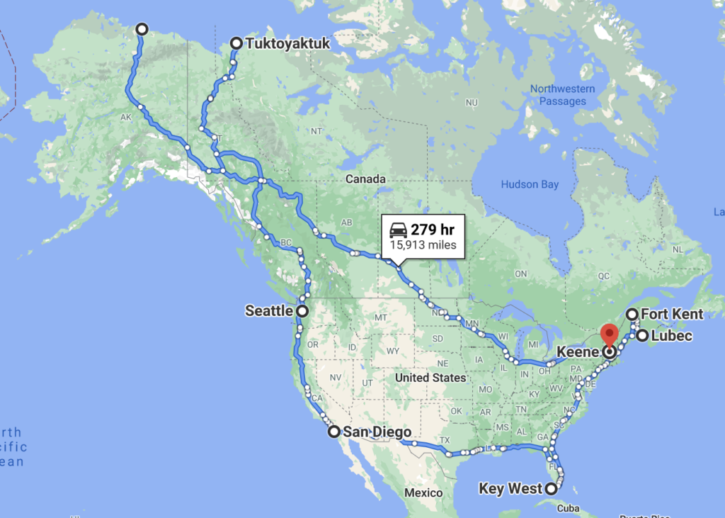
And yes, I have both Prudhoe Bay and Tuktoyaktuk in there because really, I can’t skip the Alcan Highway and adding Seattle added about 1,500 miles but it means I don’t repeat a lot of the route across the prairie in Canada. And we’ll add a zillion stops along the way, I need to see places like Cadillac Ranch, Graceland Mansion, and the Grand Canyon.
But still, the point is, that’s a big trip.
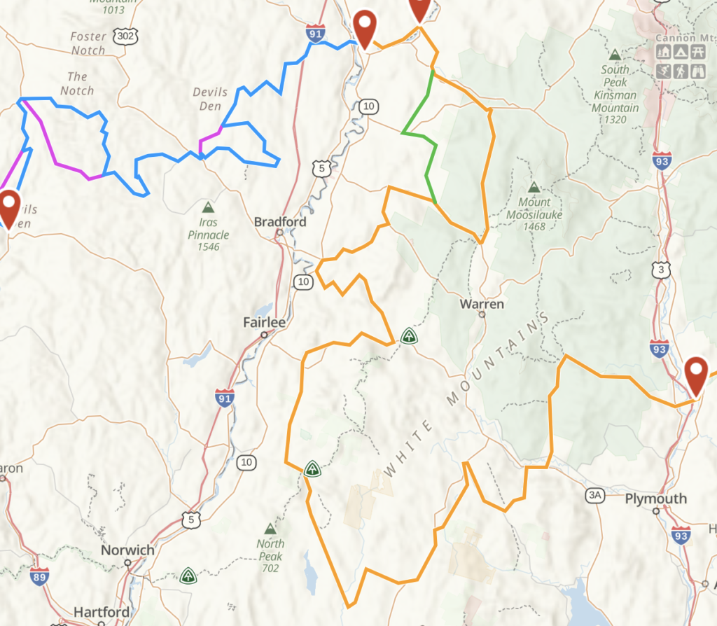
We’ve made 2 one day trips, just to see what it is like to follow an aimless track, following parts of the North East Backcountry Discovery Route. That was fun in parts and boring in others. And once the COVID makes travel safe we’ll likely do the Mid-Atlantic one, taking 2 weeks to do it, doing the bed and breakfast thing, not camping.
So what does that have to do with NH’s 54 Covered Bridges? There are 54 “official” covered bridges in NH and visiting all of them seems like a fun thing to do. This wasn’t an instant thought. We had a nice day this summer and took the top off the Jeep and visited all 5 of the bridges in Swanzey, the town south of us. And a few weeks ago, when doing part of the NEBDR we drove across two in quick succession, and that made me think that doing all 54 would be a fun trip and plus, it gives me time to hone my skills on route optimization, see, Randal Olson appears again