The Other Bridge is Cooler
April 16, 2025 — Day 11
Lums Pond State Park, Bear, DE — Kiptopeke State Park, Cape Charles, VA
It was quick to pack up to leave this morning because we had done all the water/sewer stuff the night before. We kept on thinking it was an easy peasy 3 1/2 hour drive to Kiptopeke. That’s because we keep on making the rookie mistake of checking Apple Maps for a time estimate. Apple Maps or Google Maps will give you the expected time based on the average time of other travelers. We aren’t average travelers. Clifford is the much bigger, slower “red dog” exceeding the speed limit only rarely, and usually to pass someone. Clifford’s zone for best gas mileage is 61-62mph. When it is 80mph (in Texas for example) we’ll drive about 70mph, and neither of us like it. We do it so we’re not that slow hazard on the road. Otherwise it’s slow and steady for us.
The plan was to leave about 10am to get to Kiptopeke State Park around 1:30, park, and go for a bike ride. We only left 30 minutes late, around 10:30. The GPS was telling us that a more scenic route was available, adding only about 20 minutes to the 4 hour time. We decided to take the scenic route as we had plenty of time. (susan here: you’ll note that we’re already a half hour beyond our departure target, plus 30 late minutes, plus 20 scenic minutes. For those at home we’ve gained 80 minutes already and we haven’t left the campsite yet!) First we had to go a bit out of our way for gas. We found a nice station on the way to the Diner the other day and decided to gas up there. We didn’t time it but that gas stop likely added another 20 minutes to the 80 minutes we’d already lost.
We found another one of those crazy, but very practical, bridge/overpasses where you drive on the wrong side of the road.
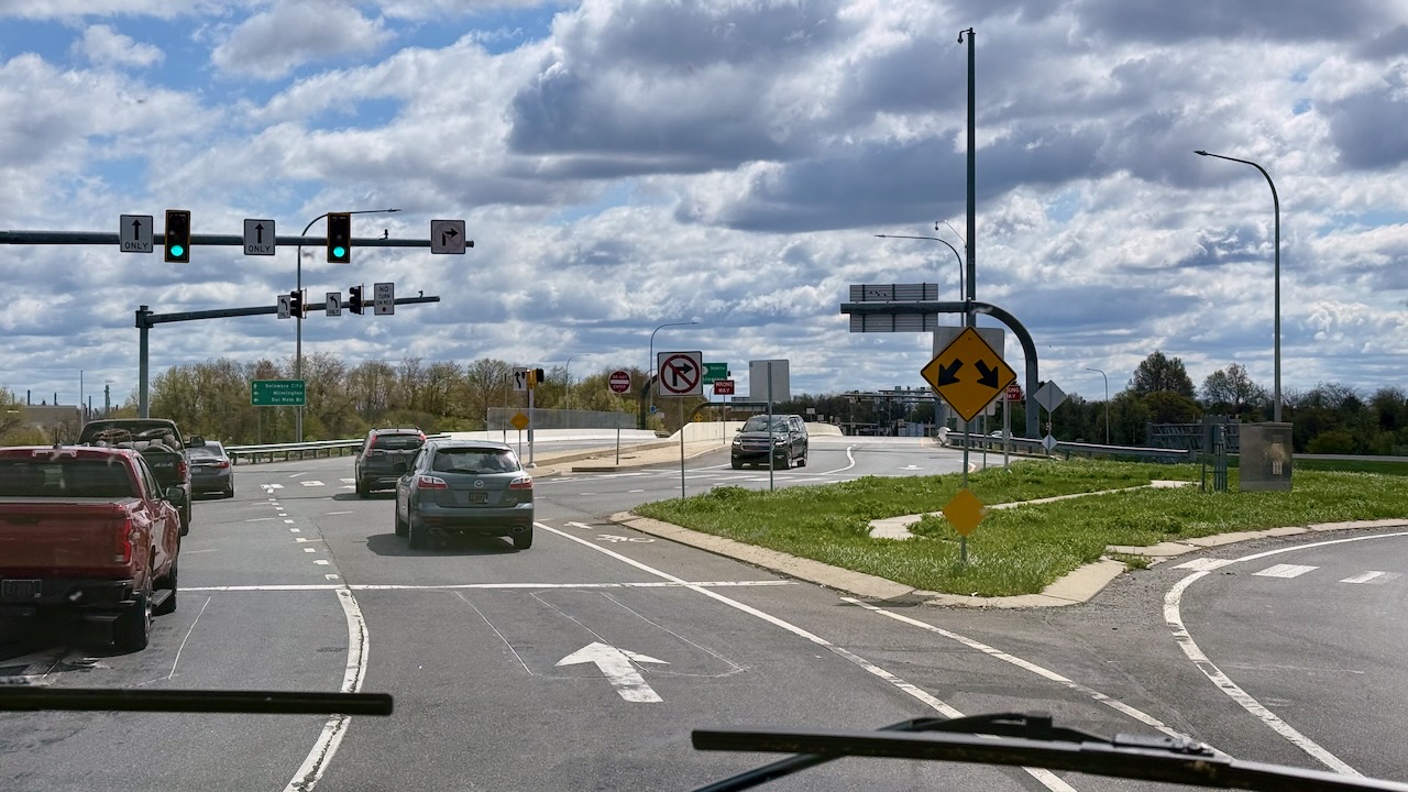
They look weird but they do eliminate a Left Turn traffic light, so they’re pretty cool.
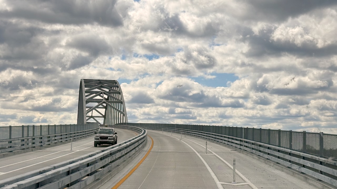
Next up, was a bridge over the C&D, aka Chesapeake and Delaware, Canal. We were on route 13, the scenic route. Susan wasn’t happy with the very light colored reflectors. Paul agreed they blended into the concrete pretty well and were nearly invisible. What’s to the right is a bike lane, all 2300′ or so of a long slog upward. We were glad to be in the Big Red Dog!
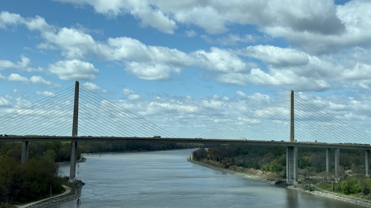
But the Route 1 bridge is cooler! (susan here: looks familiar, doesn’t it? Looks a lot like the Zakim bridge in Boston.)
We soon started disliking the scenic route even though it was very scenic. We had been on Route 9 in this area before and it’s especially nice. Paul had thought we would be going that way. Route 13 and Route 1 follow each other closely. Route 13 has the standard sprawl of typical chain stores & strip malls that you see everywhere. (susan here: we noticed that it seems every place looks a lot like every other place and mostly it’s because a lot of the same stores populate communities across the country. One Kohl’s looks like another. Same with Target. Or whatever big box store you’re thinking. It’s boring. We could stay home for that!) However, it is fun seeing a Waffle House instead of a Friendly’s. We only ever see them from about mid Atlantic south. That’s when we know we’re not in Kansas New England anymore. Is it arbitrary? Yup. We re-programmed the GPS to take us to Kiptopeke the fastest way. And by this point, Route 1 was just about the same amount of commercial blight plus we had to deal with traffic lights.
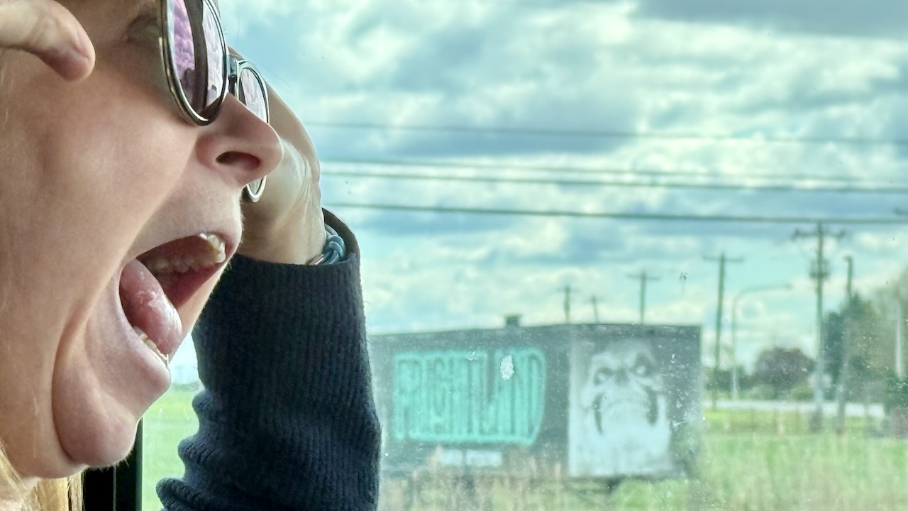
At one of those traffic lights, we found a road-side Paul Bunyan, doing double duty as a “We’re Hiring” sign. (susan here: Gee, Bunyan has an axe in hand. That looks like an inviting place to work, huh?)
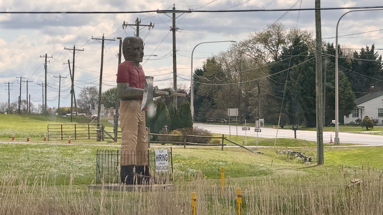
Susan tried to photobomb the shot but didn’t make it. But Paul still got the bomb!
Soon we came to mile marker 0.0 but which highway was it for?
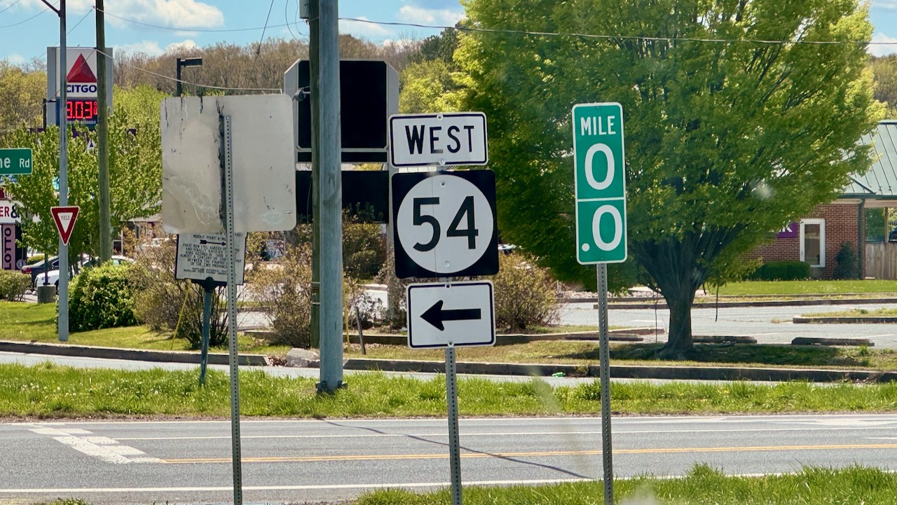
Not US1, since mile marker 0 is in Key West FL. Paul recreated his dad’s trip to the mile maker when he was in Key West about 20 years ago. And it isn’t Route 13, because 13 goes the to the bottom of the DelMarVa peninsula. And it isn’t West 54, because that continues. And it isn’t the Delaware / Maryland border because we’re about a 1/10th of mile from there. Who knows?
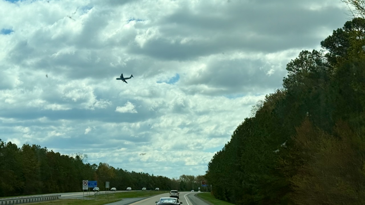
We had this big plane fly over low when we were passing by Dover AFB.
So far the drive was not fun. We had the traffic to deal with plus it was a windy day at times gusting to 40mph! We much decided short shifts of 1 hour were called for. Paul found a Lowe’s parking lot around noon and we pulled in for lunch and driver change. It was conveniently about an hour since Susan had started driving.
Paul took over and about a heaping hour later and found the conditions just as dreadful as Susan had found and happily pulled into a rest area for a quick change.
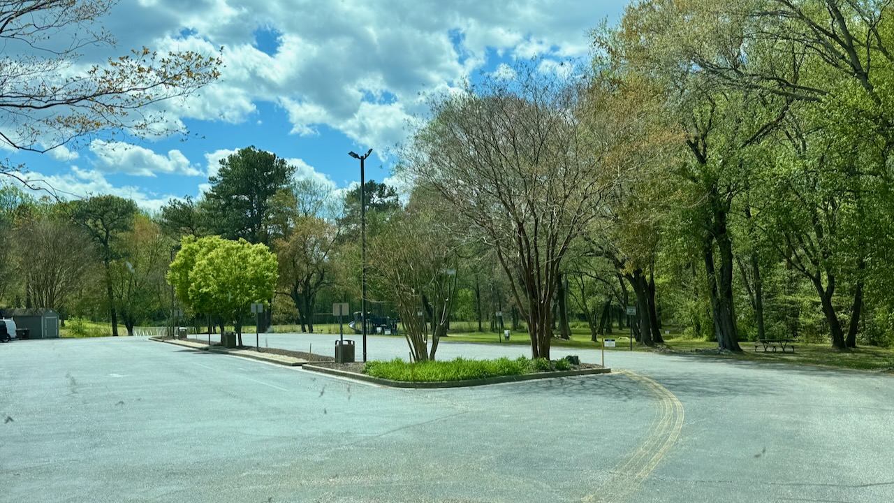
BTW, Apple had little icons on two of the trees. When you click them, it tells you that the on on the far right of the median strip is a Siberian Elm. Grrr…. cut it down and put native trees in. The big ones to the Elm’s right is a Poplar.
About an hour late we passed another border rest area. Maryland and Virginia both have them when entering their own state. Maryland wanted us to U-turn back & use their rest area, then make another U-turn to get south again. That’s a nope! We were glad to see that Virginia had their own stop but it wasn’t nearly as nice as either of the Maryland stops. There was a Maryland one a few years back that it didn’t have any truck or RV parking! That time we parked on the entrance ramp right behind a truck, made a quick change and were on our way.
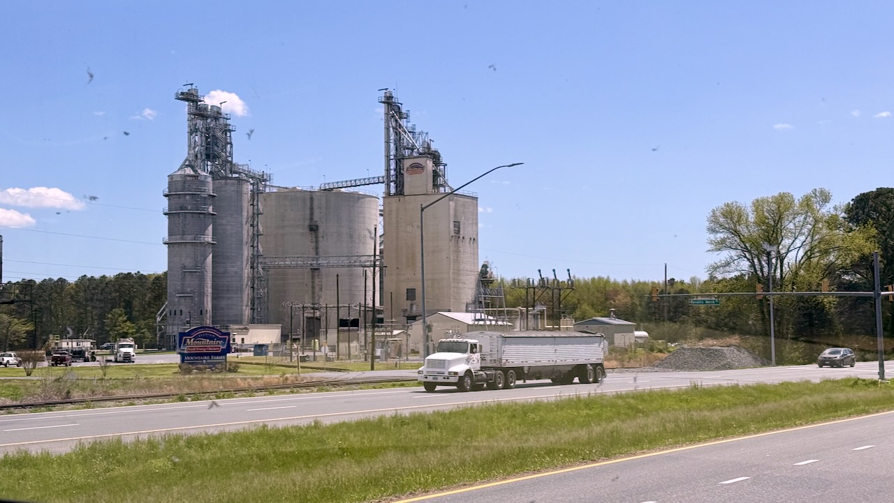
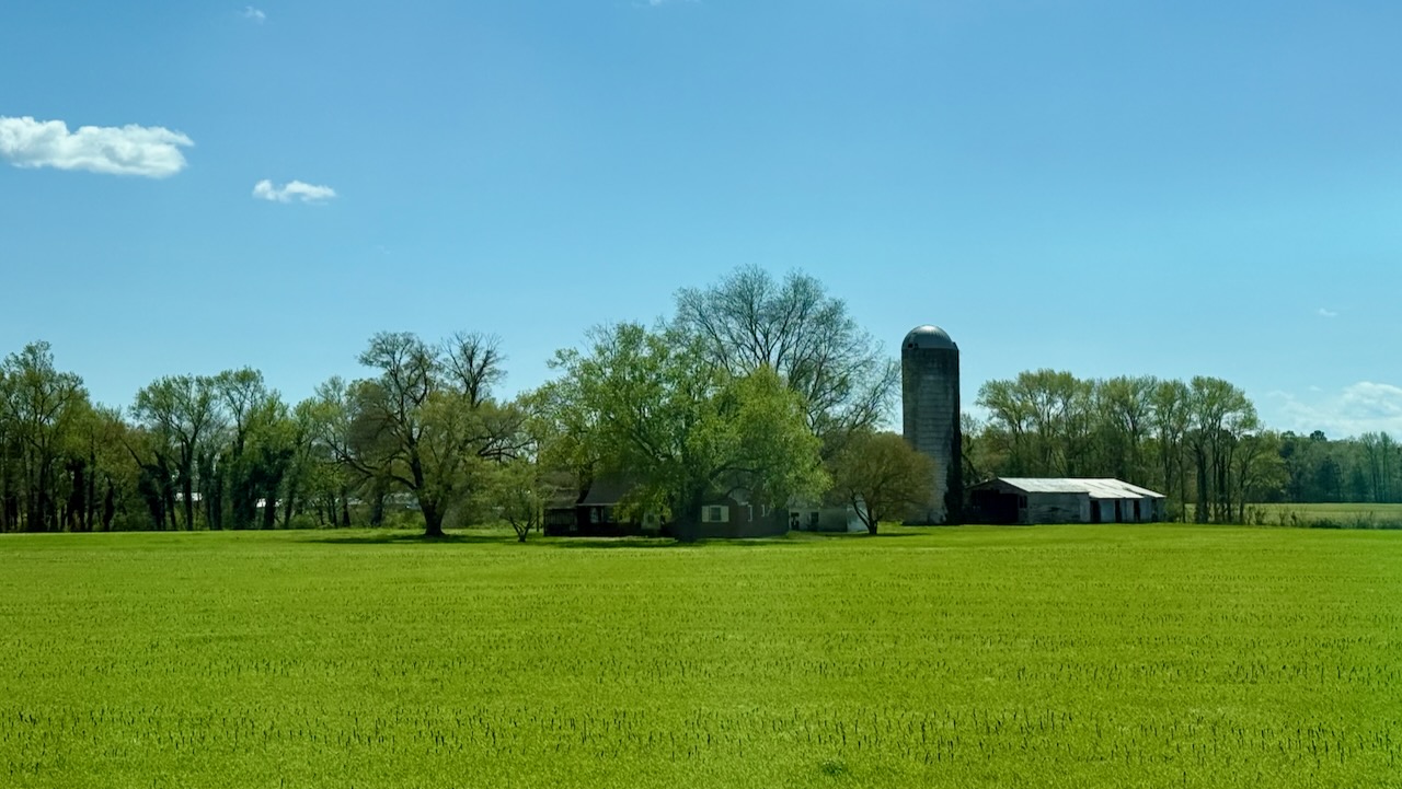
We’re deep in farm country now.
We pulled into Kiptopeke State Park a little after 4pm.
The driving took a lot out of us. We didn’t even think about going for that bike ride!

Sharp eye readers will notice that the map above doesn’t show the same route as the map below. I needed to put in some shaping points in the above map to show the roads we took. I don’t have that option below for lame reasons.

Daily: 202 miles
Total: 752 miles
Driving miles/Day: 125 miles/day
Overall miles/Day: 68 miles
mpg: 6.16